vdcen

Abandoned Village of Mata - Luri

5/5 - 1 reviews
Mata
5
1
11
r67181f3f0ee73
25
voc
Posted on 20/06/2023
Updated 1 year ago
Tour carrée de Mata à Luri, le 17/09/2016Arbre dans une maison en ruine au village abandonné à Mata, Cap Corse - 17/09/2016
Forêt - Luri - Cap Corse - 17/09/2016Sentier de randonnée au village abandonné à Mata, Luri - 17/09/2016Tunnel d'arbres au village abandonné de Mata à Luri - 17/09/2016Ile de Capraia vue depuis Cap Corse, Luri - 17/09/2016Ile de Capraia depuis le Cap Corse, Luri - 17/09/2016Route du Cap Corse - 17/09/2016
Mata
4.5 km - 2h00 - Altitude : 90 à 230m - Elevation : 140m - Difficulty : 2/5
Randonnée en MontagneParcours FamilialAdapté aux chiensMata

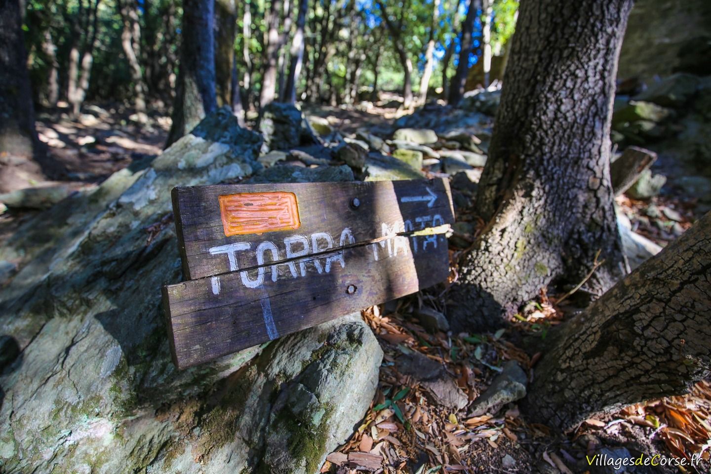
Access to the village of Mata

Abandoned village of Mata in Luri - 17/09/2016Sentier Tunnel D Arbres abandoned village of Mata in Luri - 17/09/2016Abandoned village trail from Mata to Luri - 17/09/2016
Cavite Rocheuse Luri - 17/09/2016Cavite Rocheuse Luri - 17/09/2016Abandoned village of Mata in Luri - 17/09/2016Abandoned village of Mata in Luri - 17/09/2016Abandoned village of Mata in Luri - 17/09/2016Abandoned village of Mata in Luri - 17/09/2016Chemin village Abandonne Mata Cap Corse Luri - 17/09/2016Aria Marina Mata Luri sign - 17/09/2016Muracce Mata Luri sign - 17/09/2016

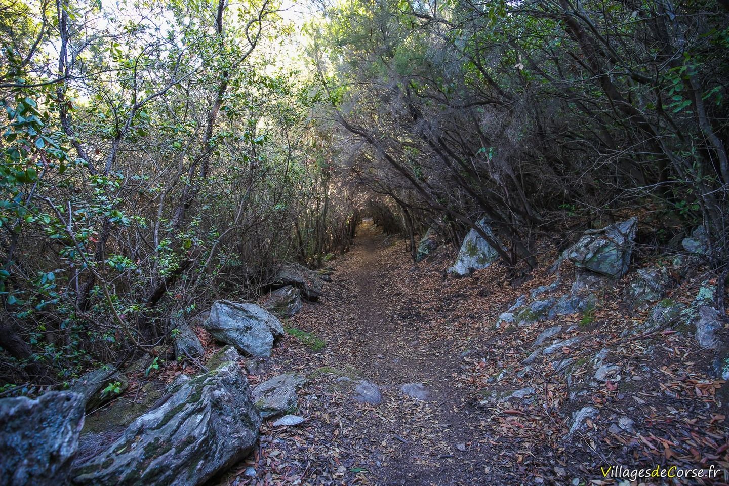
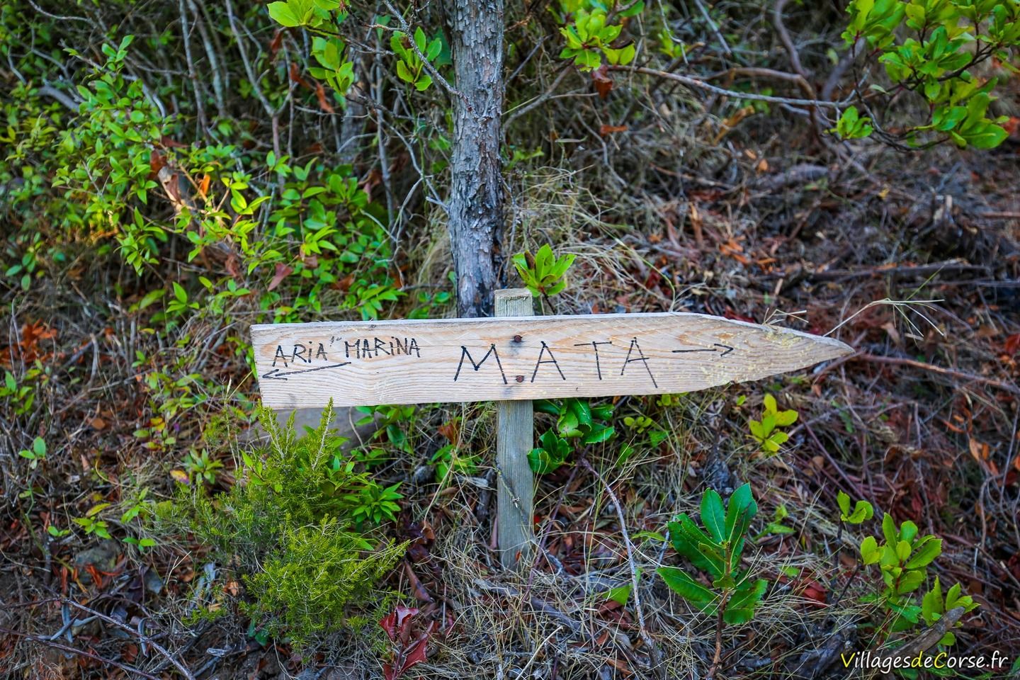
The hiking trail is located in the village of Campu, now a hamlet of Luri. Park at the small car park opposite the Chapelle Saint-Sébastien. The walk begins 50 metres above the chapel, either by continuing along the tarmac road or by following the signs on the other route, which passes above the Chapelle Saint-Sébastien. You can choose either route, as you can loop back and forth.

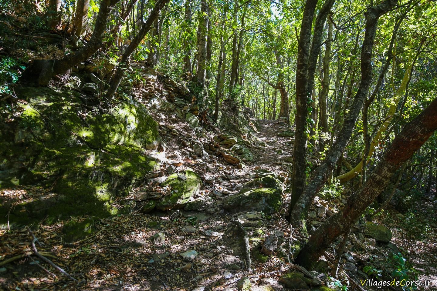
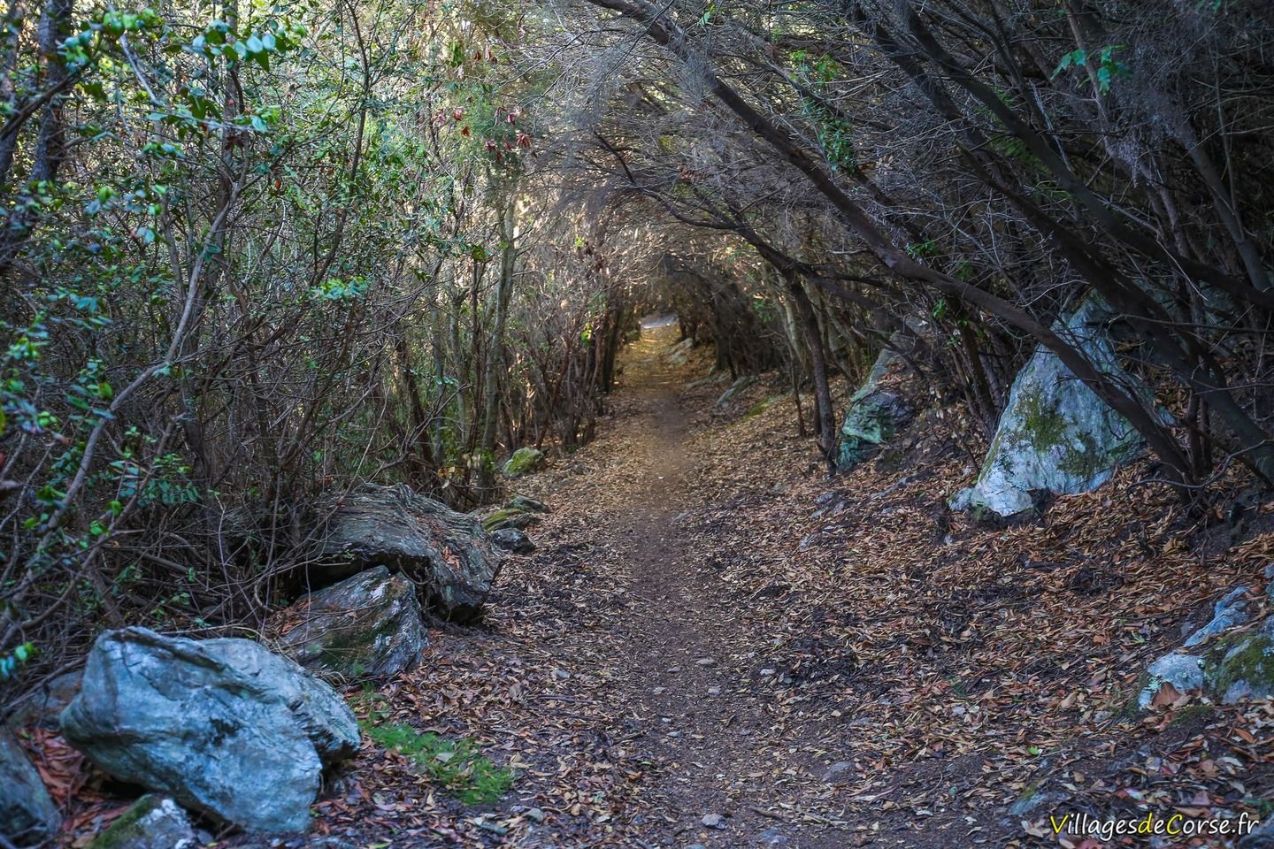
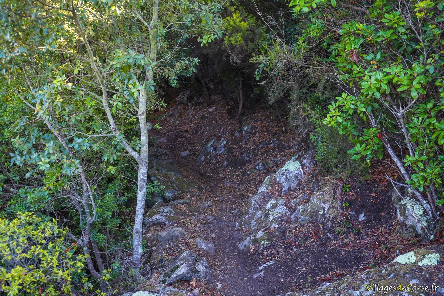
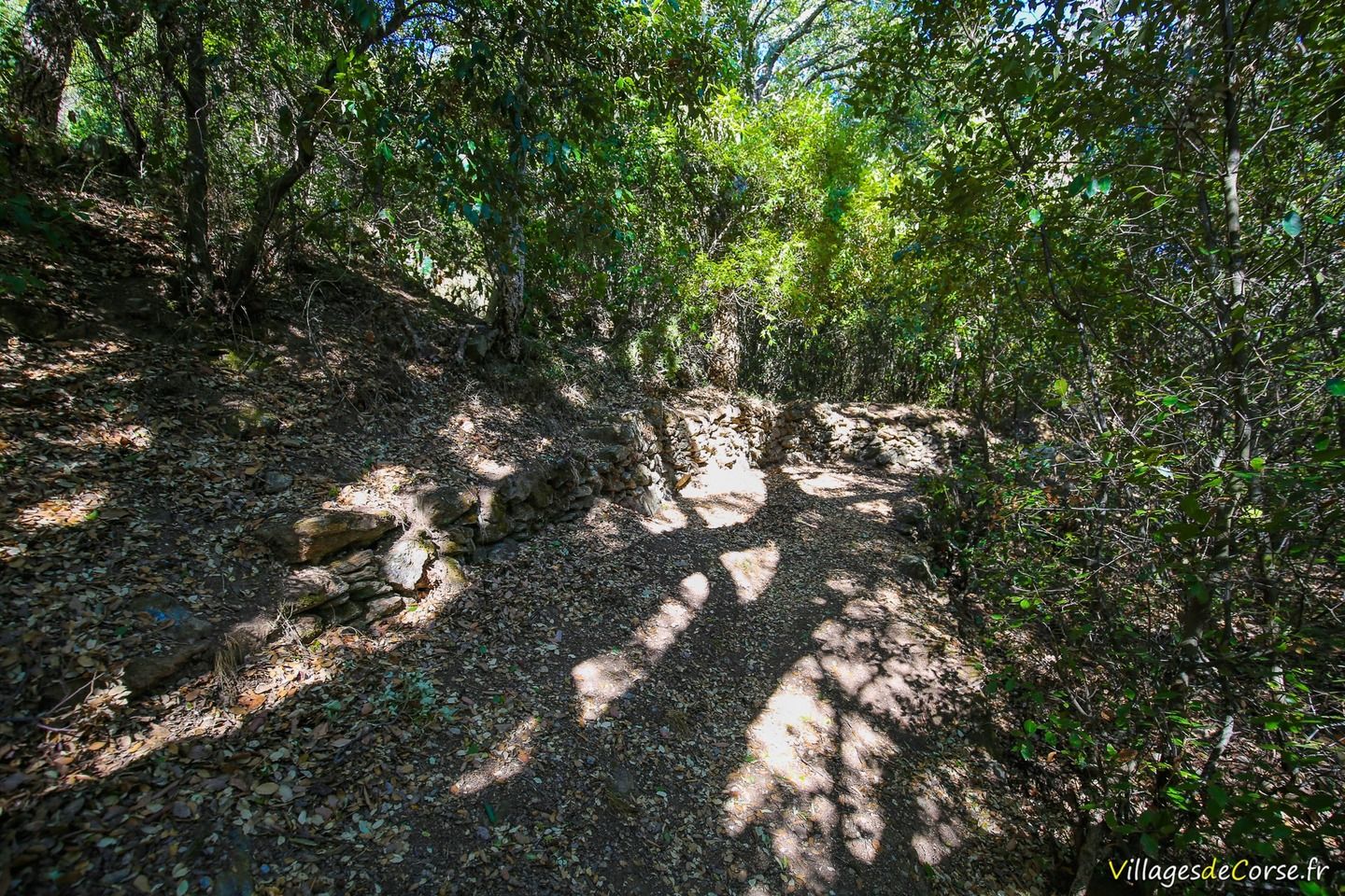
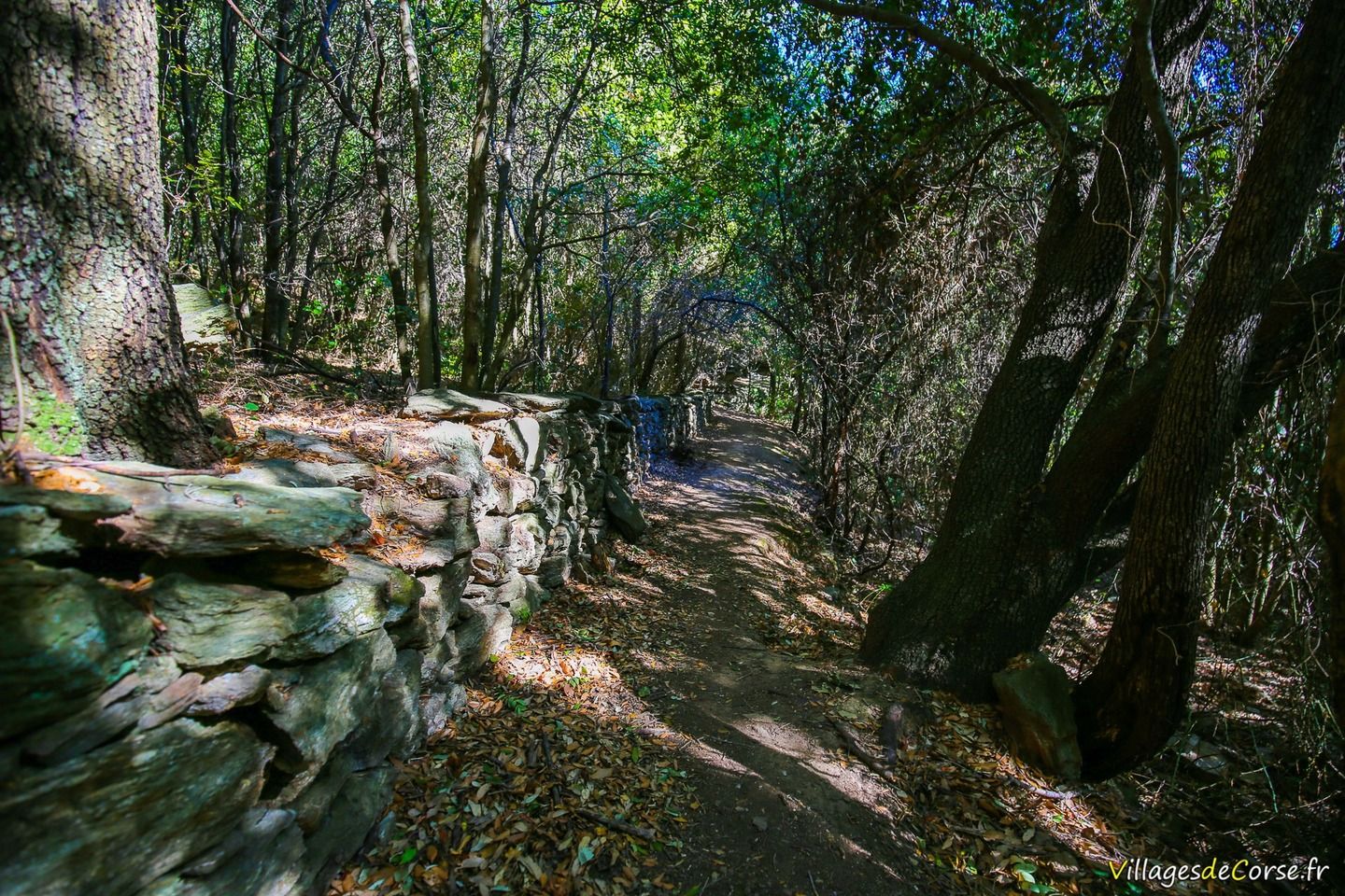
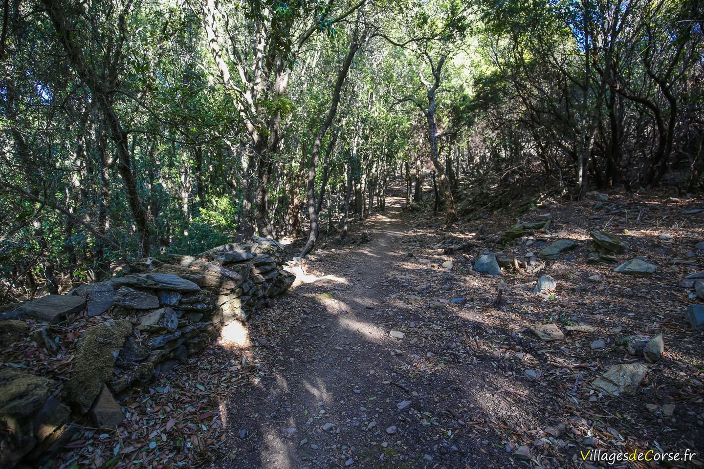
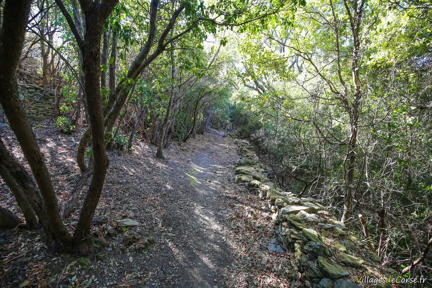
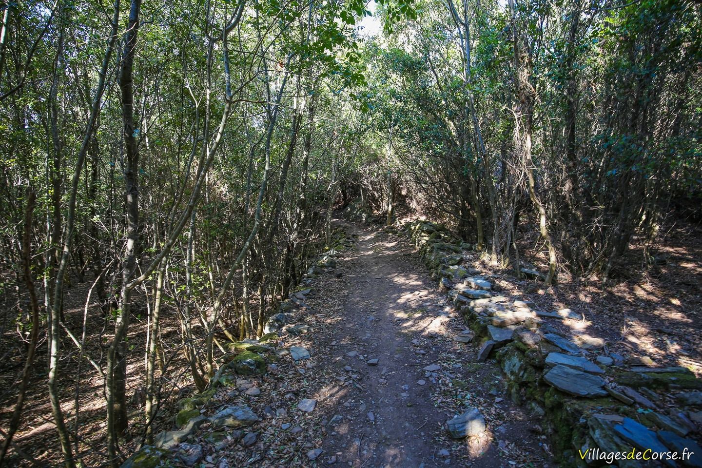
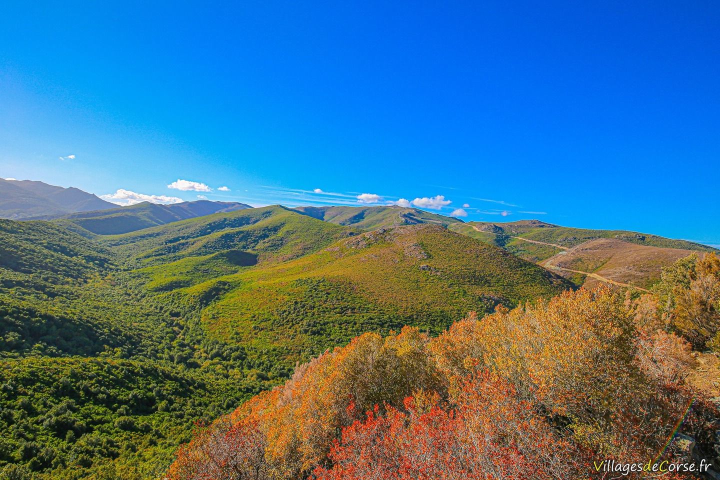
The entire route to the ruins of Mata is shaded by trees and tall vegetation. It's a route suitable for everyone, and one that's clear if you stick to the access to the village of Mata.

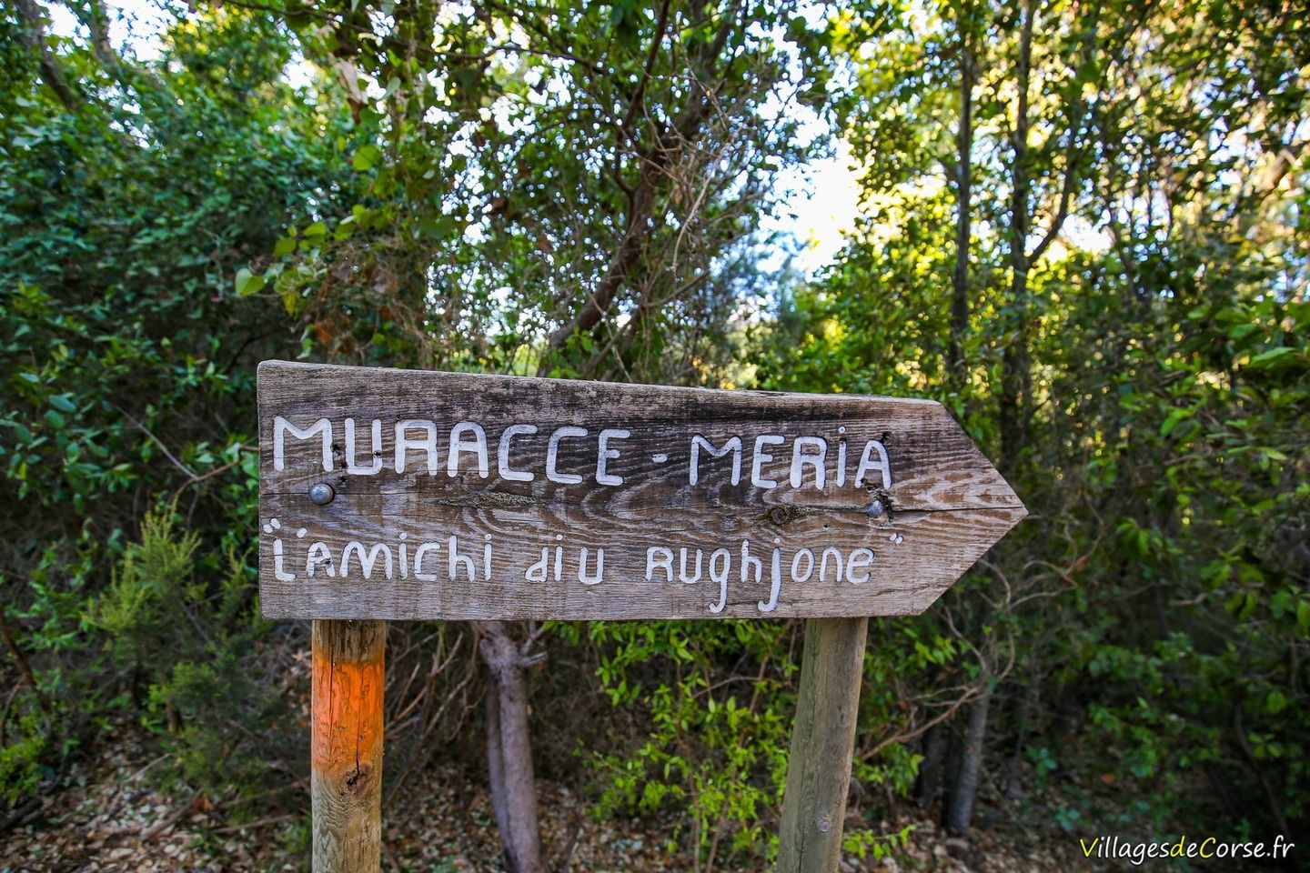
Note: At the start of this route, there is another stage leading to another abandoned village called Muraccie.

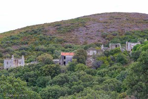
Abandoned village and Mata Tower

Hamlet of Mata in Luri, 17/09/2016Hamlet of Mata in Luri, 17/09/2016Tree in a ruined house in the abandoned village of Mata, Cap Corse - 17/09/2016
Hamlet of Mata in Luri, 17/09/2016House in the abandoned village of Mata in Luri - 17/09/2016House in the abandoned village of Mata in Luri - 17/09/2016Abandoned house village Mata - 17/09/2016Tree In Abandoned House Mata Luri - 17/09/2016House Ruine village Abandone Mata Cap Corse - 17/09/2016House Ruin village Abandone village Mata - 17/09/2016House Ruin village Abandone village Mata - 17/09/2016Mata square towers in Luri, 17/09/2016Mata square towers in Luri, 17/09/2016Mata square towers in Luri, 17/09/2016Mata square towers in Luri, 17/09/2016Hamlet of Mata in Luri, 17/09/2016Hamlet of Mata in Luri, 17/09/2016Hamlet of Mata in Luri, 17/09/2016House in the abandoned village of Mata in Luri - 17/09/2016Tree in ruined house, abandoned village in Mata Cap Corse - 17/09/2016Tree in ruined house, abandoned village in Mata Cap Corse - 17/09/2016

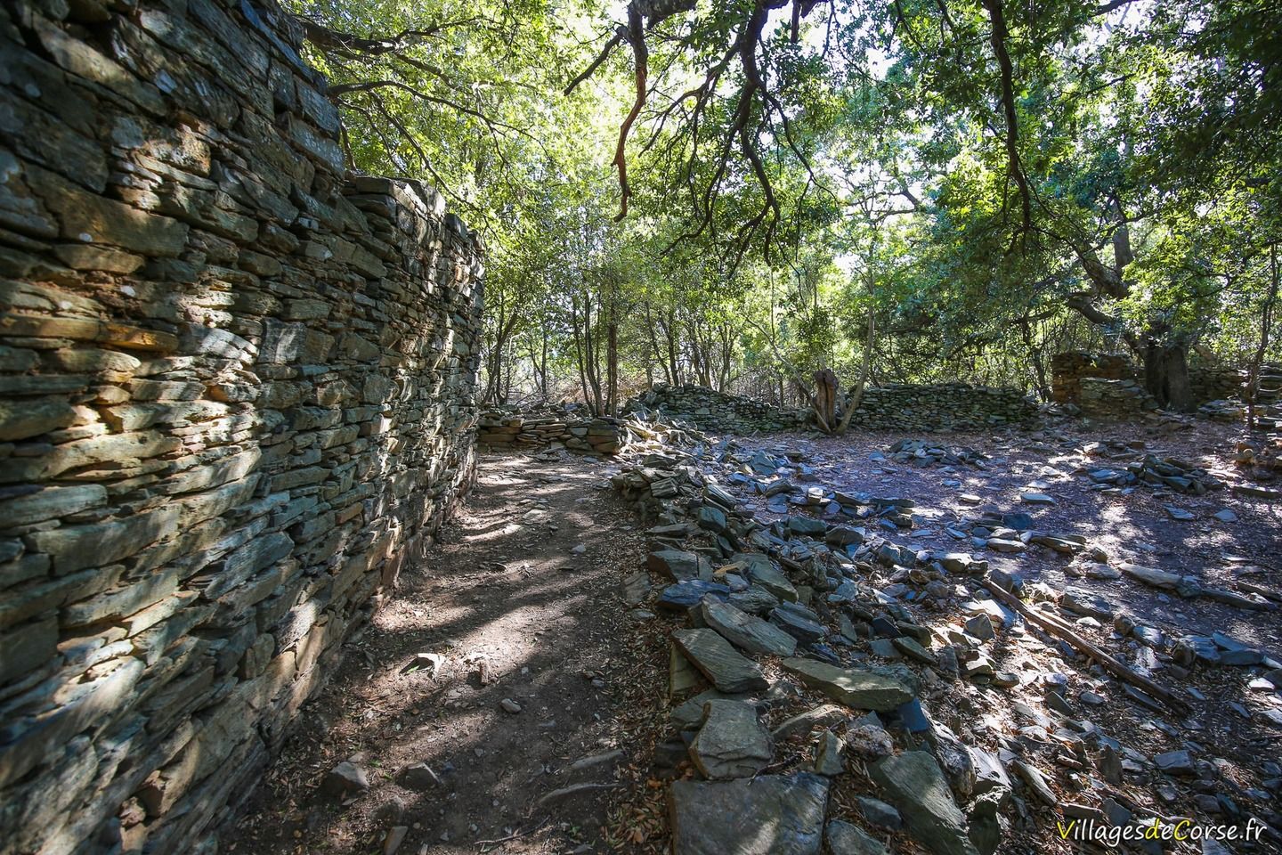
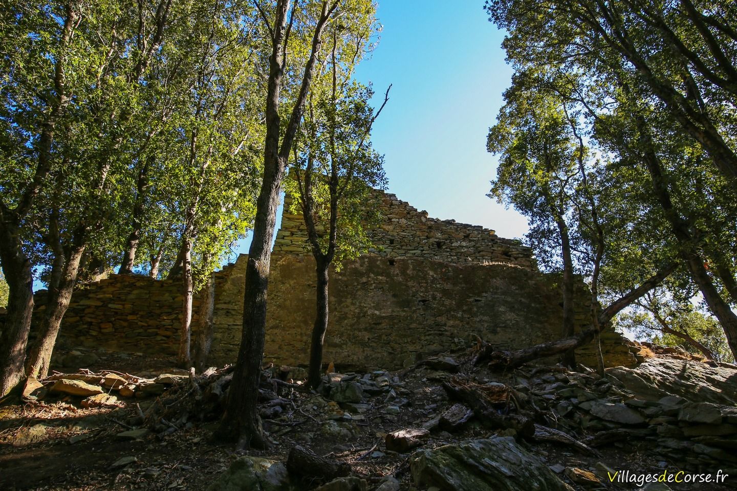
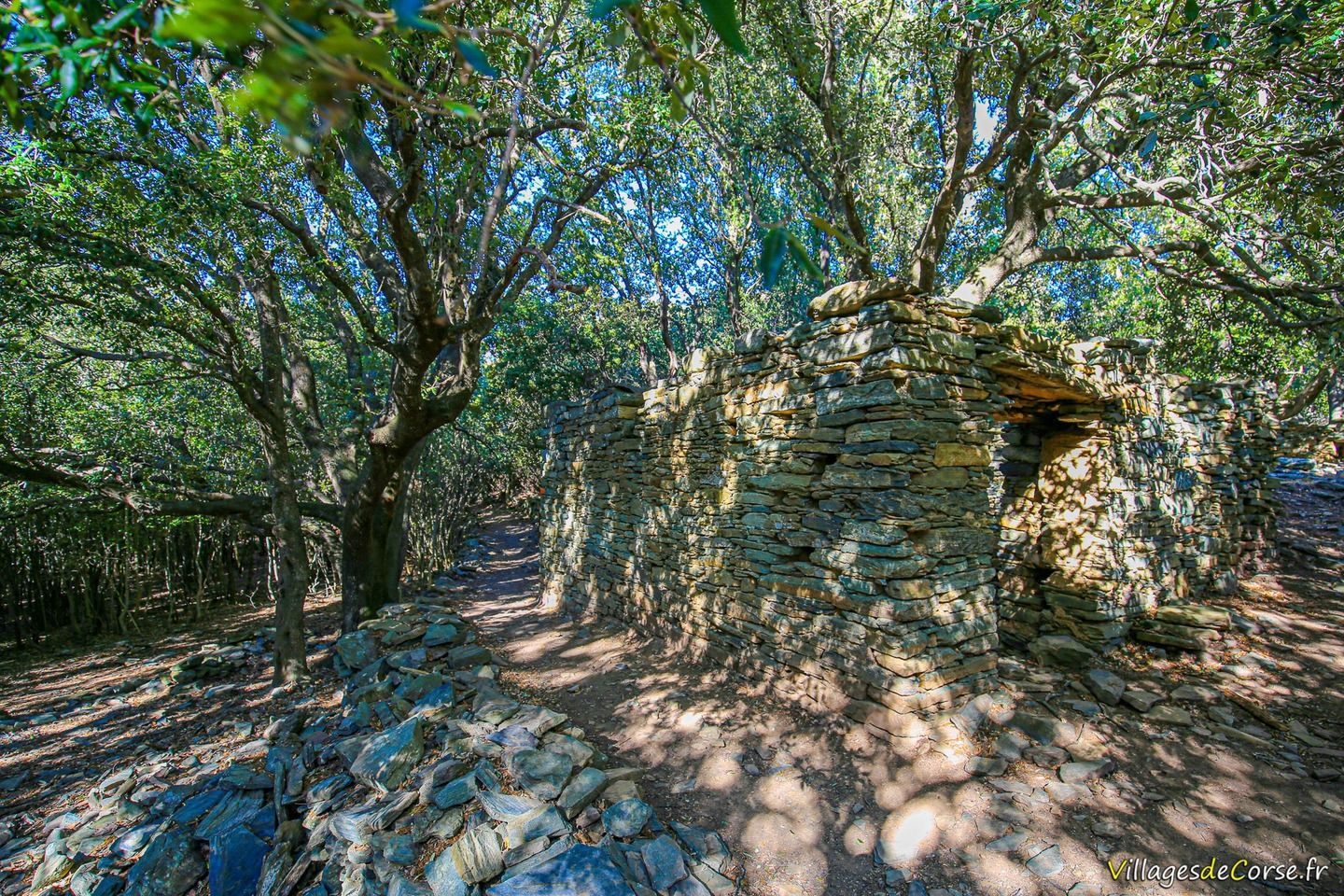
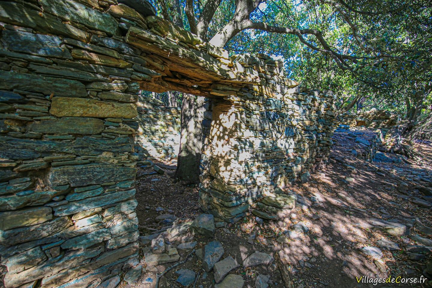
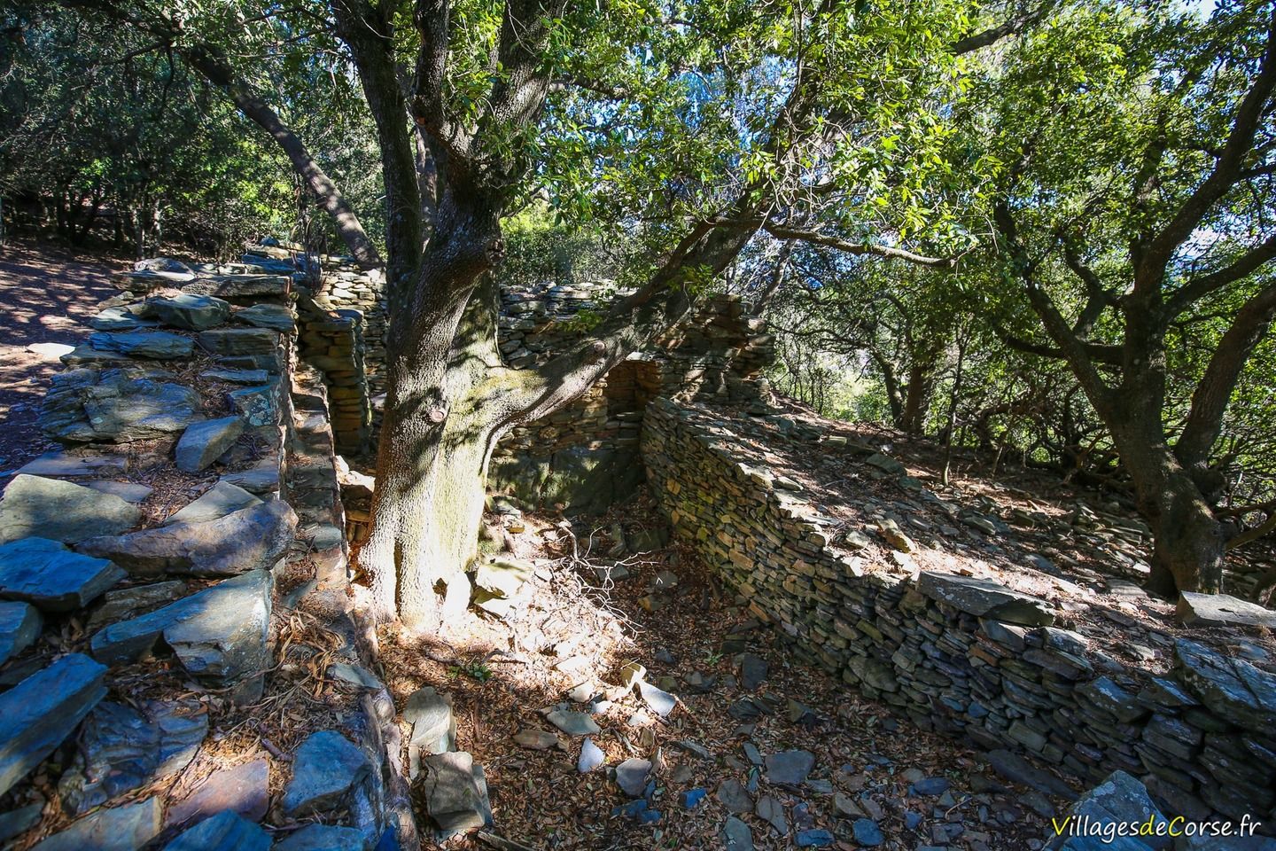
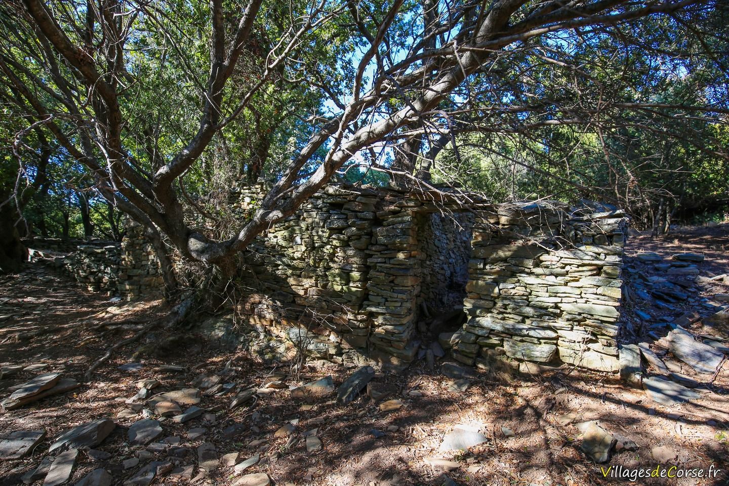
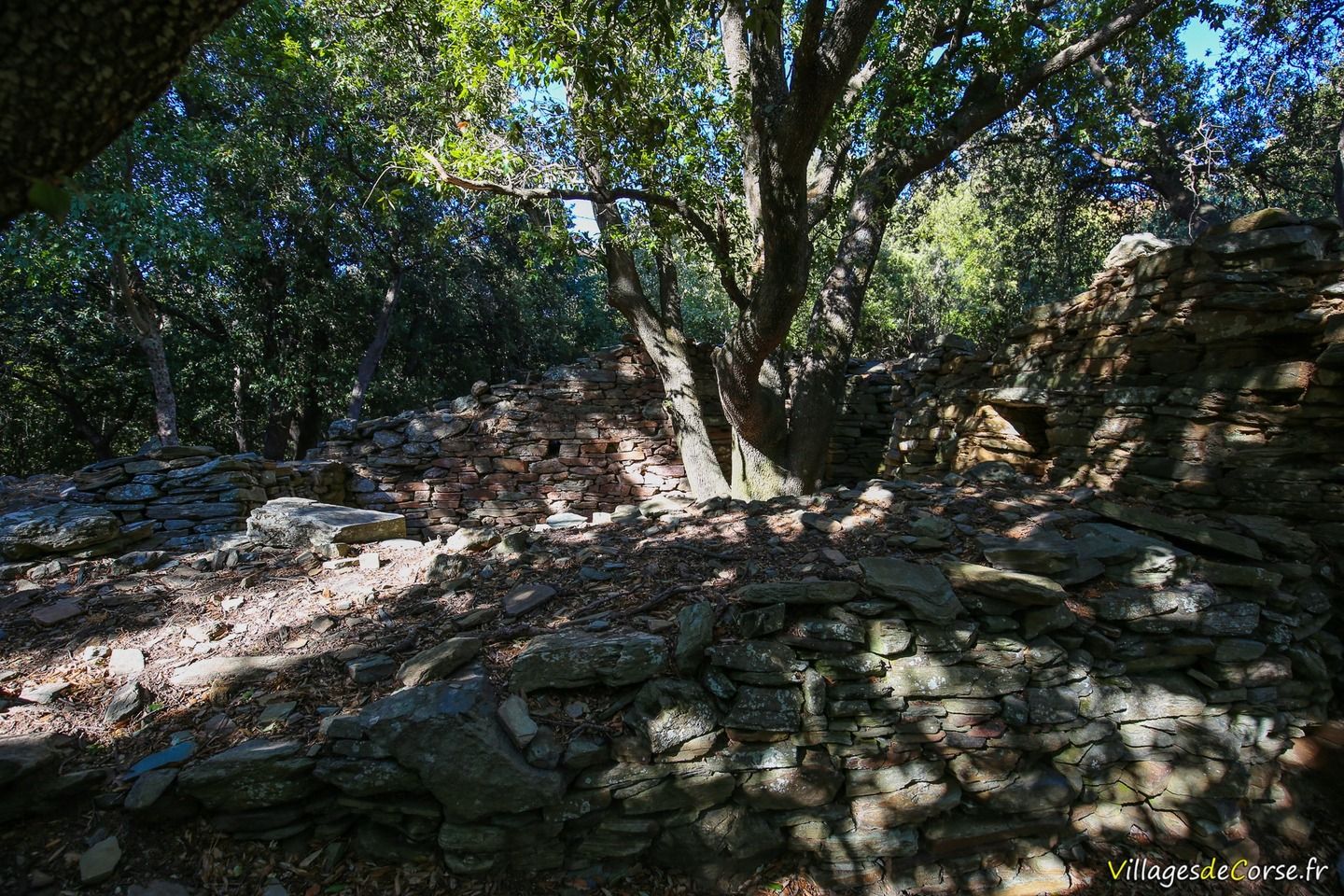
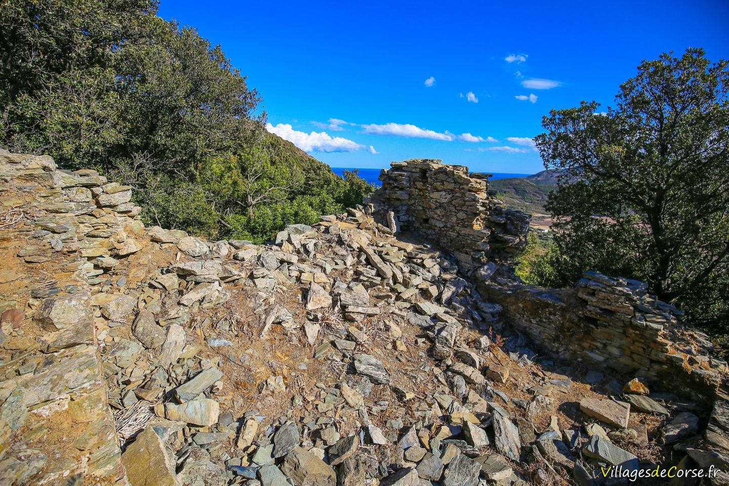
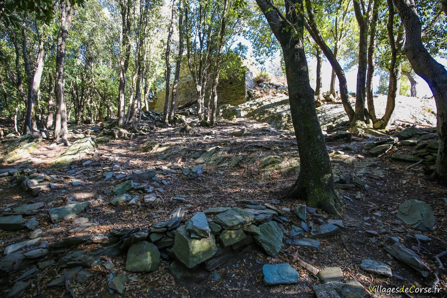
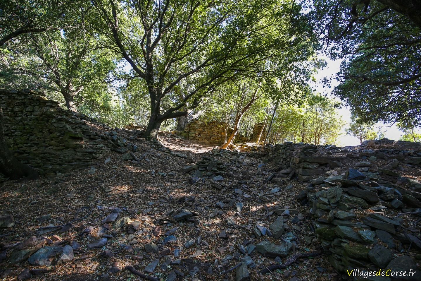
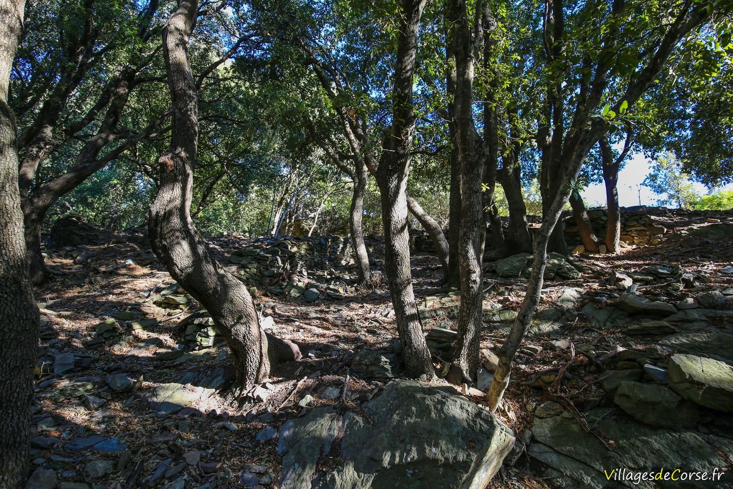
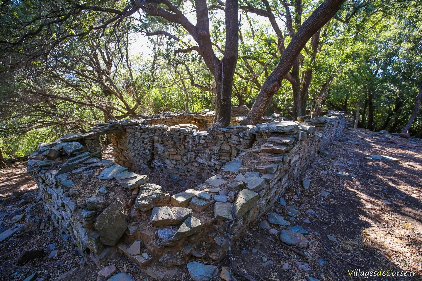
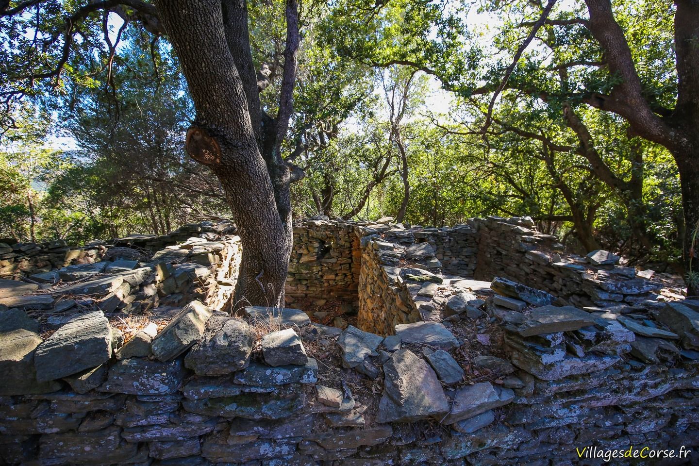
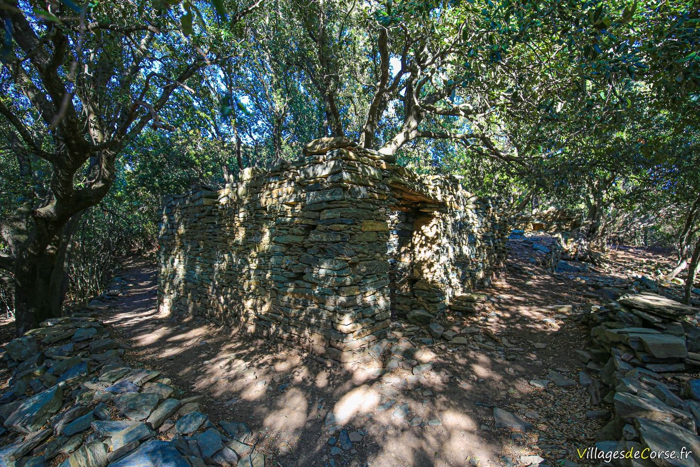
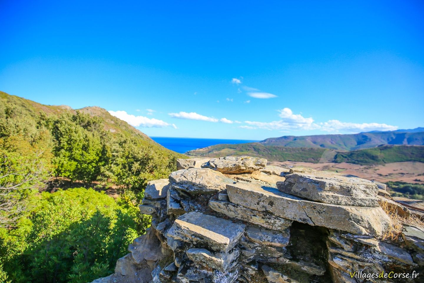
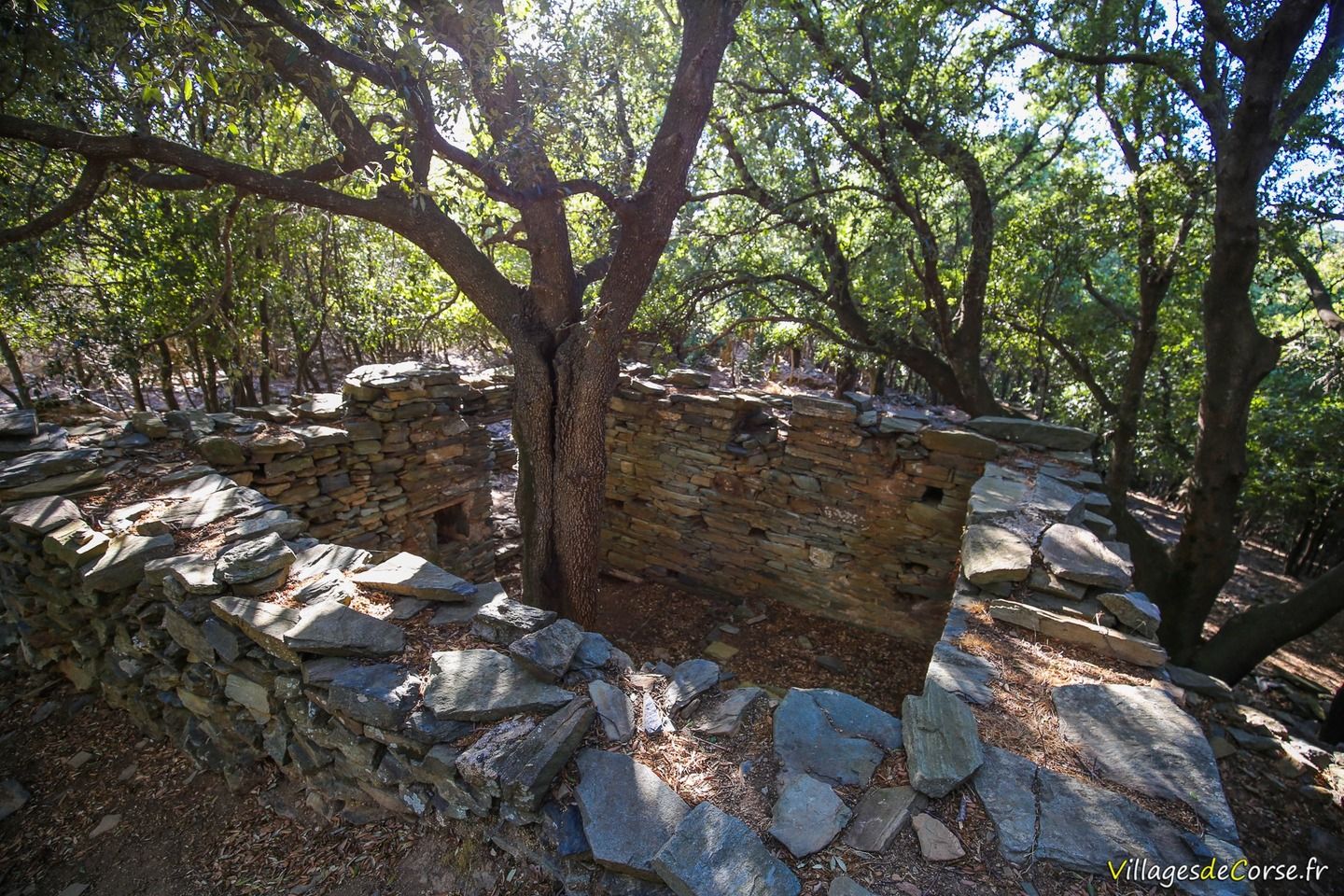
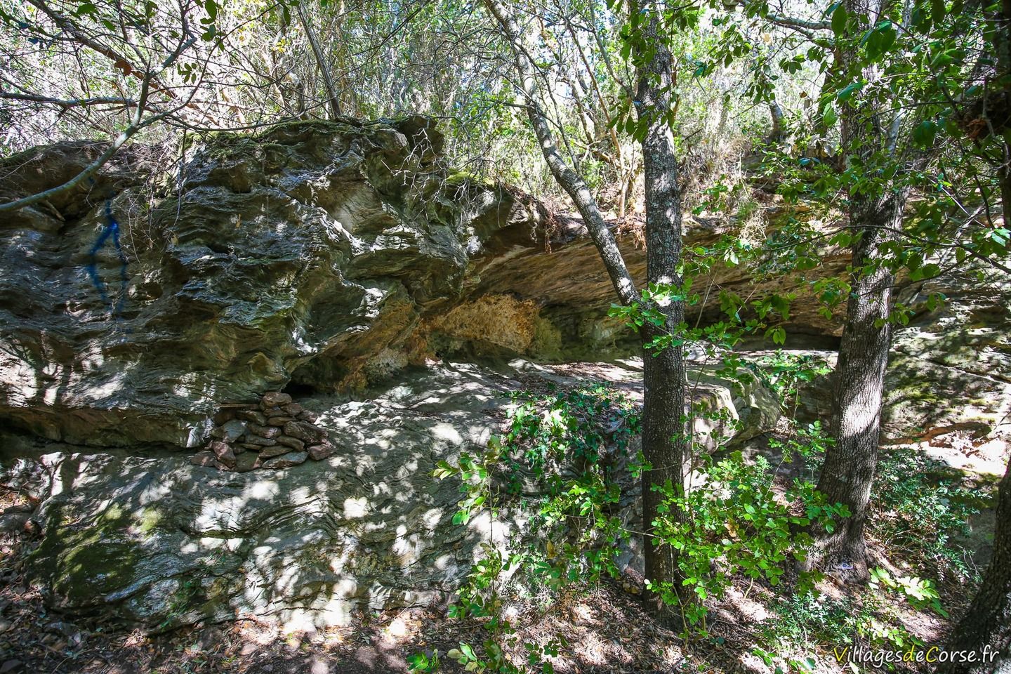
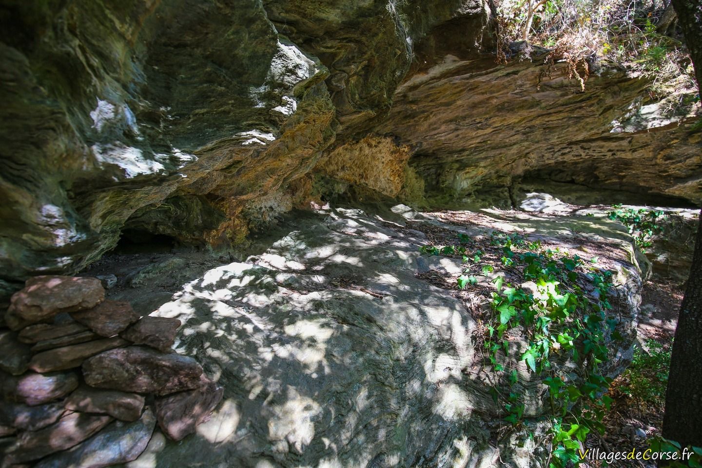
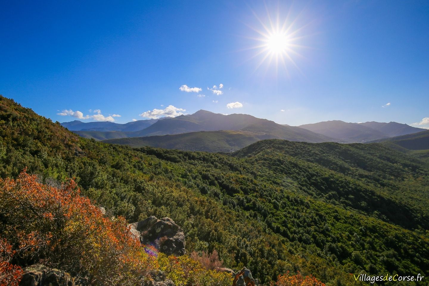
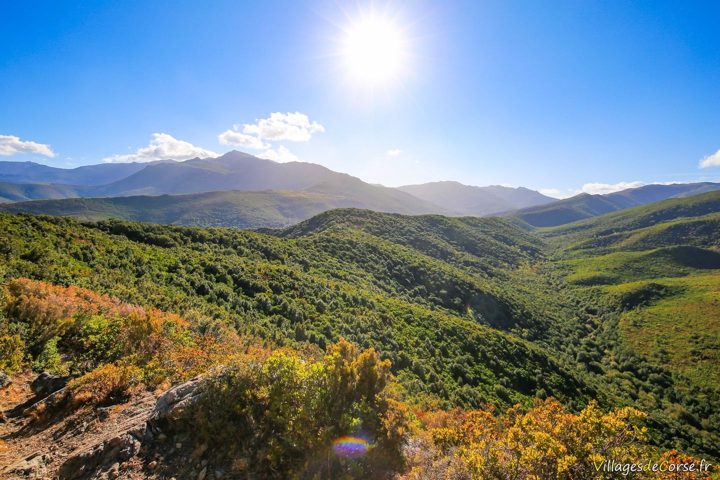
On the eastern slopes of Cap Corse, in the municipality of Luri, Mata is one of the region's ghost villages, estimated to have been deserted in the 18th century. The first thing you'll see is the remains of the Mata tower, which overlooks the sea from an open area, reflecting the defensive nature of this squared-off building.

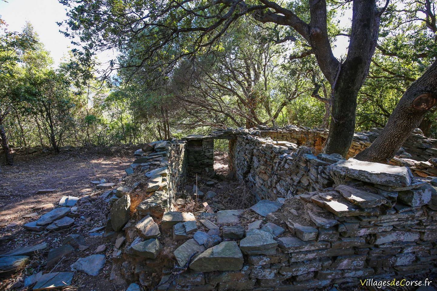
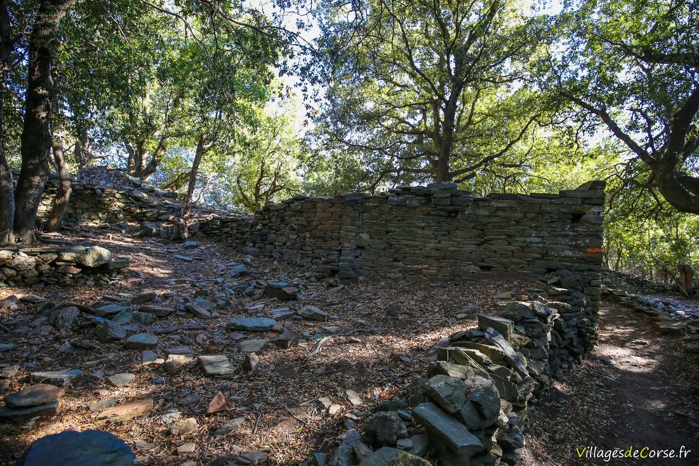
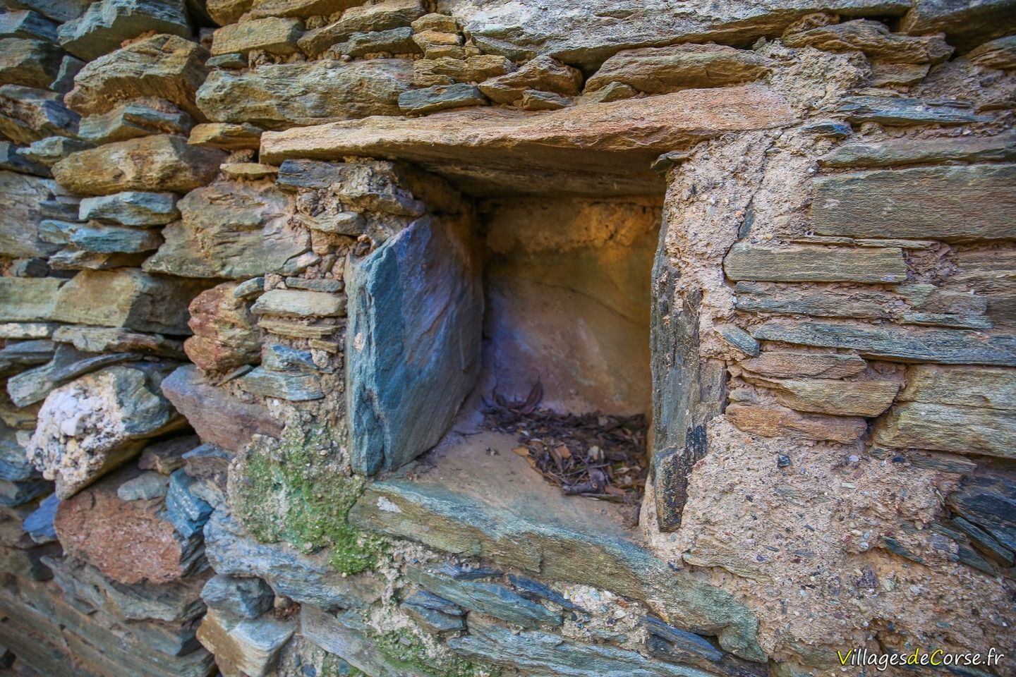
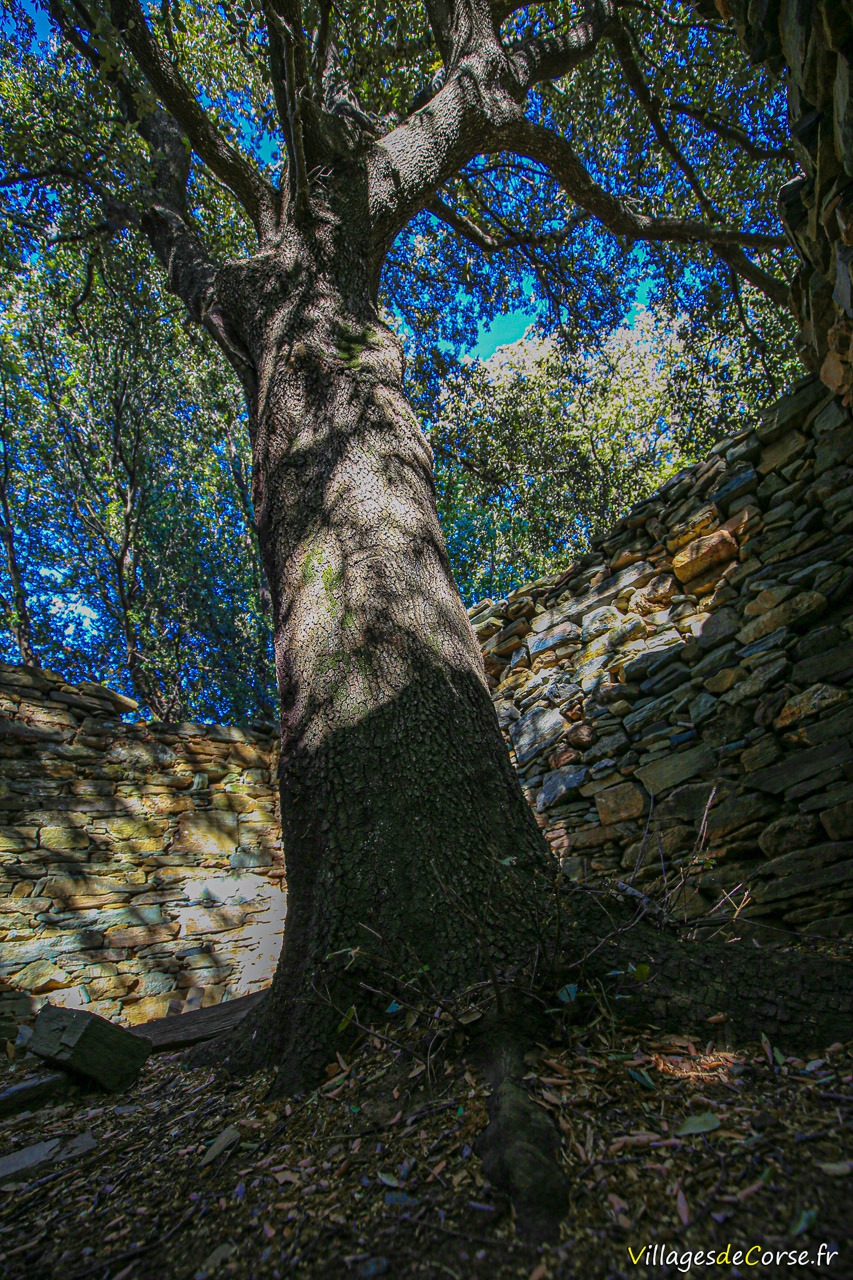
Below, as if hidden in the mountain, are around fifteen small stone buildings and walls in a more or less advanced state of disrepair. One of these houses now houses an imposing oak tree that is almost a century old. The seclusion of this ancient village was intended to protect it from barbarian raids, for which the tower overlooking the valley was used as a lookout.

Less than a kilometre away, there is a small spring that feeds the Mata fountain and was once a watering place for the villagers.

Note: A few kilometres away are other ancient villages such as Muraccie and Caracu in the neighbouring municipality of Meria.

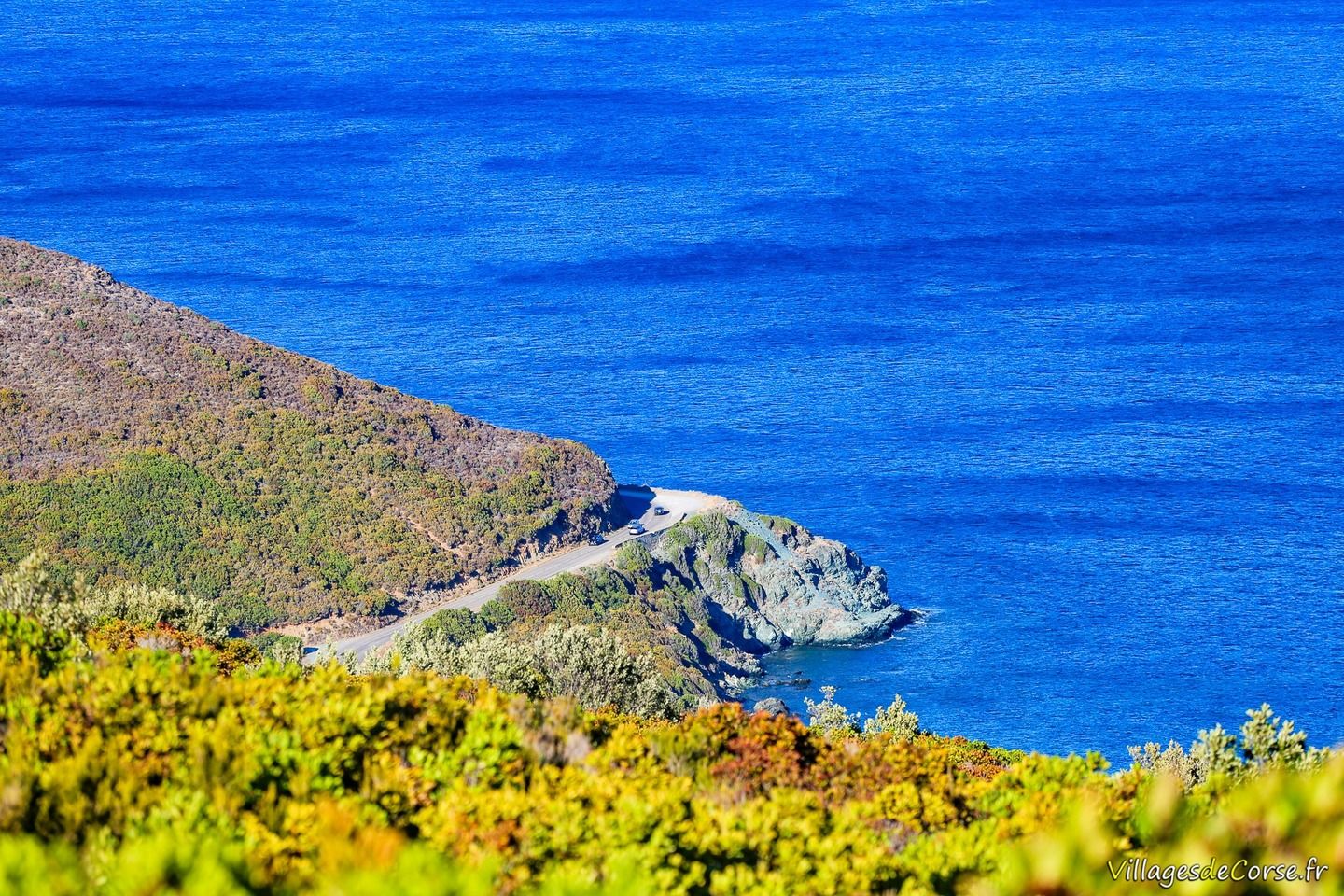
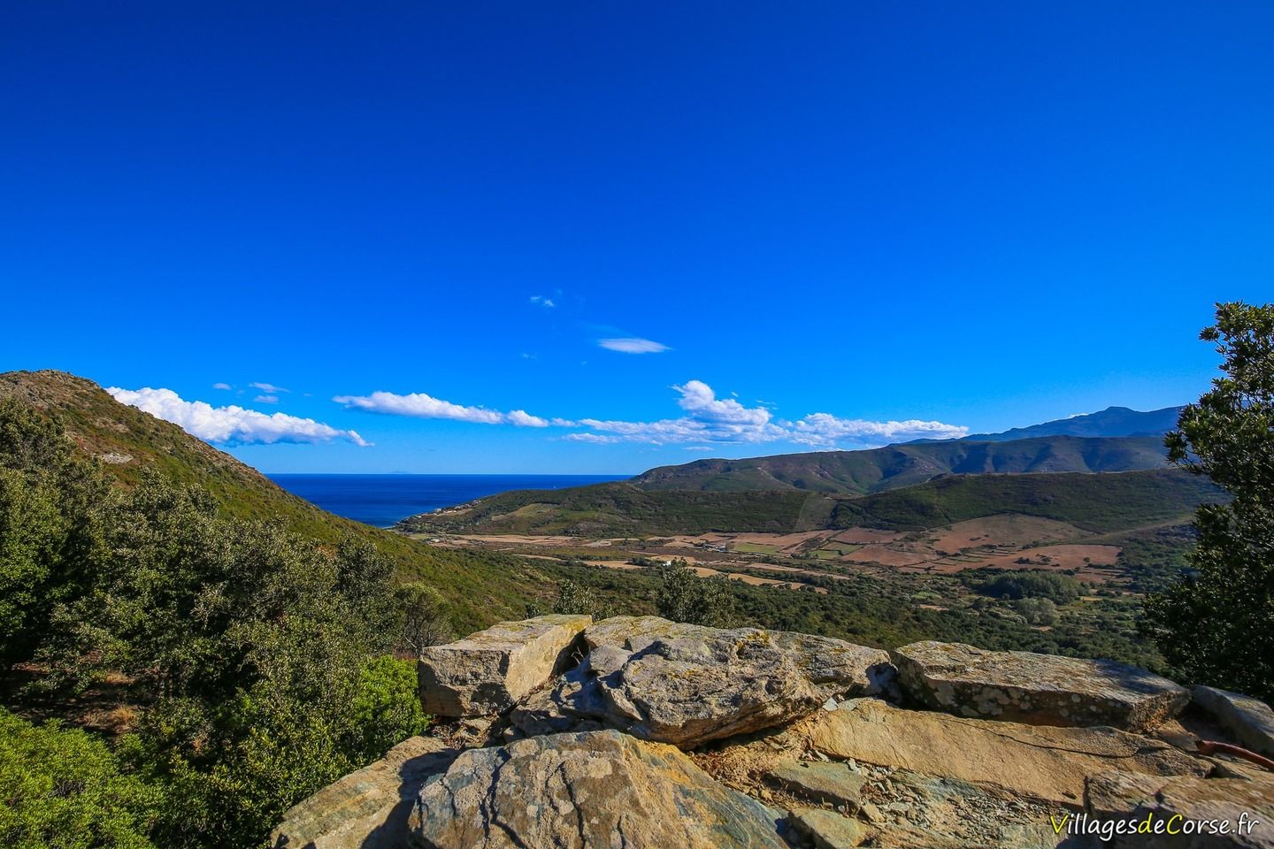
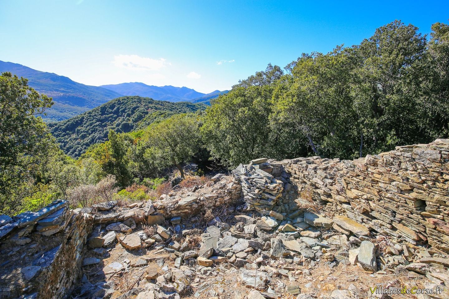
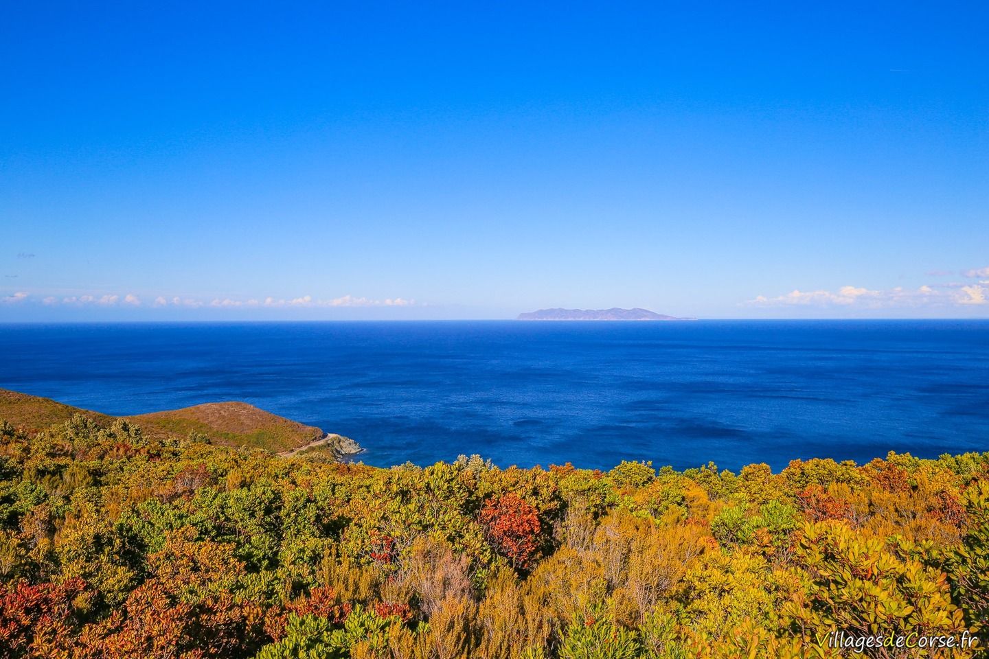
Sea views - Further information

Luri Cap Corse forest - 17/09/2016Route du Cap Corse - 17/09/2016Capraia Island from Cap Corse, Luri - 17/09/2016
Sea View - 17/09/2016Sea View - 17/09/2016Sea View, Luri - 17/09/2016Sea View, Luri - 17/09/2016Forêt Montagne Luri Cap Corse - 17/09/2016Forêt Montagne Luri Cap Corse - 17/09/2016Route du Cap Corse - 17/09/2016Route du Cap Corse - 17/09/2016Capraia island seen from Cap Corse, Luri - 17/09/2016Capraia Island from Cap Corse, Luri - 17/09/2016Capraia island seen from Cap Corse, Luri - 17/09/2016

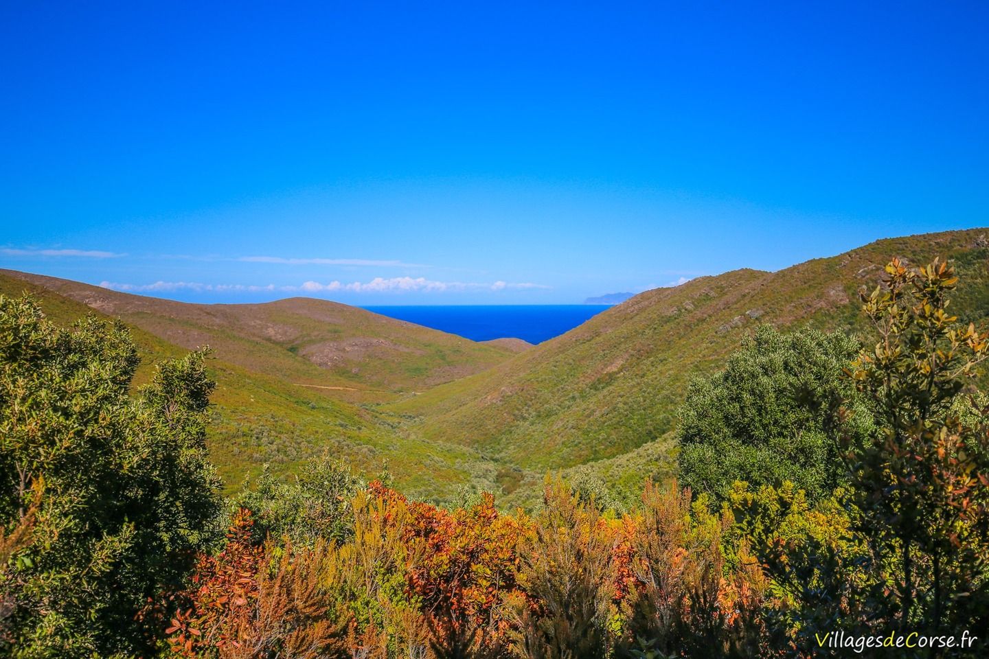
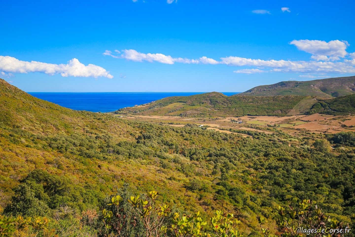
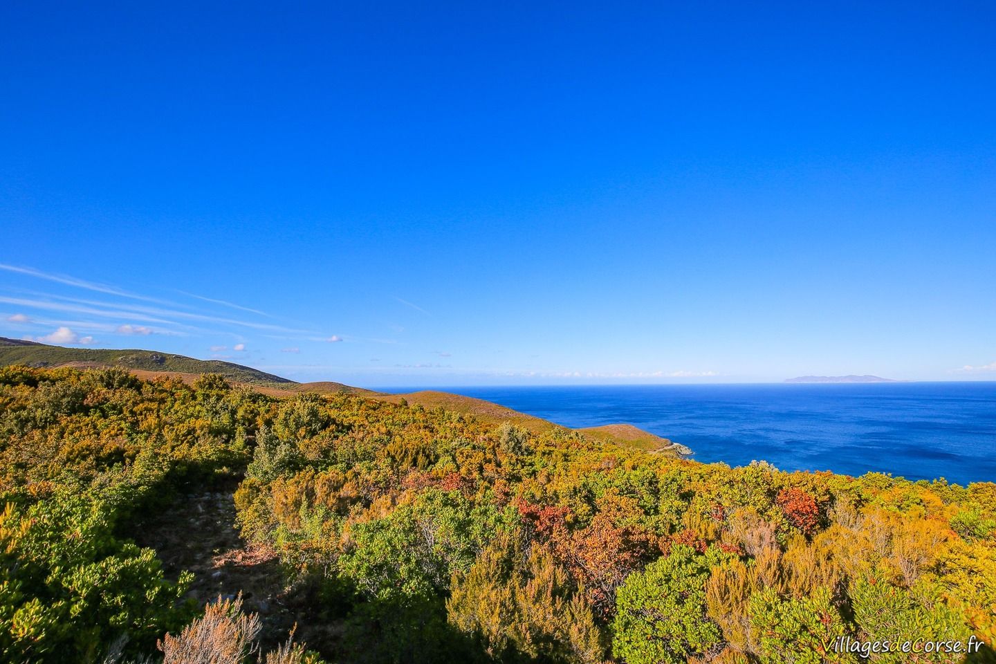
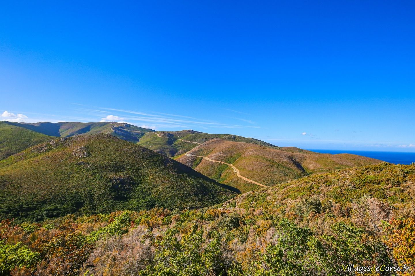
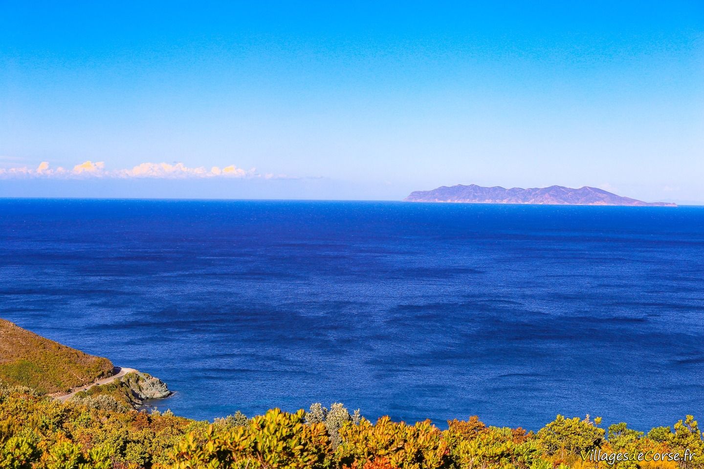
The walk can continue along the path that leads to the Mata fountain, with its uninterrupted view of the mountain, and then on to a completely different landscape, in the municipality of Meria.

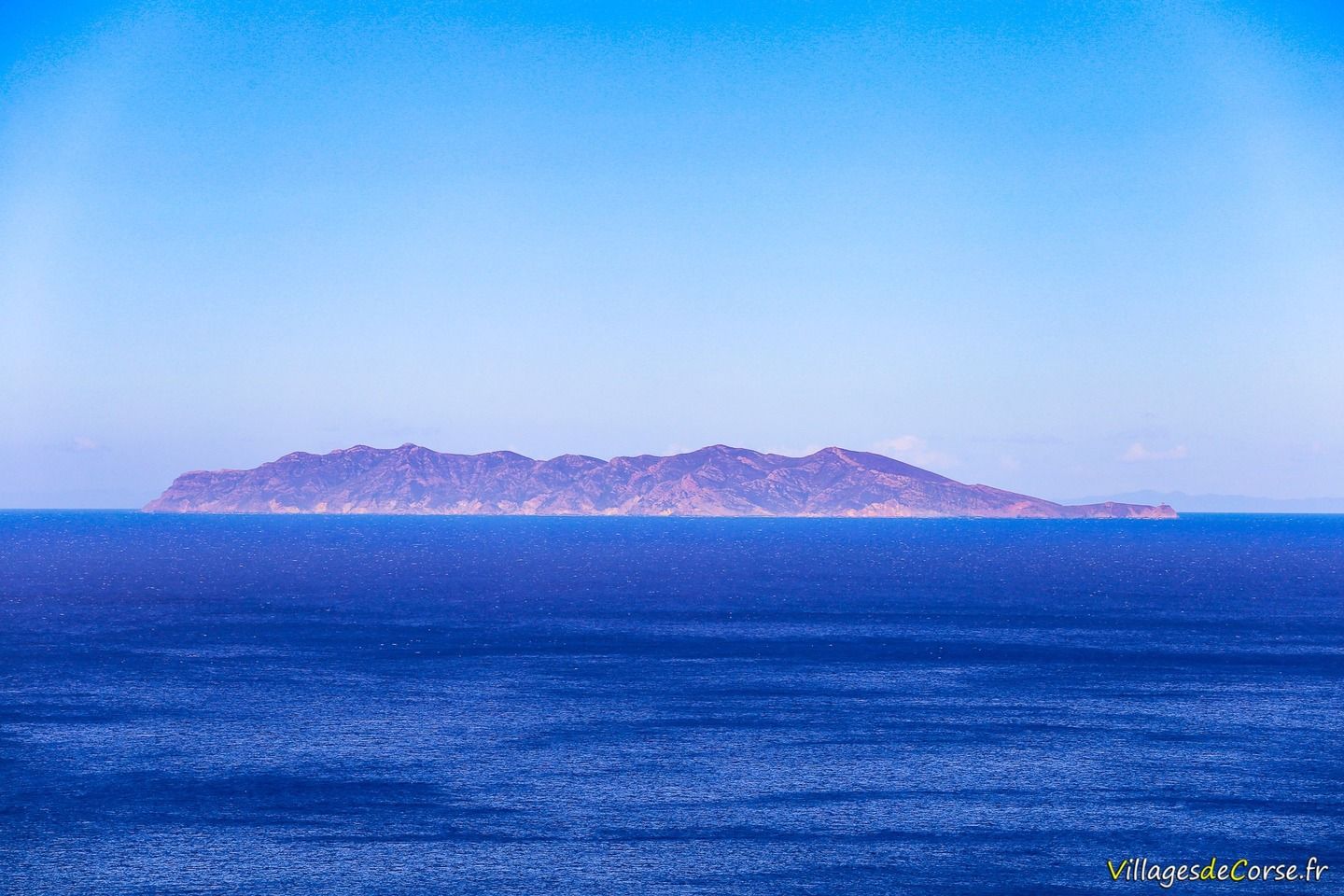
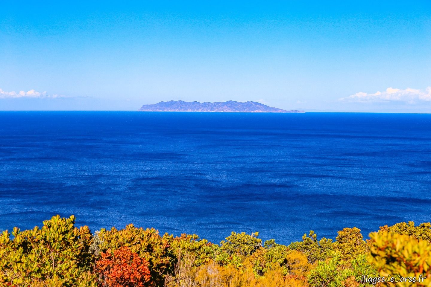
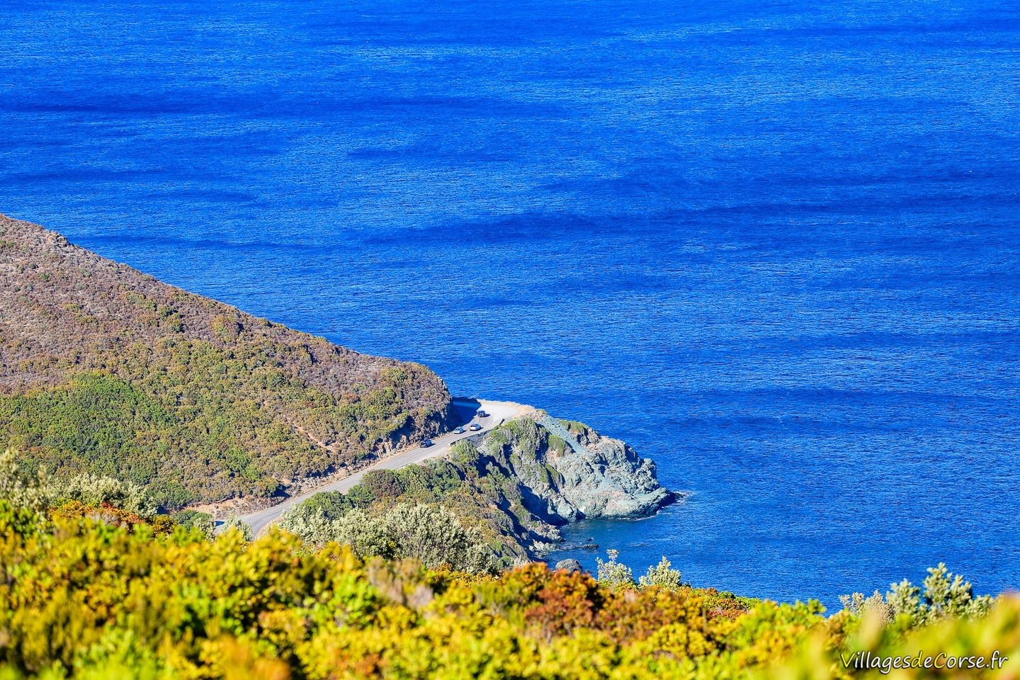
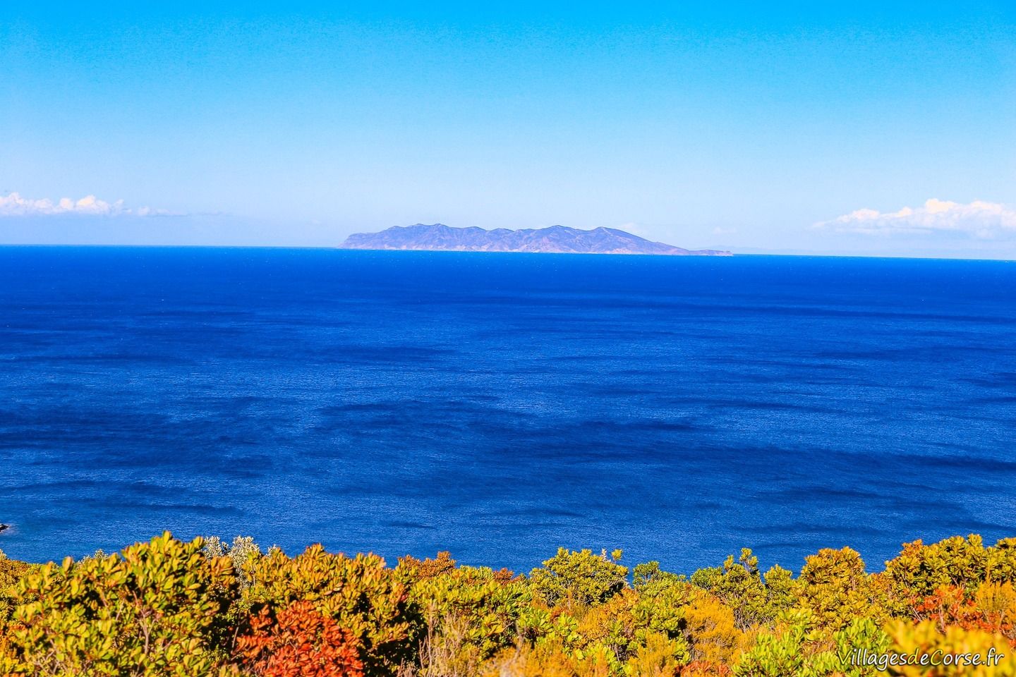
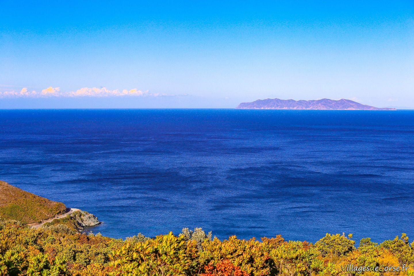
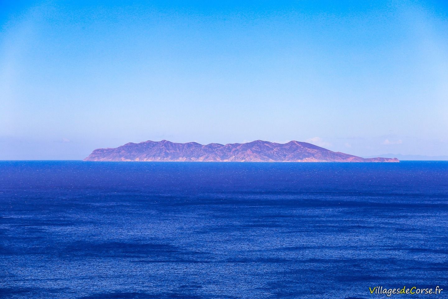
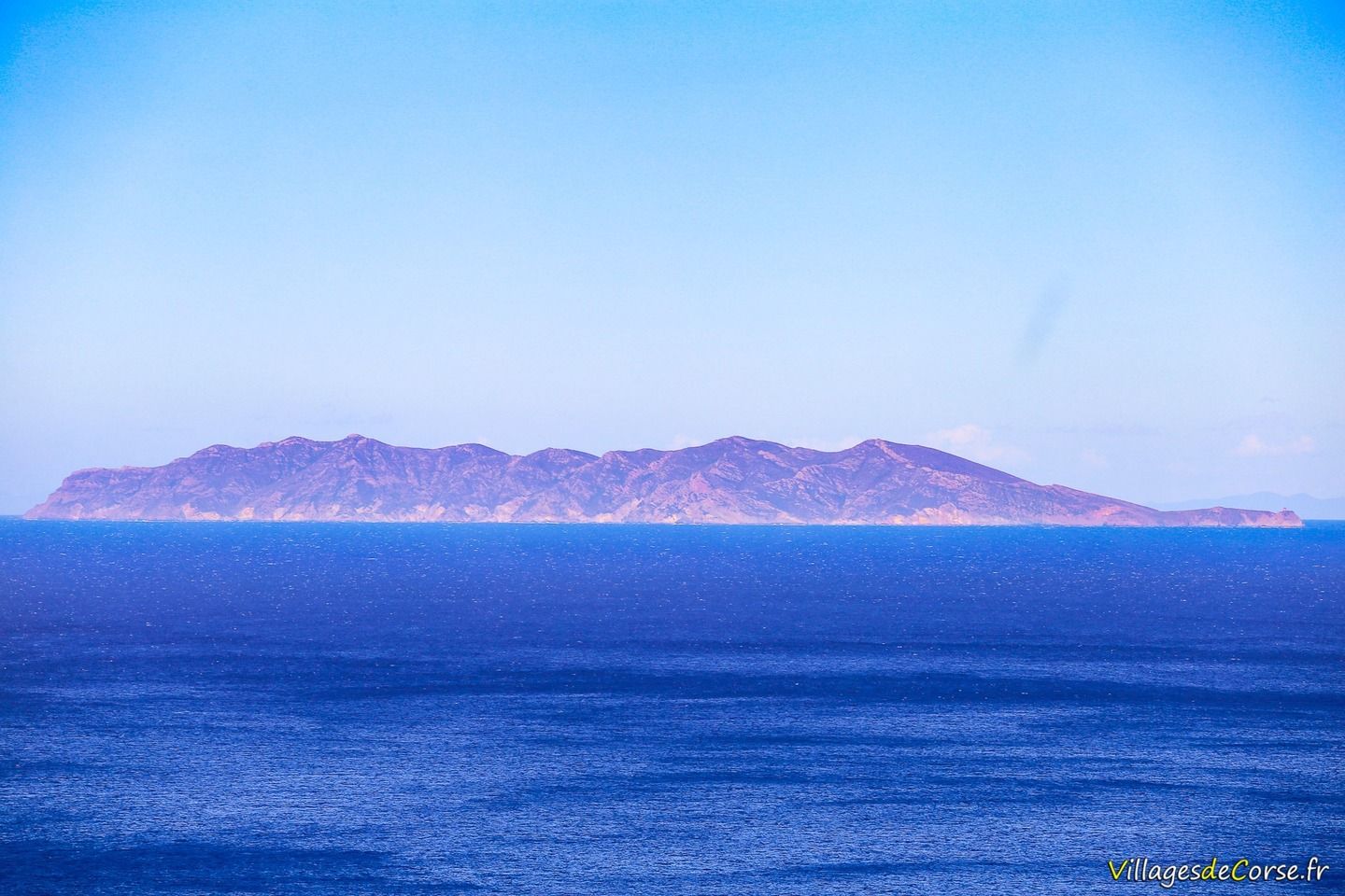
There's no need to retrace your steps, as you can loop back to Mata (a loop of around 1.5km), continuing as far as the sign for Aria Marina (keep right), which indicates the recent opening of a track with a view of the sea and the island of Capraia.

Chapel of San Salvadore and its bell tower

San Salvadore chapel in Luri, 17/09/2016San Salvadore bell tower in Luri, 17/09/2016San Salvadore bell tower in Luri, 17/09/2016
San Salvadore bell tower in Luri, 17/09/2016San Salvadore chapel in Luri, 17/09/2016

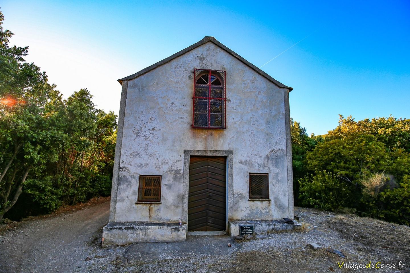
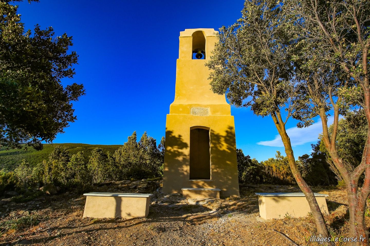
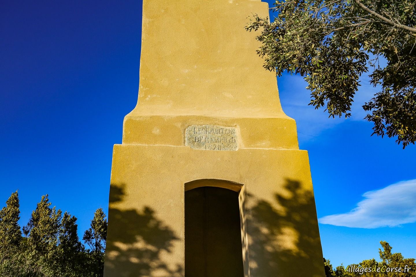
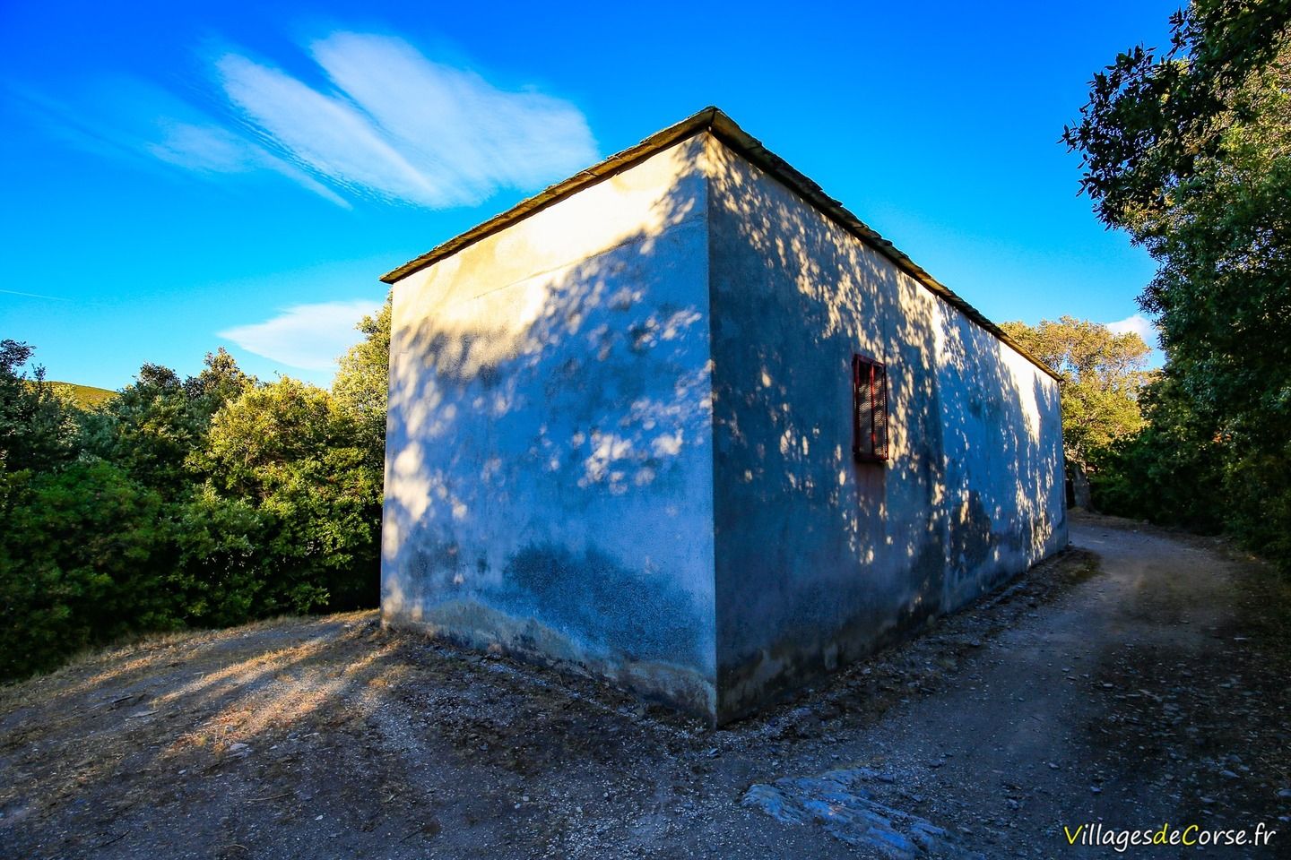
On the way back or on the way out, depending on the direction of the loop, stand the isolated chapel of San Salvadore and its bell tower, around a hundred metres apart. The bell tower has been renovated and plastered by a village association.

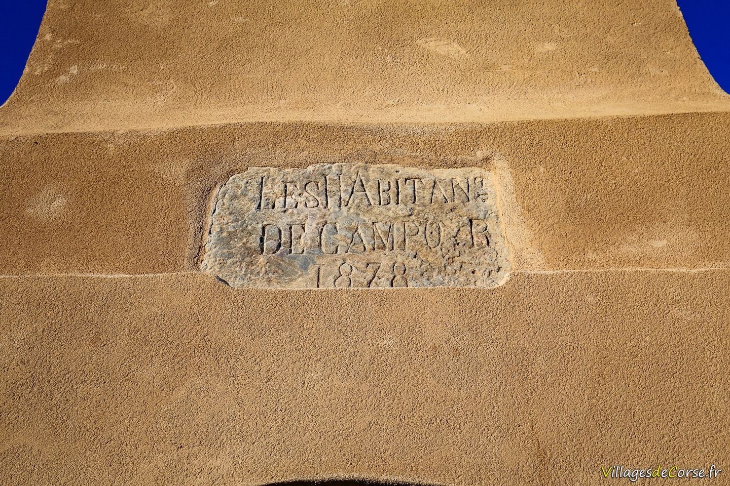
A commemorative mural dated 1878 reads: "The inhabitants of Campu".

Carte IGN et dénivelé - Mata

Cartes générées par VisoRando.com

Others hikes in the region