Hiking to Pont d'Alisu in Zalana
A hike in the heart of nature, between mountain and forest, with the freshness of the Bravona river flowing under the Alisu bridge, marking the lowest point of the route. The finish at the Croix de Cicinelli offers a lovely slide show with views over the valley and mountain peaks.
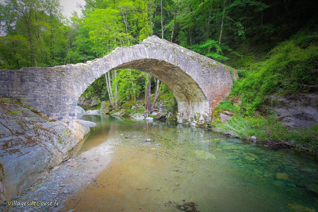
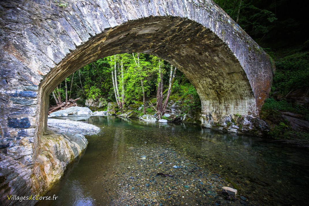
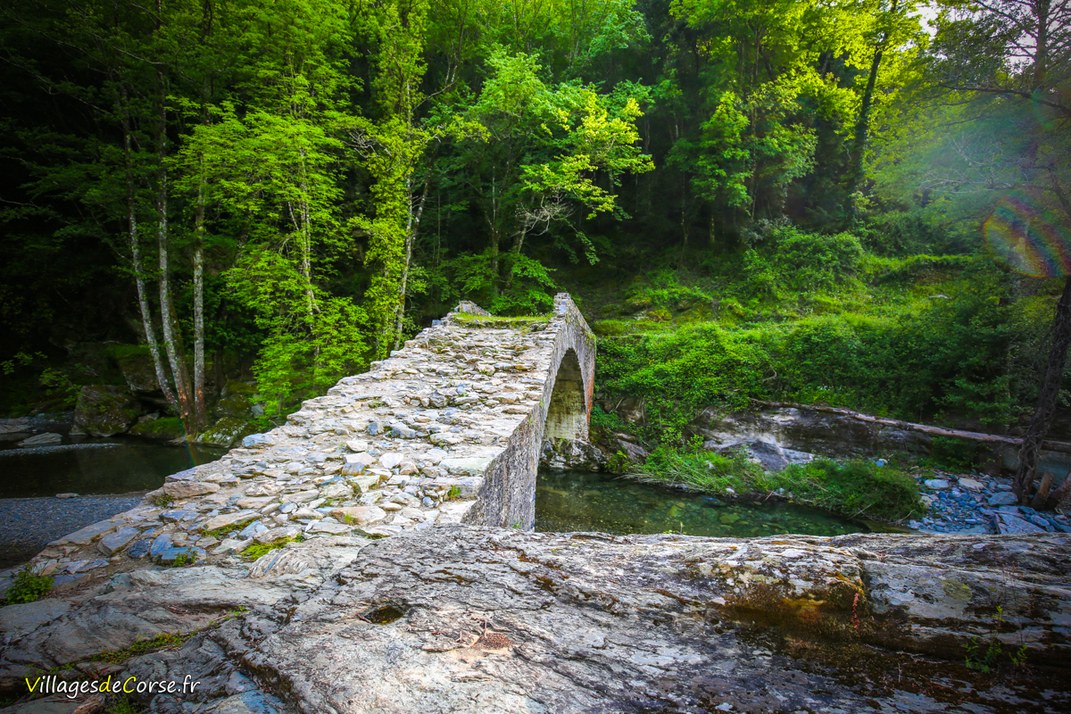
Alisu Genoa Bridge
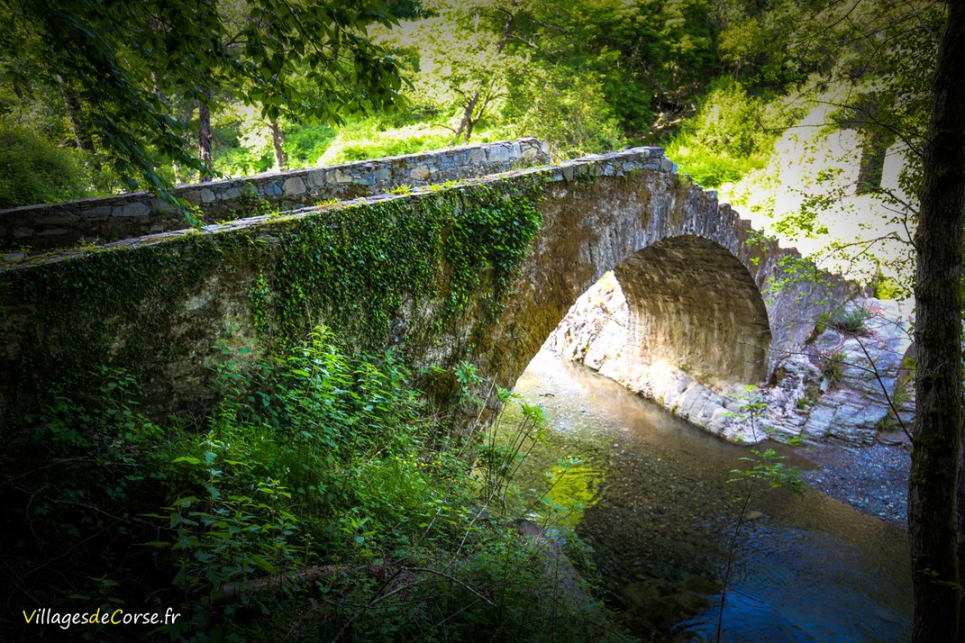
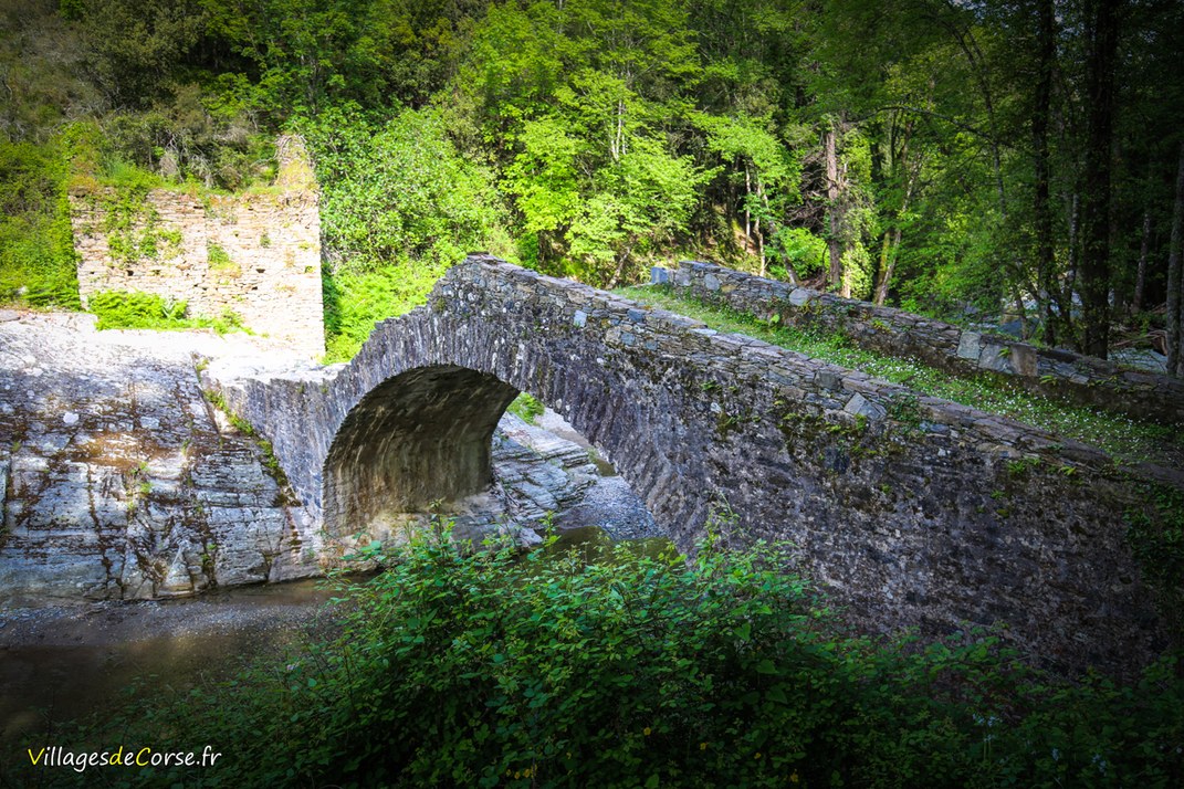
The Pont de l'Alisu - Ponte d'Alisu - is a Genoese bridge built in the 16th century to allow the Bravona river to be crossed. It is located in the municipality of Zalana, on the northern border with the municipality of Matra in the Oriente region.
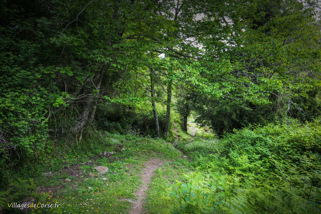
Departure from the hamlet of Costarella
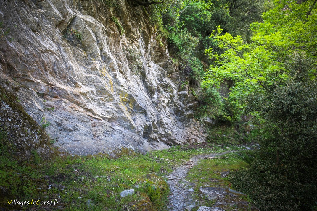
The path is well-maintained and signposted, and starts at the hamlet of Costarella. A wooden sign and a Town Hall sign mark the path, at the start of which you should see an electricity pylon on your right.
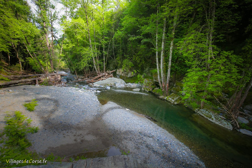
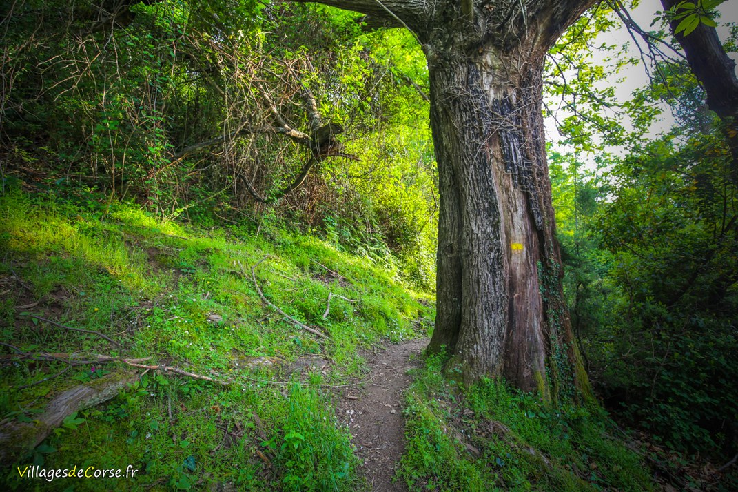
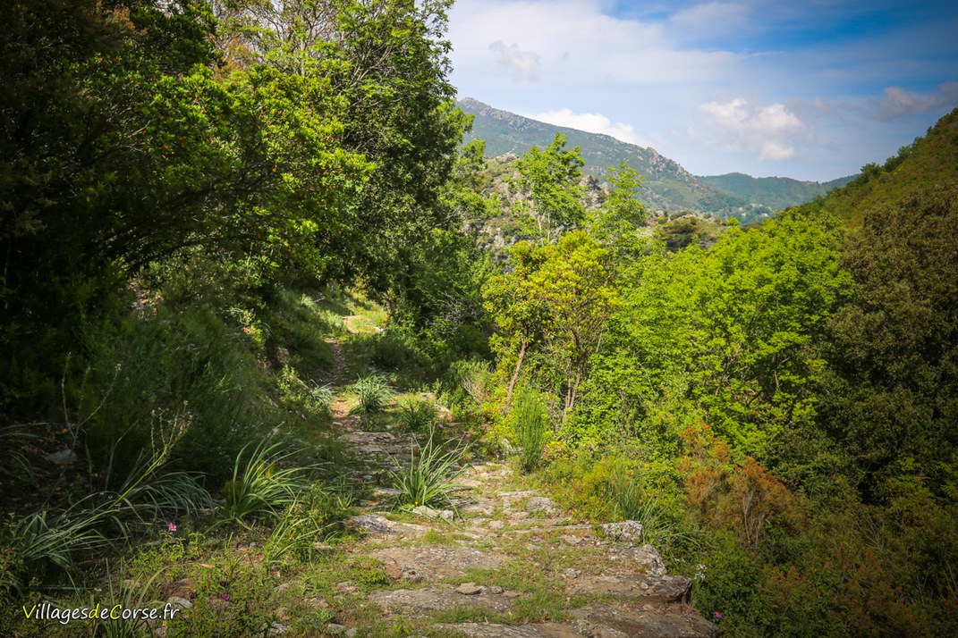
On several occasions you will come across the Roticelle stream, which flows into the Bravona. The vegetation is rich with many plants and shrubs typical of the island (ferns, Montpelier rockrose, brambles, heather), as well as wild strawberries, which attract bees, bumblebees, ladybirds and other insects. There are also a few chestnut, oak and arbutus trees.
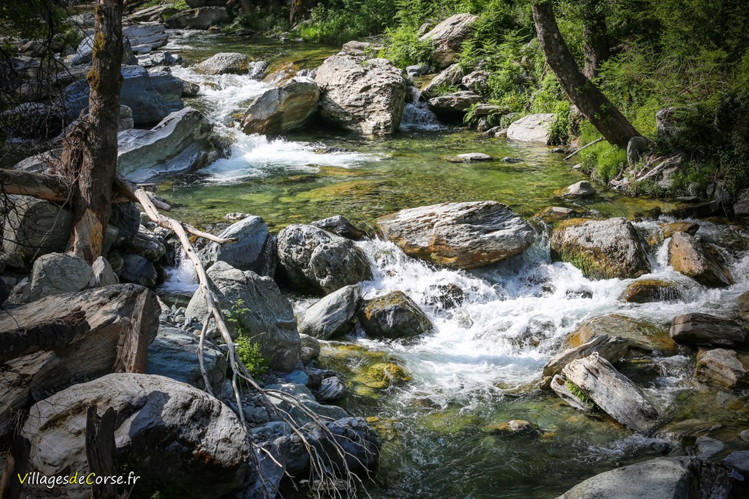
The Bravona river
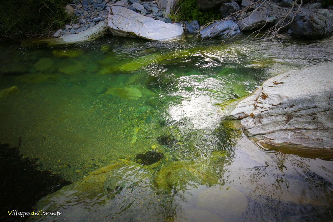
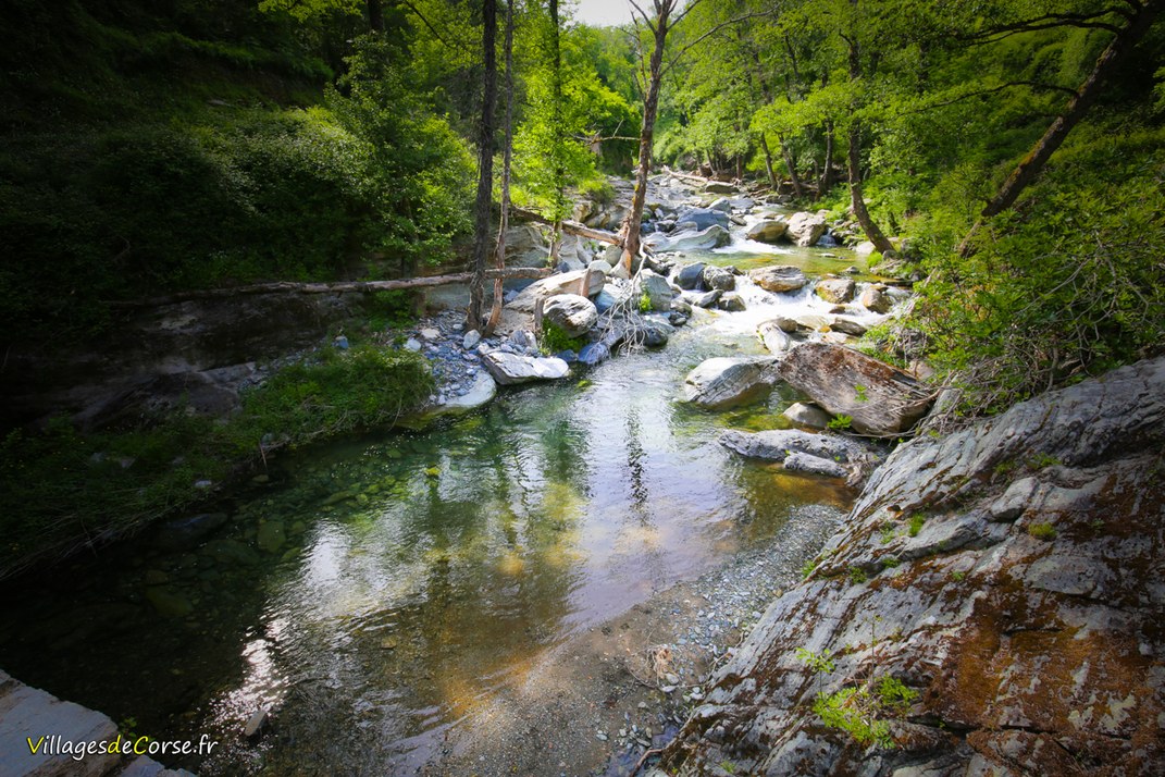
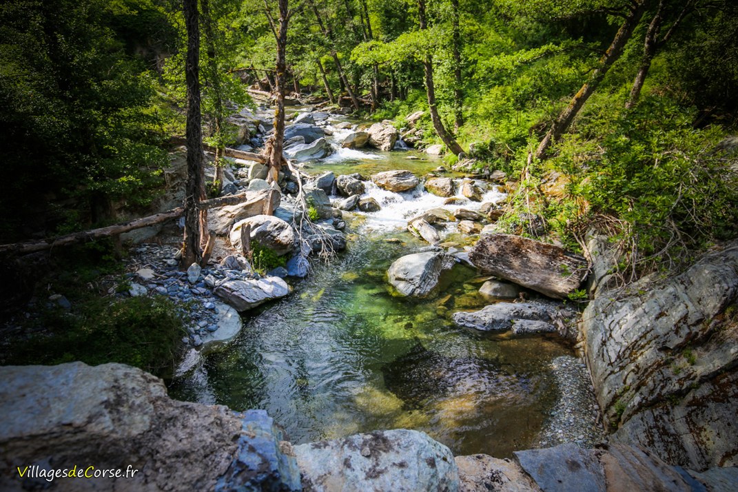
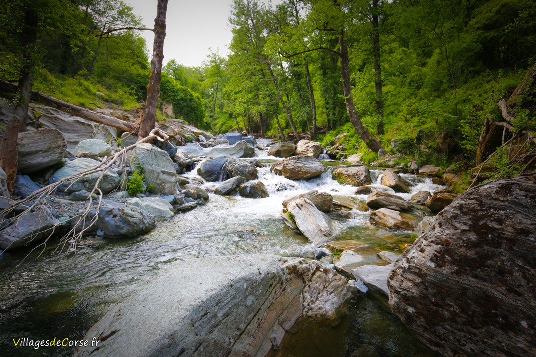
The Alisu bridge spans the Bravona river, which flows for around ten metres. Several large boulders lie along the river's course.
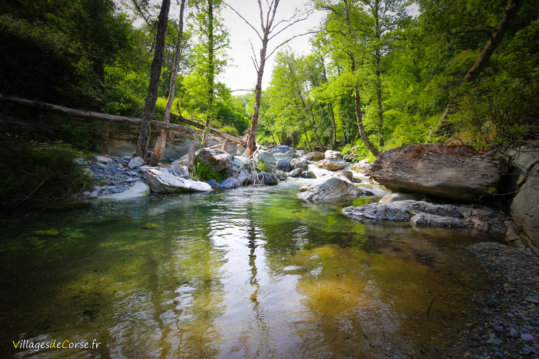
Near the bridge, there is a small sandy beach where you can take a dip, although it is not very deep, according to the local recommendations.
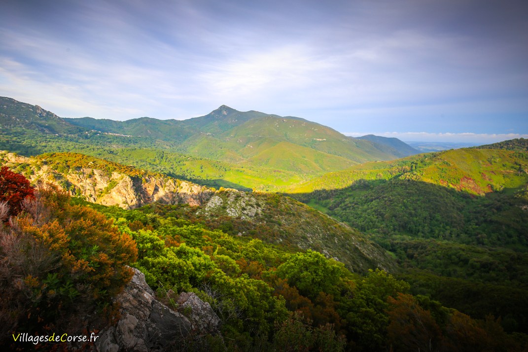
View of the valley
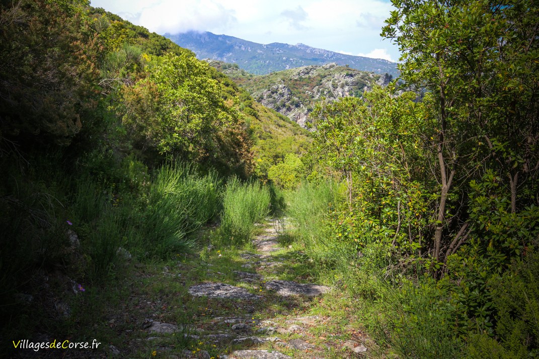
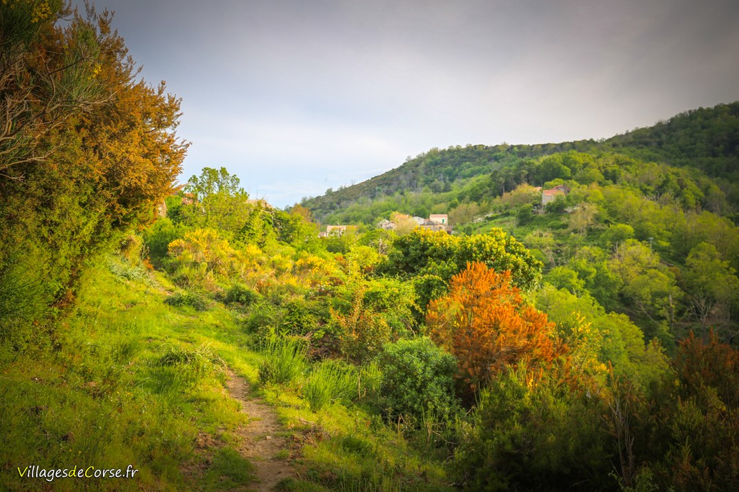
After crossing the river, the path climbs back up until you reach the Cicinelli cross on the edge of the D16 road in the commune of Matra in a relatively short distance (around 1 km), from where you can dominate the valley and its peaks. A sign also indicates the hiking trail, which can be taken in either direction.
The return
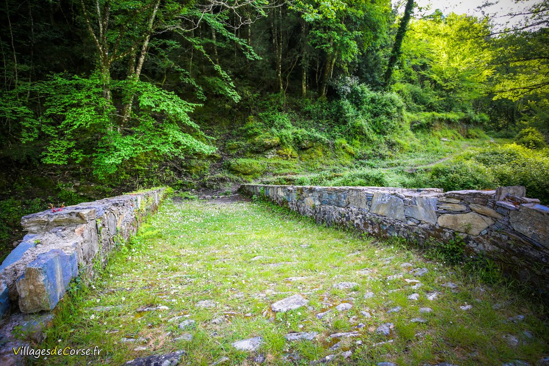
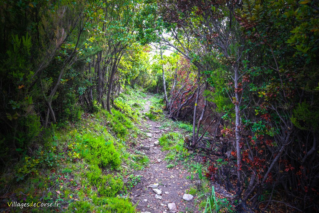
The return journey follows the same route as the outward journey, crossing the Alisu bridge again and gradually climbing back up to Zalana until you see two paths that separate, indicated by a double arrow. Turn right and follow the same route as on the outward journey. If you turn left, you will cross the Roticelle stream and climb back up to the top of the village, offering a clearer view and a different setting.