- Hiking
- Castagniccia
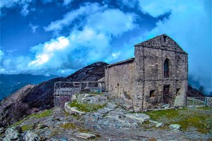
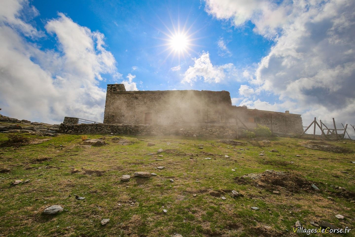
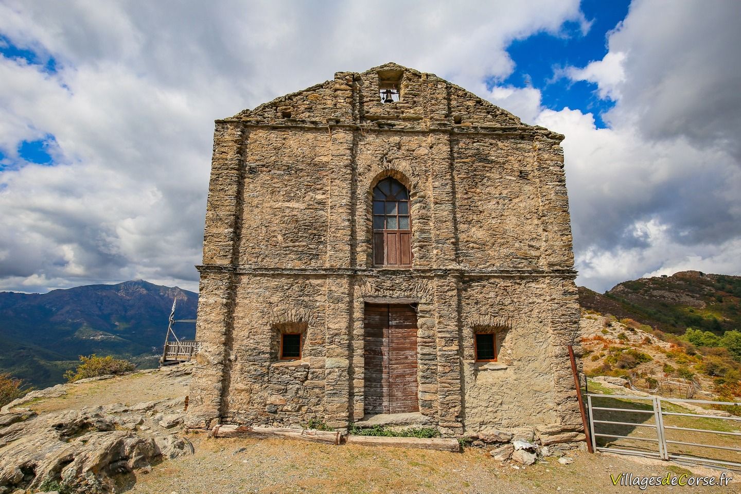
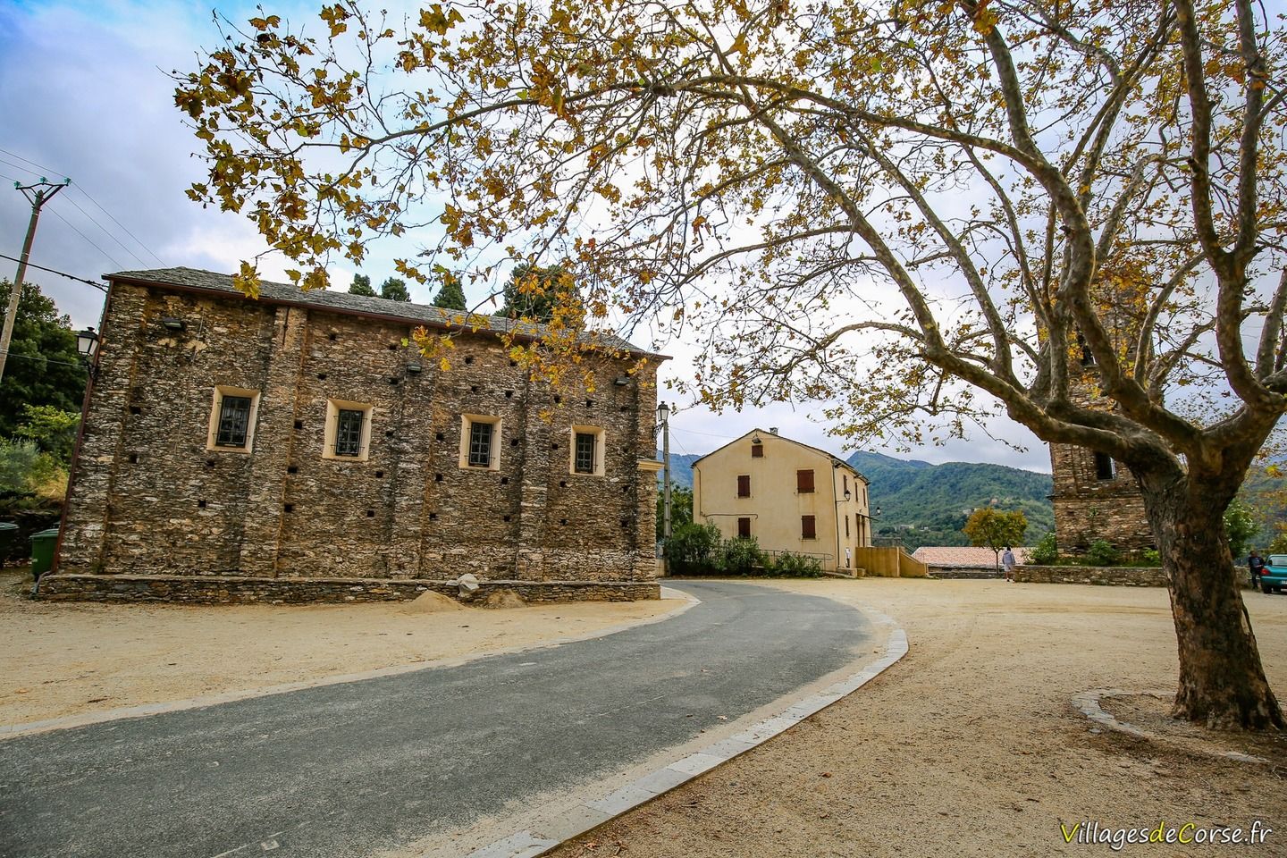
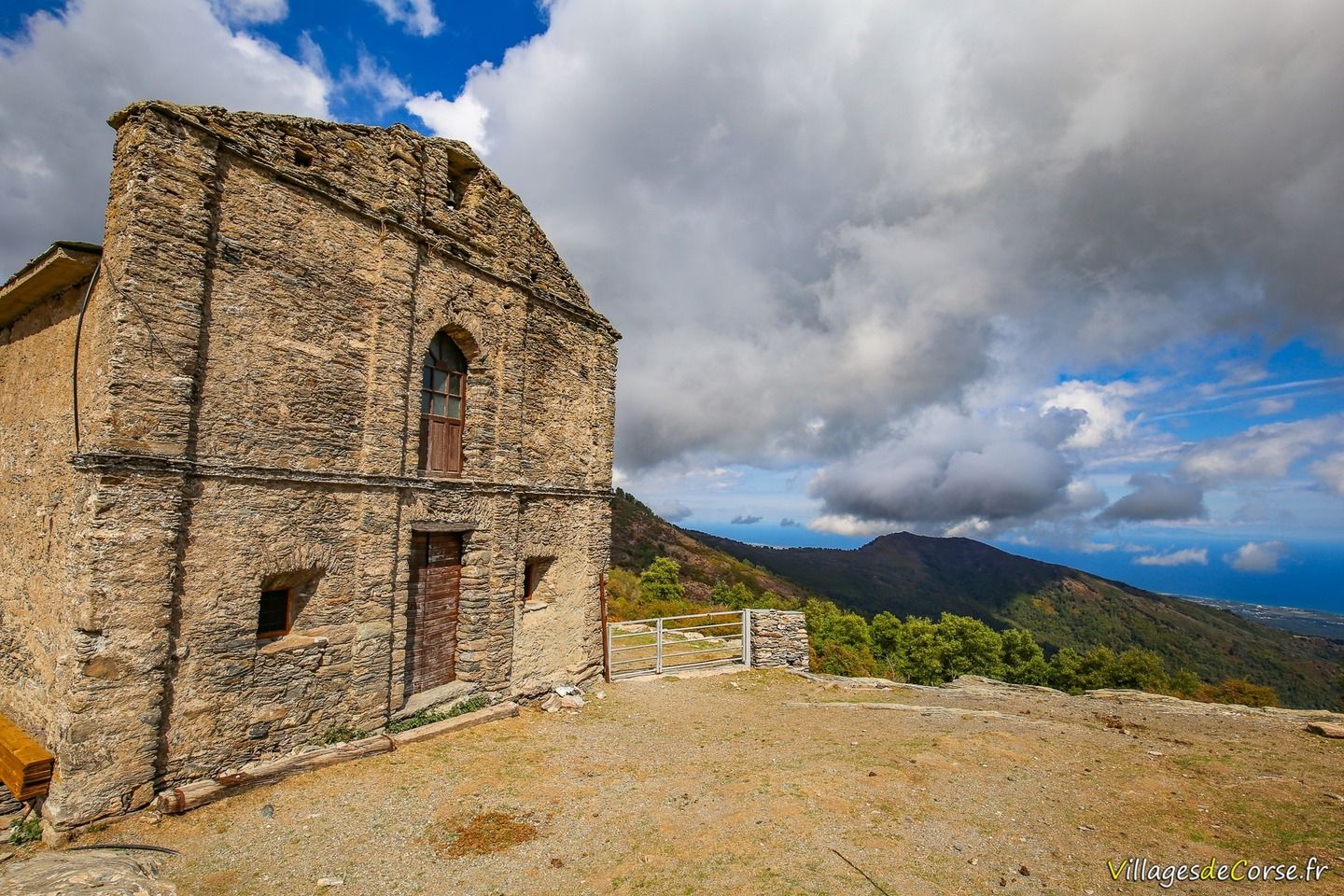
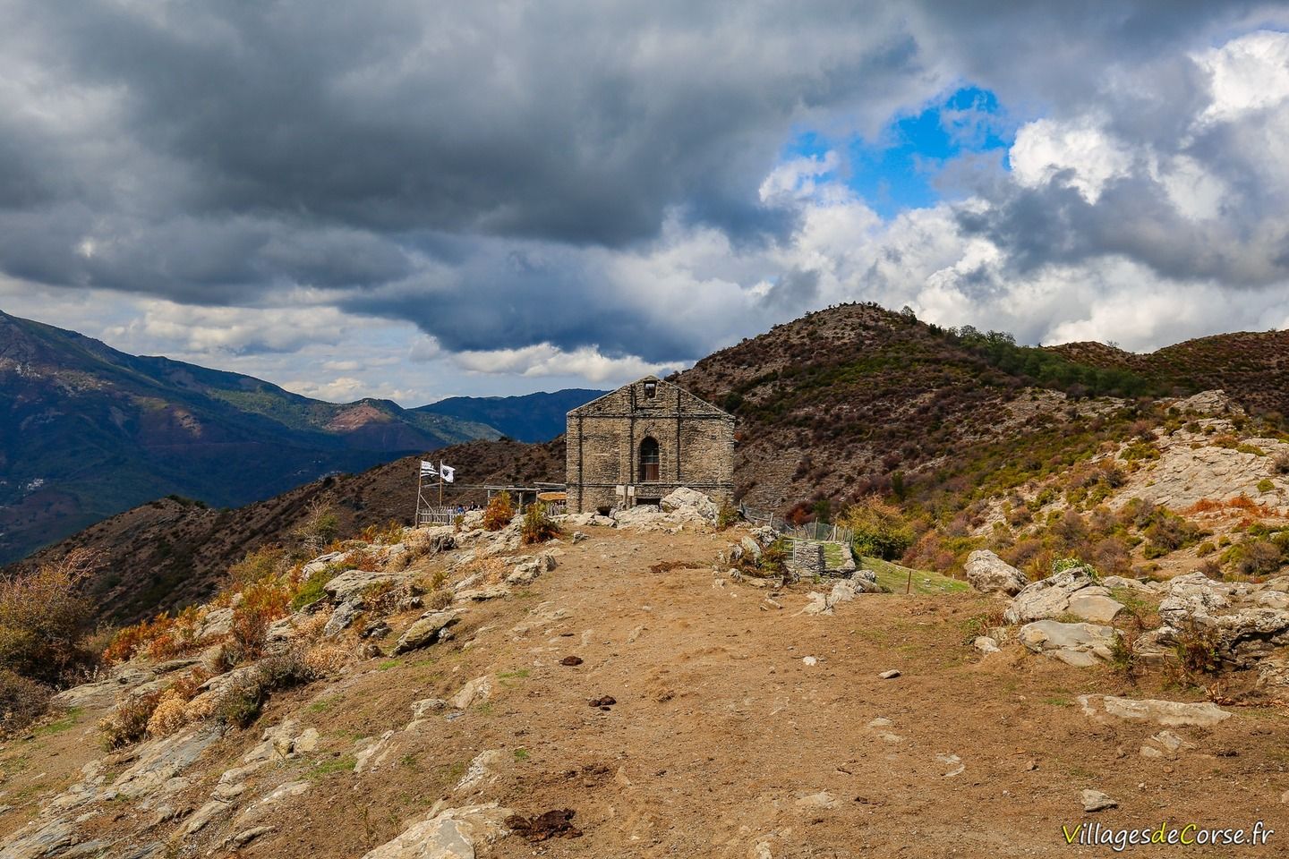
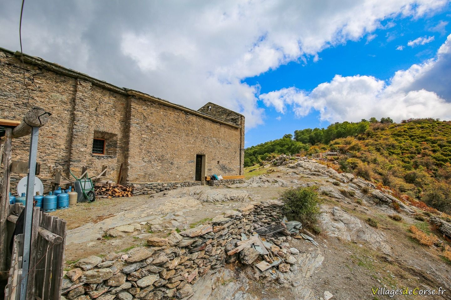
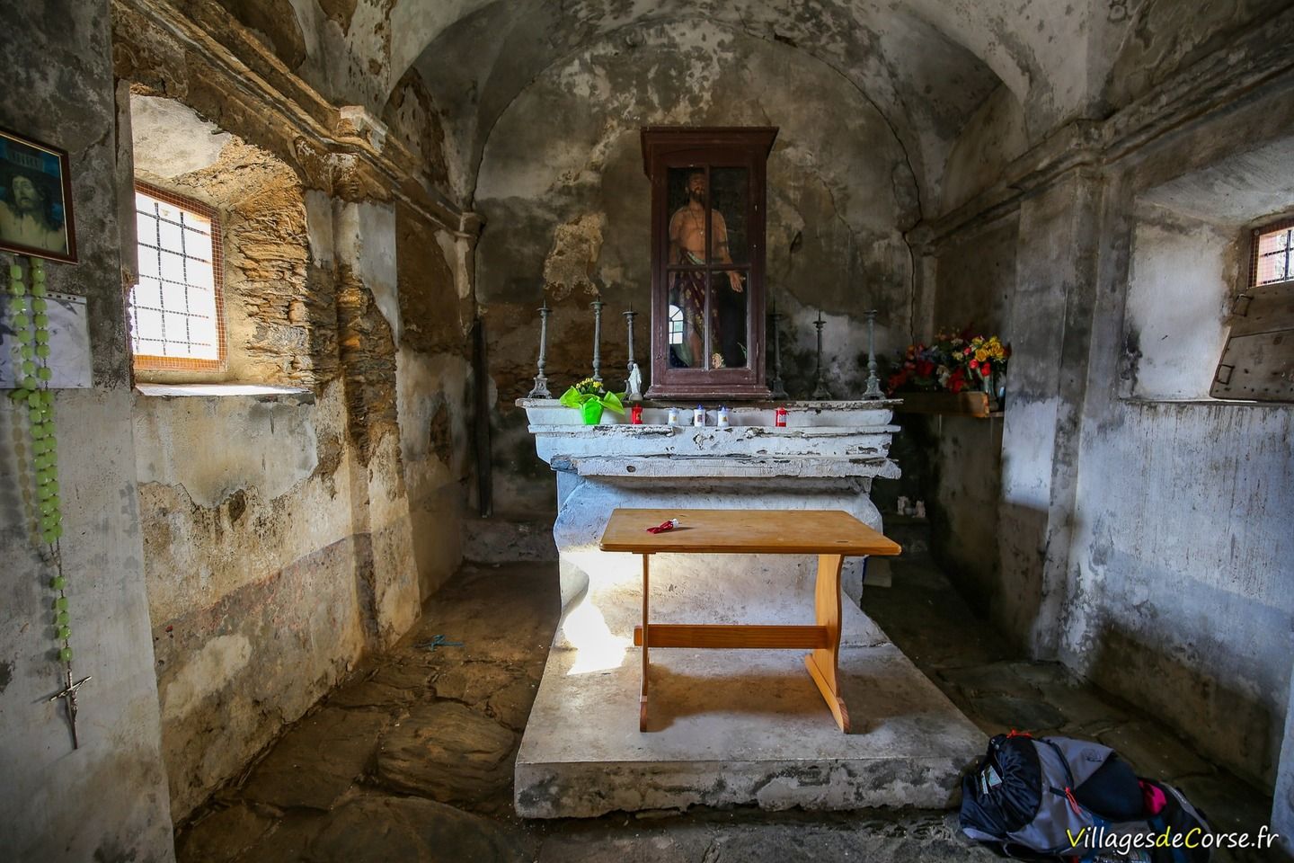
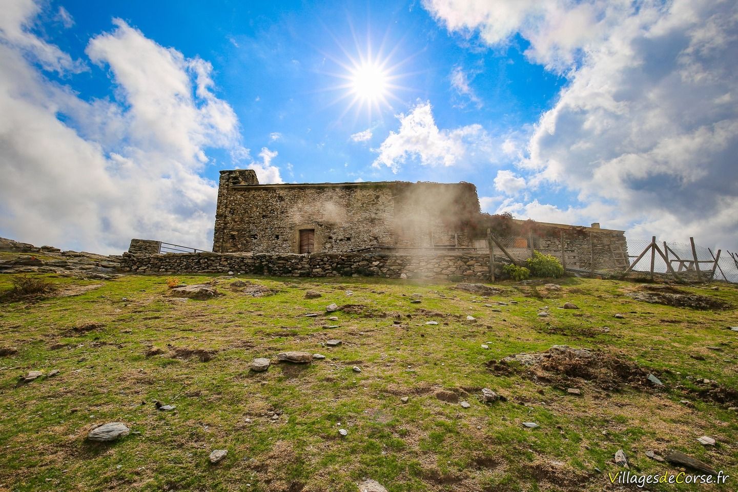
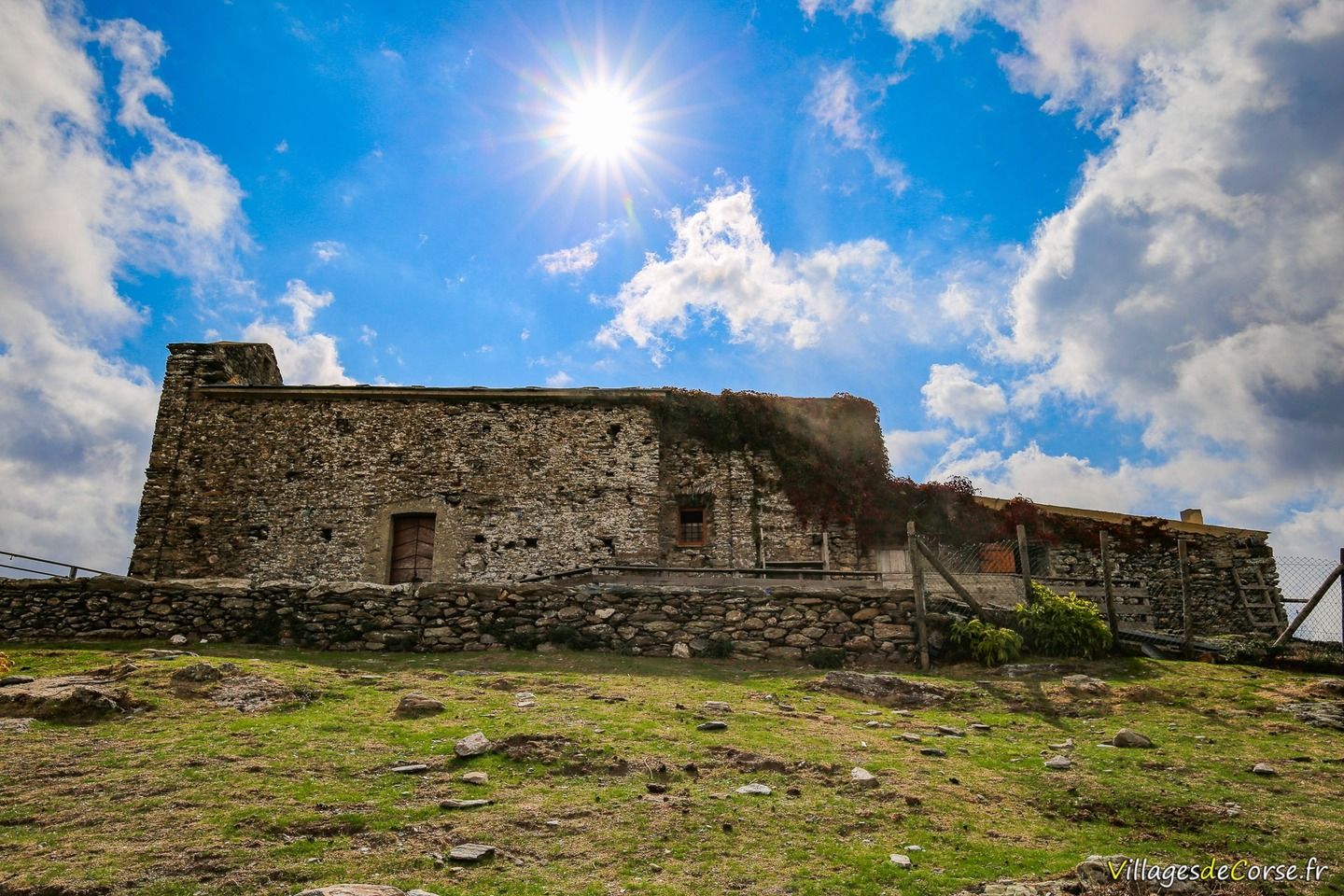
- San Bertuli
Hiking to San Bertuli Chapel
Corsican meal at the Stazzu di San Bertuli sheepfold
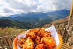
At the top of the walk from mid-June to October, at the San Bertuli chapel, there are meals at the sheepfold with Georges and Marie-Jeanne Grisanti (call if in doubt). After the effort, the comfort: goat's cheese doughnuts from a farm below, and cold meats from Georges and Marie-Jeanne are served with drinks on a terrace offering a beautiful panoramic view.
Departure from Monacia d'Orezza
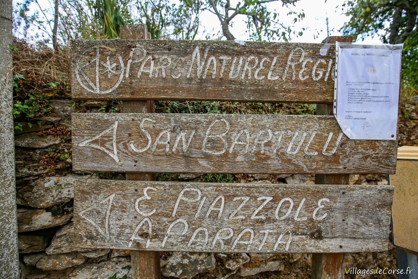
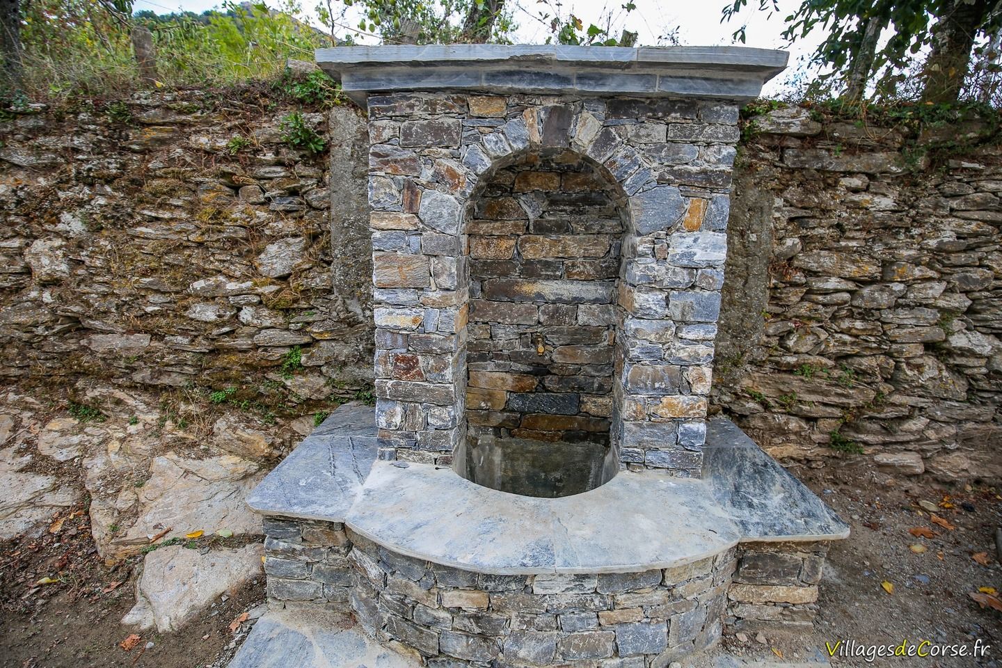
The walk begins in the mid-mountain village of Monacia d'Orezza, and you'll have no trouble finding a spot in the large church square with its detached bell tower. Once you've parked your car, retrace your steps to the fountain, where next to it is a wooden sign for San Bartulu, then climb the hill to the top and turn right up the stairs to reach a gate (remember to close it).
There is also another hiking route from the village of Parata after Monacia d'Orezza. They are roughly equivalent in terms of time and difficulty. The Parata route is shadier and has more forest than the Monacia route.
Saint Bartholomew's Day procession on 24 August
Every year on 24 August, a procession climbs up to the 17th-century chapel of San Bertuli.
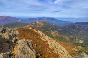
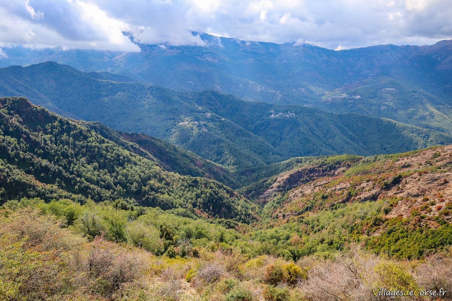
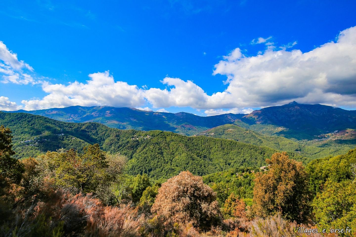
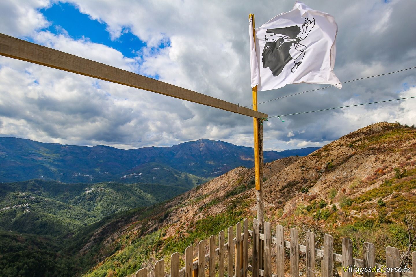
Castagniccia Mountains
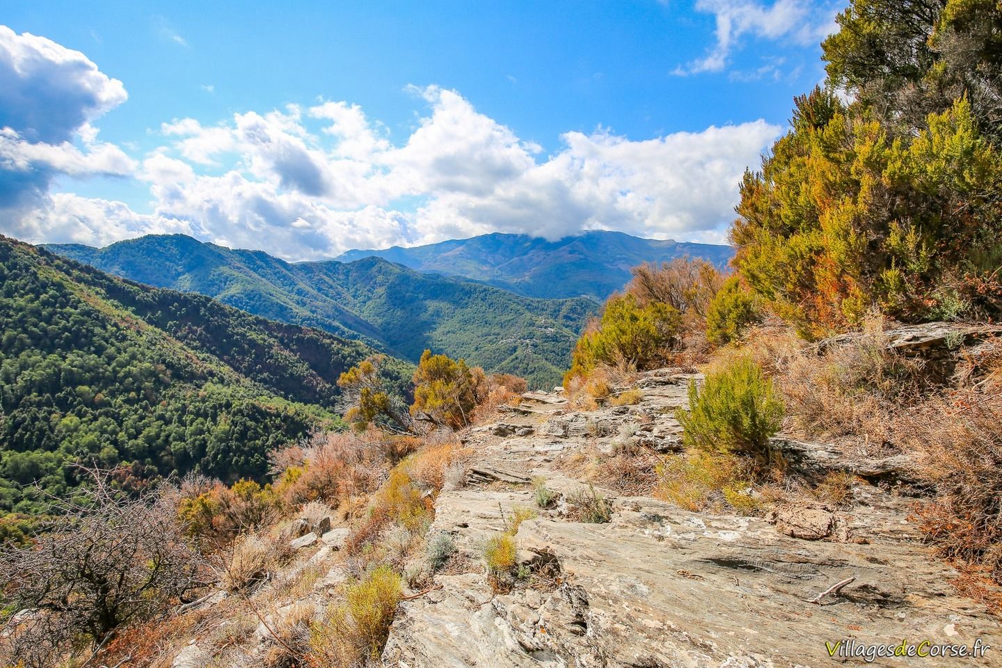
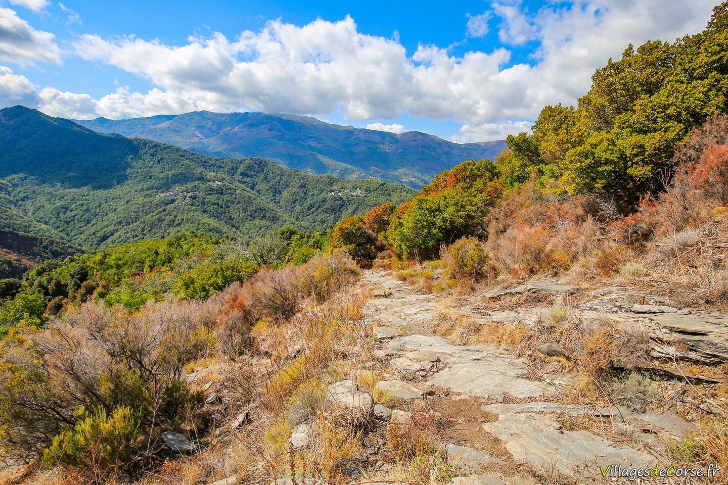
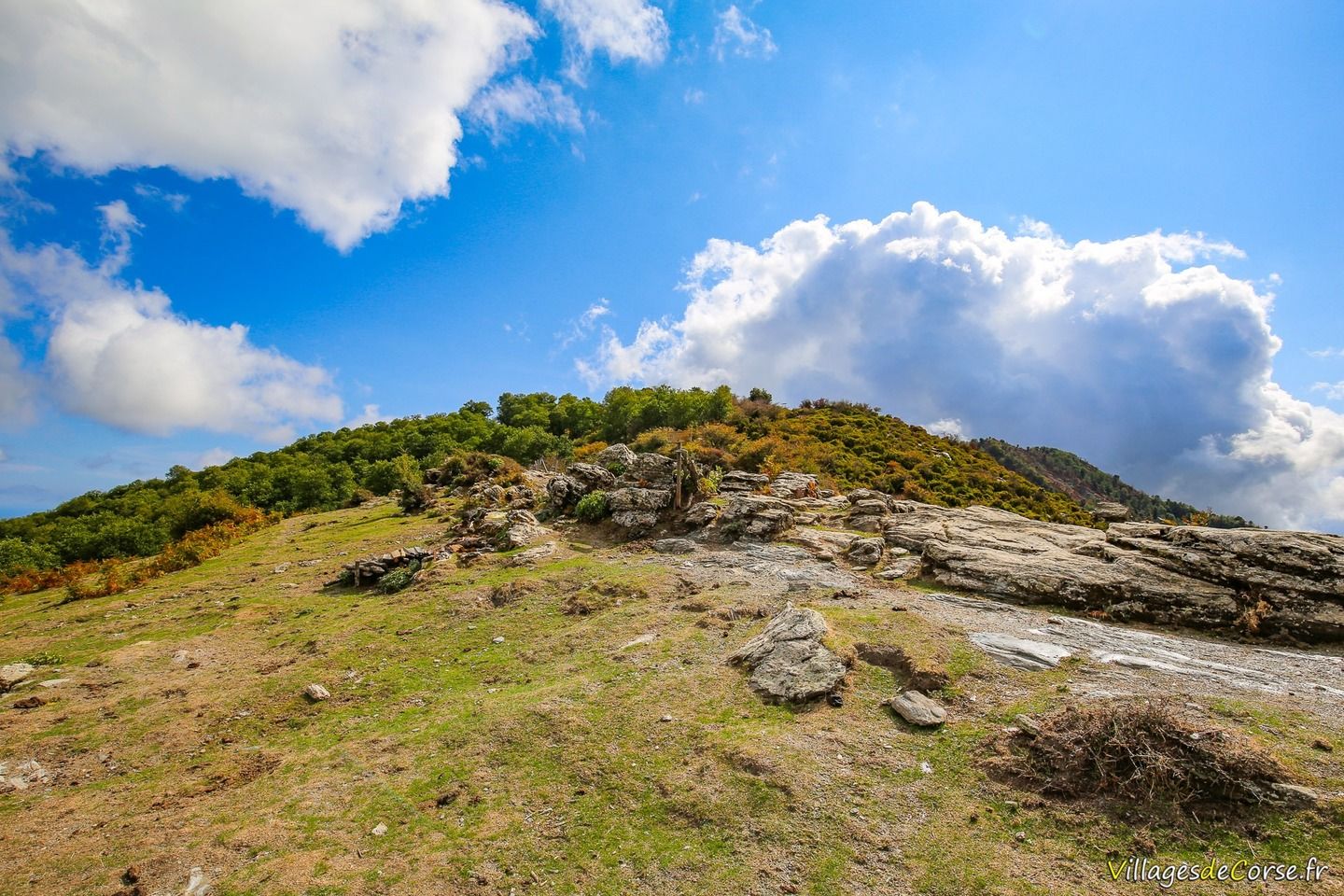
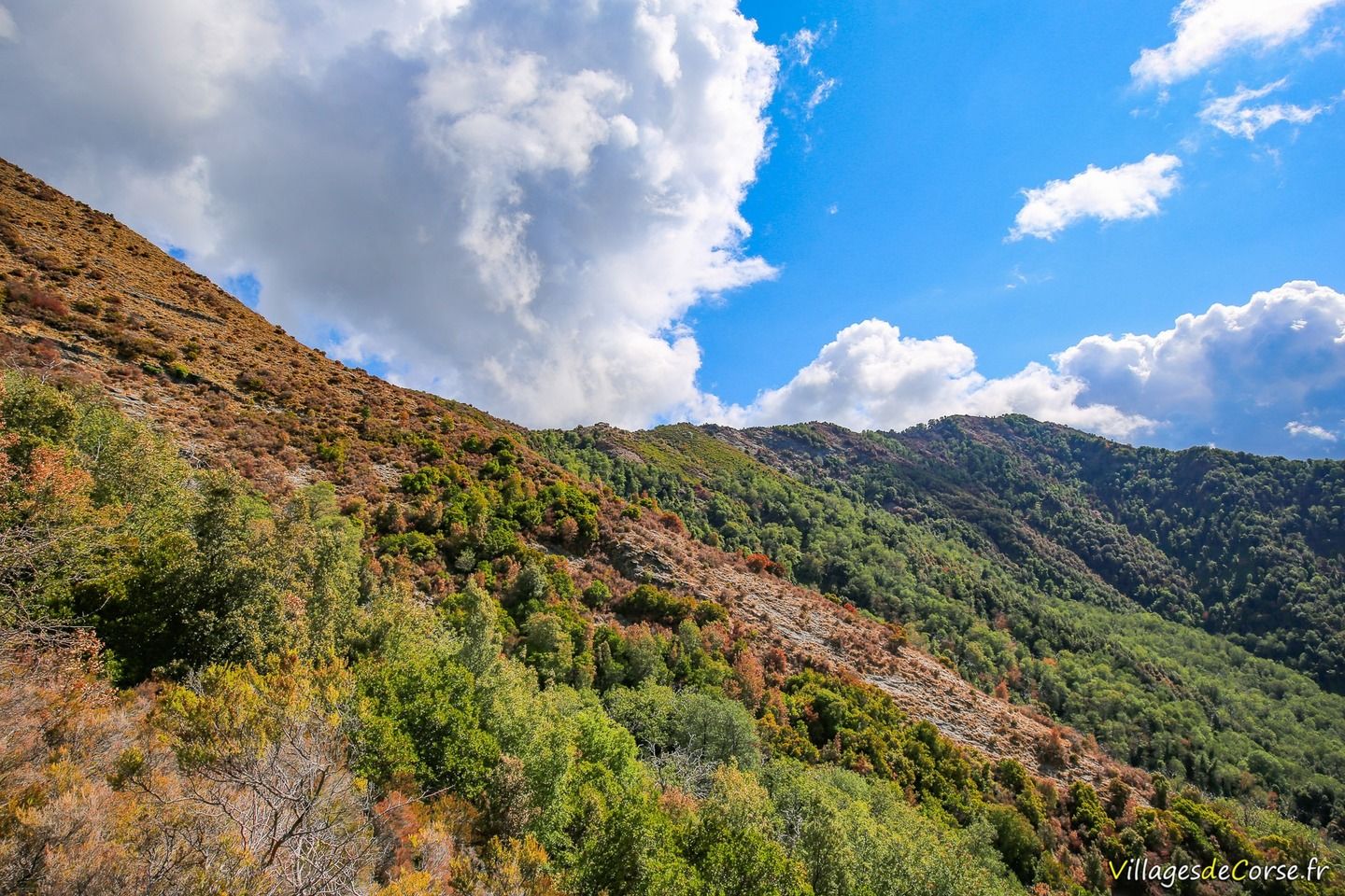
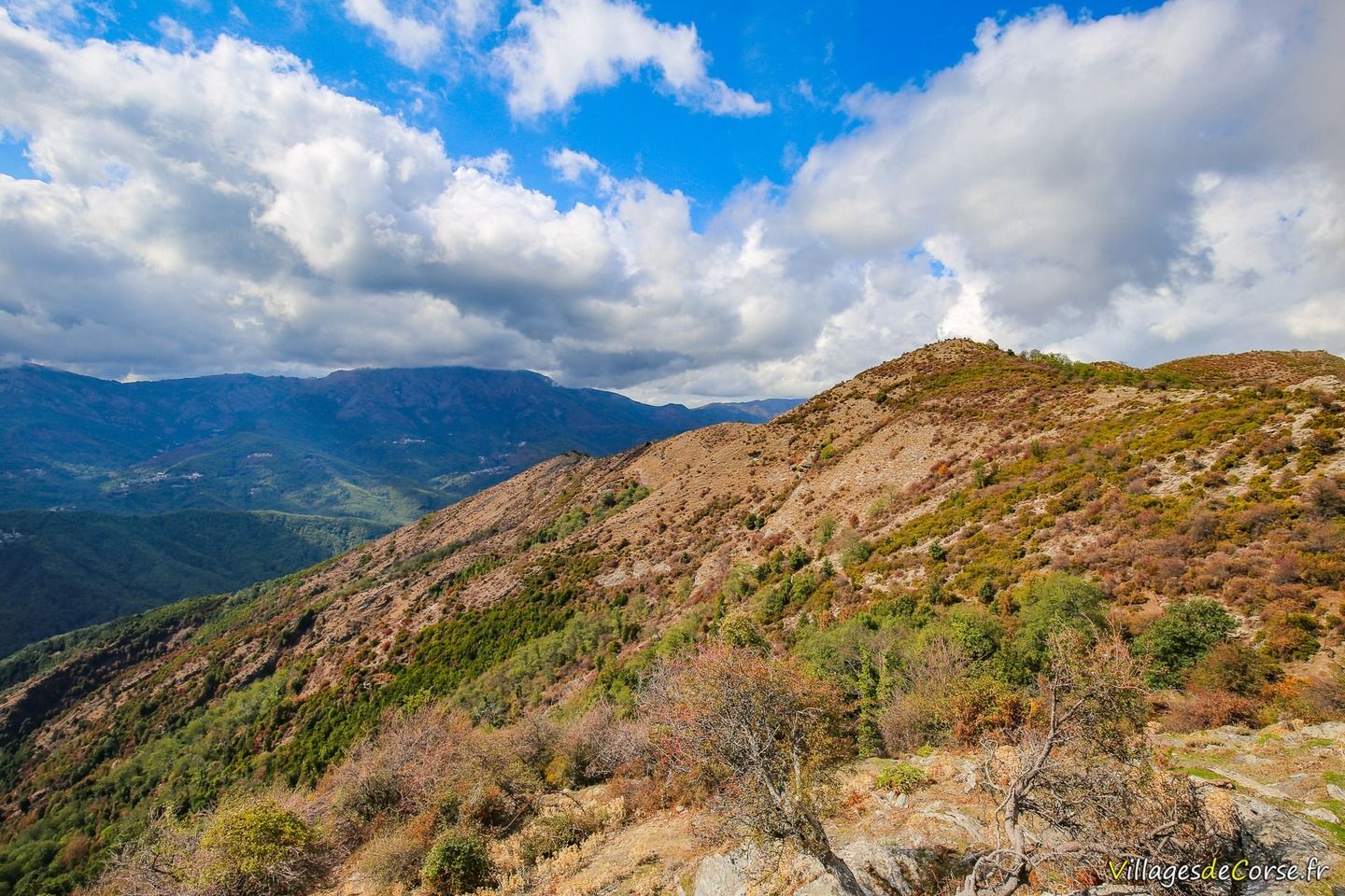
Apart from the start of the hike under oak trees and a few chestnut trees at the end, the rest of the route is perfectly clear, with some stony and even rocky sections that are hard on the joints. As the trail is very exposed to both sun and rain, you should check the weather forecast beforehand and avoid setting off in stormy weather. Whatever the season, and especially in summer, make sure you bring hats or caps, and water for everyone.
The hike crosses this Castagniccia mountain to reach the mountain ridge between the pointe de Stolo to the south and the pointe Castello Mozzo to the north, which rise to an altitude of around 1,132 metres and are around 2km apart. The ridge line forms a natural boundary between the municipalities of Monacia d'Orezza and Velone d'Orneto. San Petrone can be seen opposite.
Difficulty of the walk
The main difficulty of the hike is that it is a one-piece ascent with a gradient of around 18% for around 1 hour 15 minutes. As can be seen on the gradient map, the climb to the summit is all uphill (around 540 metres of gradient over around 3 km), with no flat or downhill sections as far as the San Bertuli chapel. On the return journey, even if the effort is less, the descent also puts the joints already tired from the outward journey to the test, as well as the body, which is why it is not recommended for children under 6.