Hiking the Lancone Gorge at Olmeta di Tuda
Monte Pinzali - At the base of Cap Corse
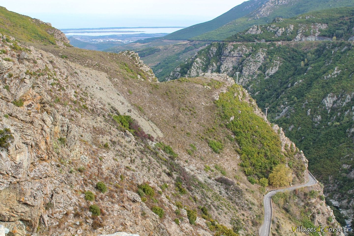
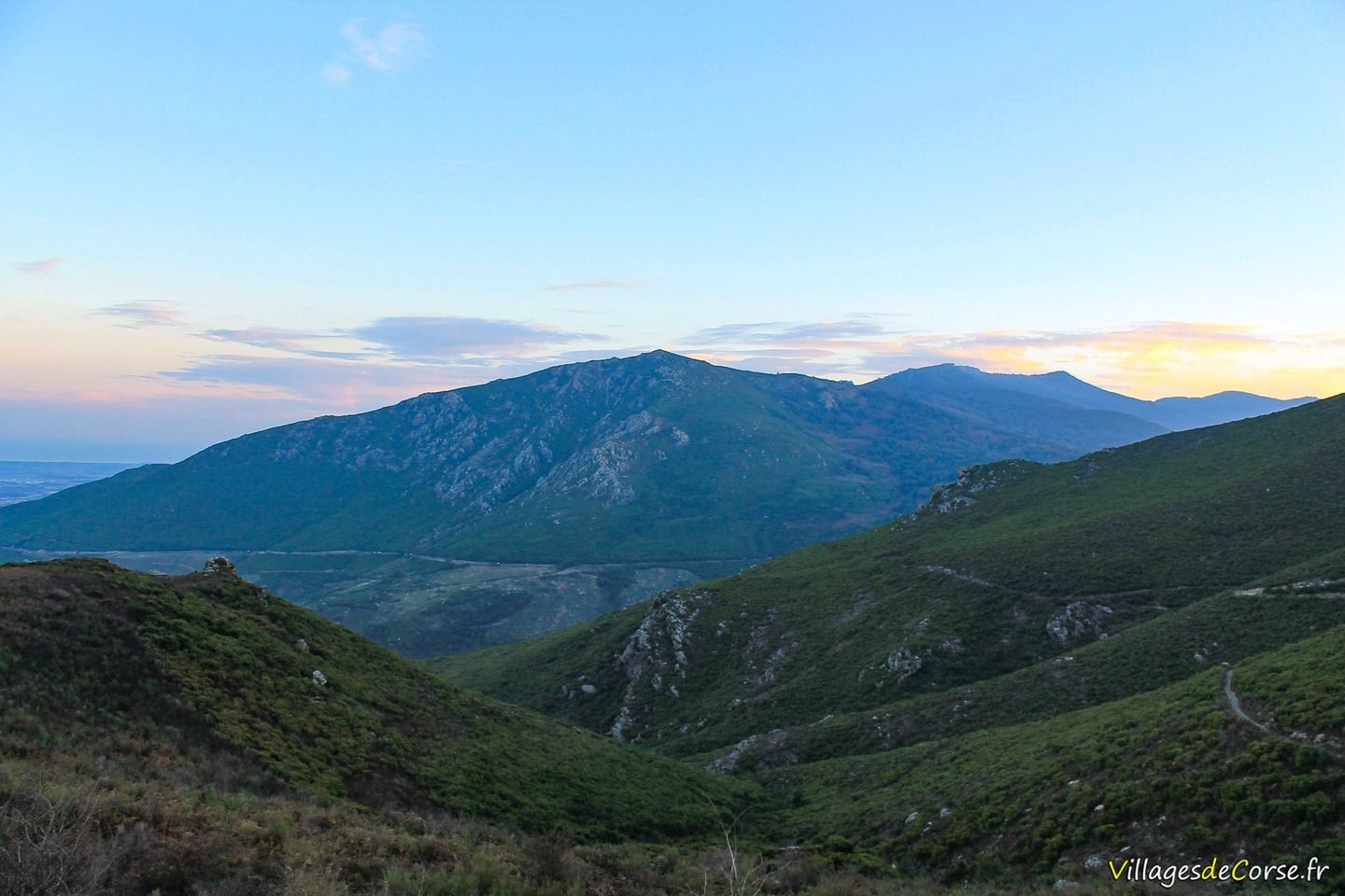
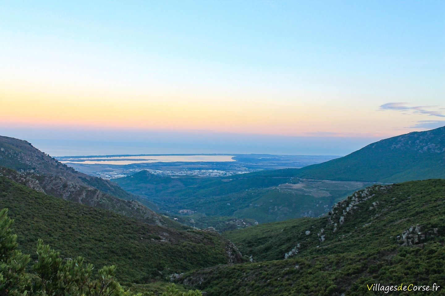
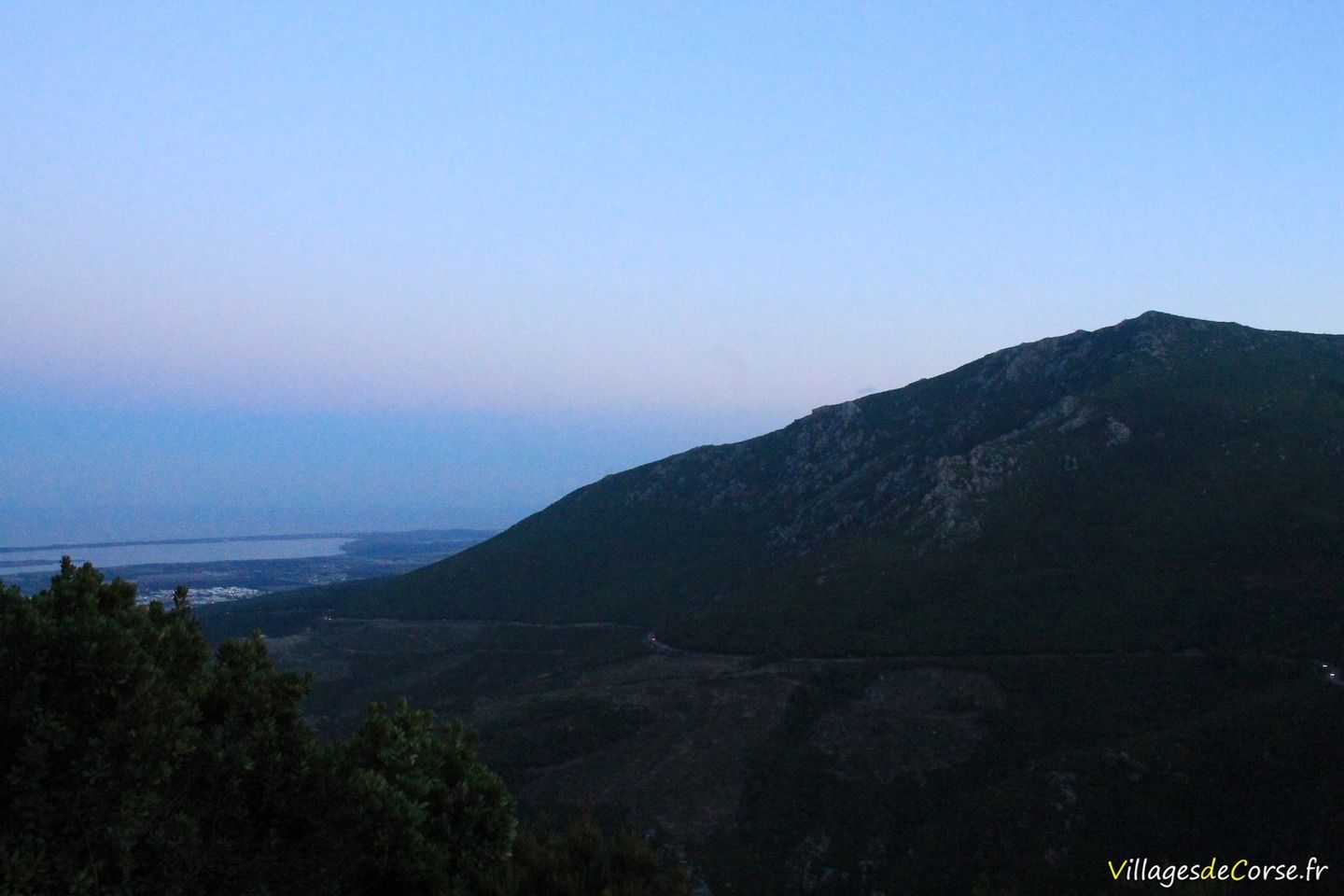
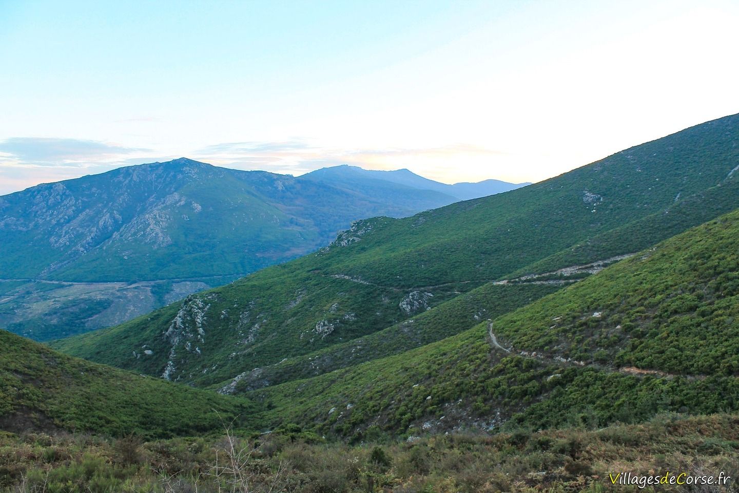
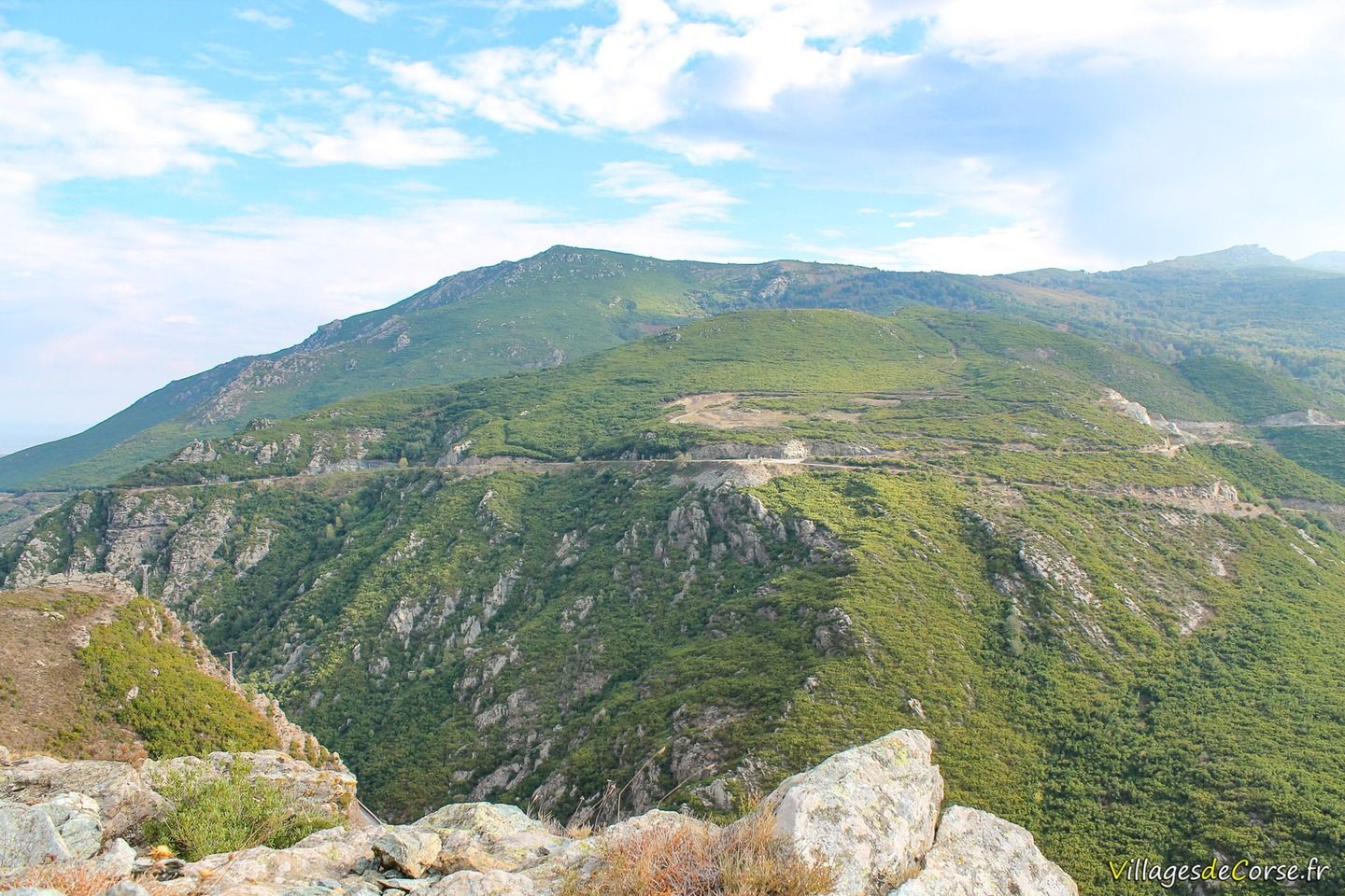
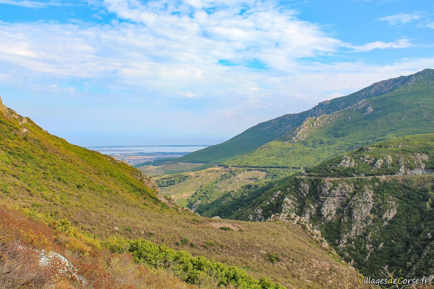
The Lancone gorge refers to the Bevinco gorges that separate the Massif de la Stella to the south from Monte Pinzali to the north, the latter marking the base of the Cap Corse spine.
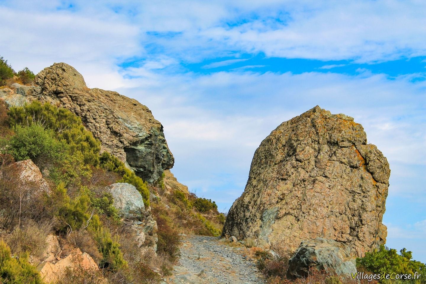
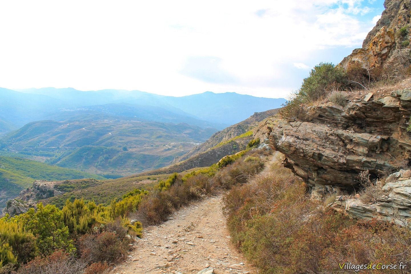
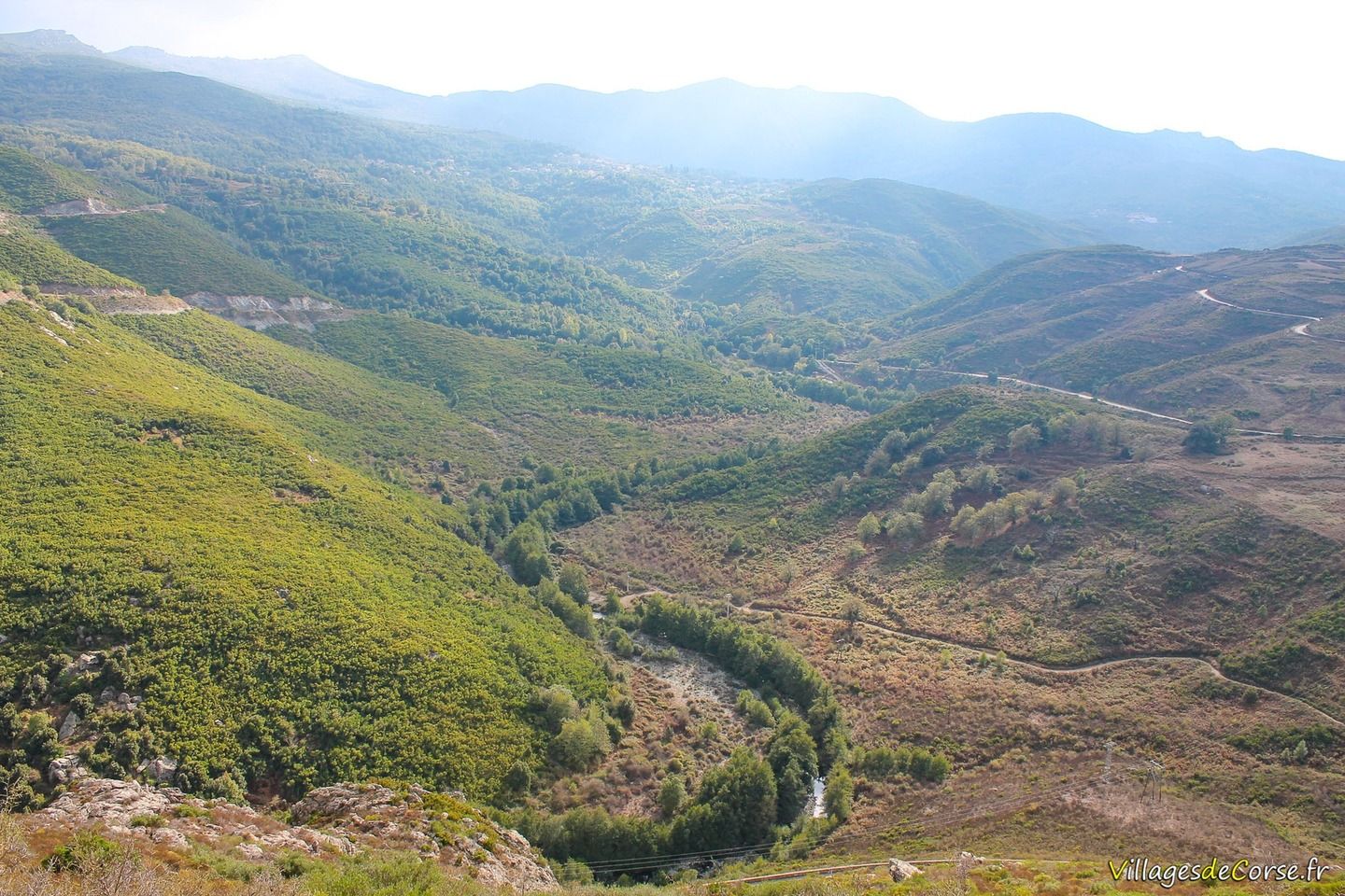
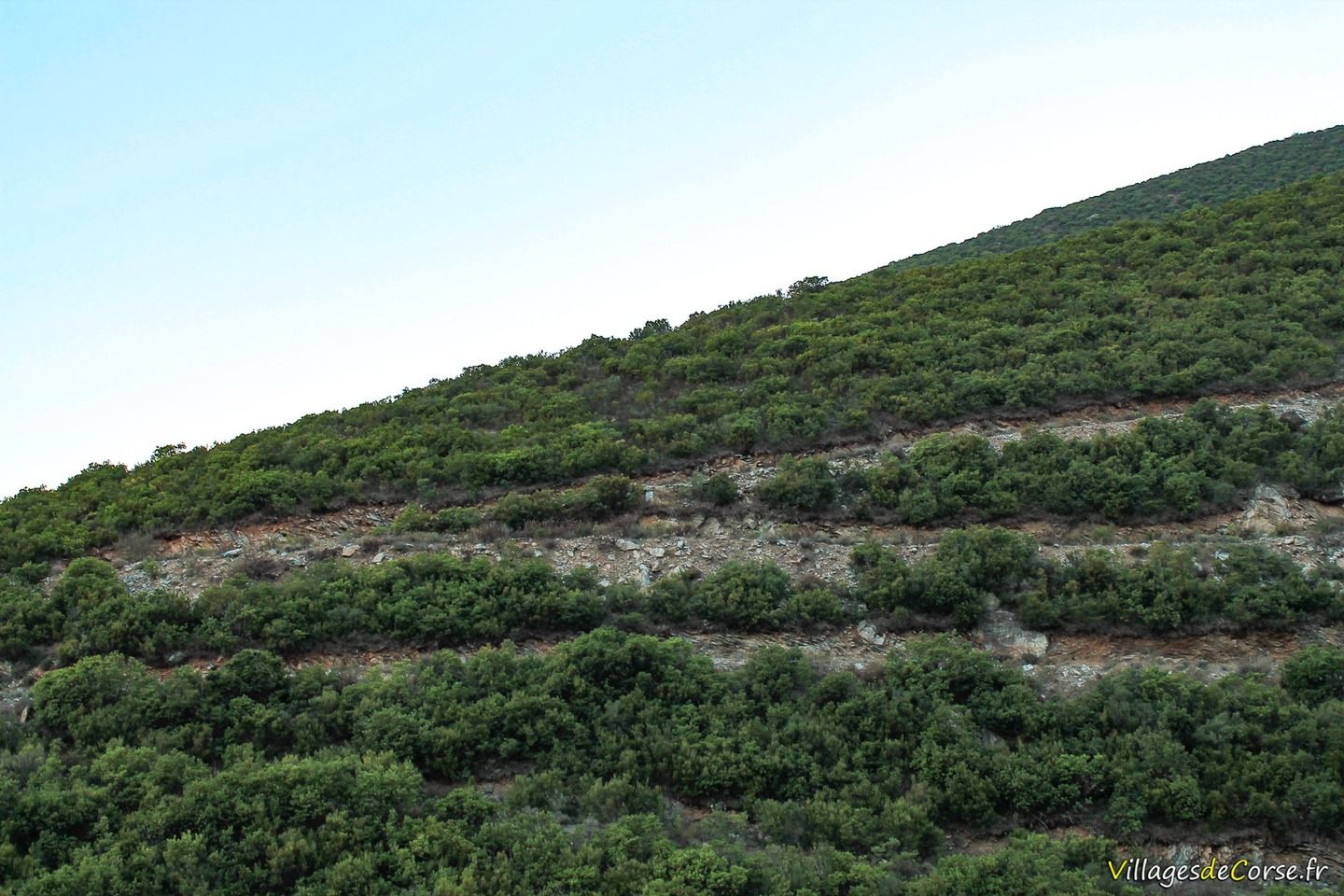
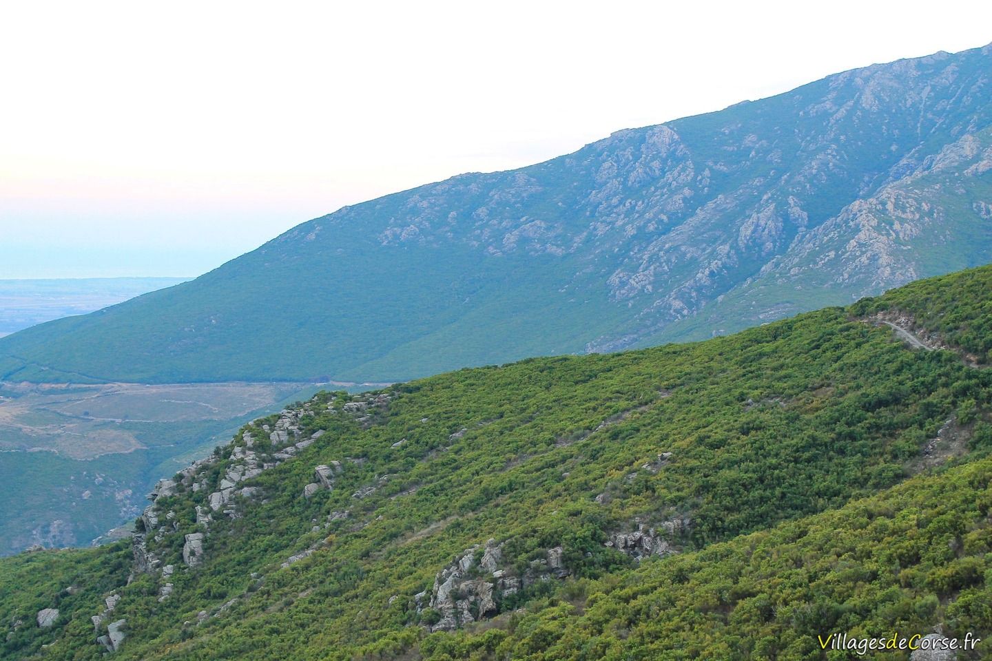
The route starts above the shops and new homes on the San Stefanu pass, then takes a right at the reservoir. The terrain is rocky with sparse vegetation, which intensifies towards the end of the route. The track is dirt, with some stony sections, and is perfectly passable, even for motorised vehicles.
The difficulty is moderate and lies almost entirely in the length of the route. Allow at least 4 hours to complete the whole route. However, it is possible to divide the route in two by leaving one car on the hills at Biguglia.
Highlights of the trail
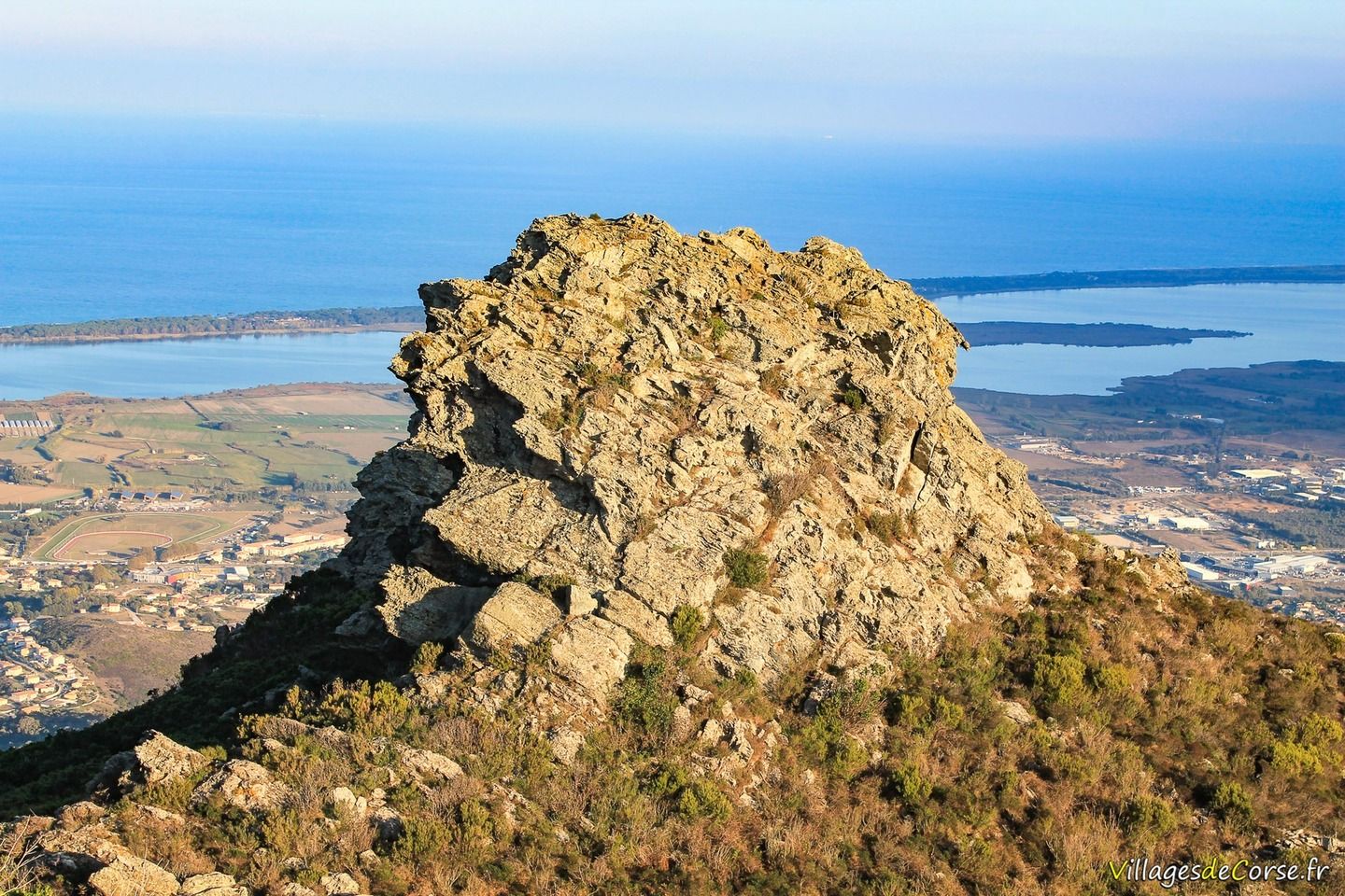
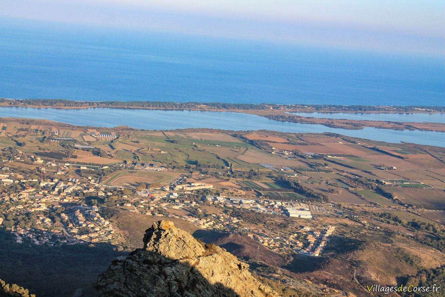
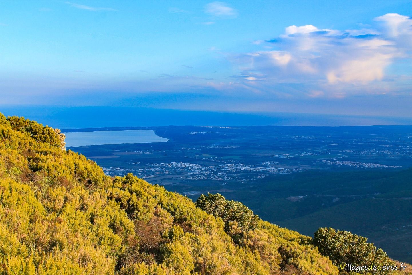
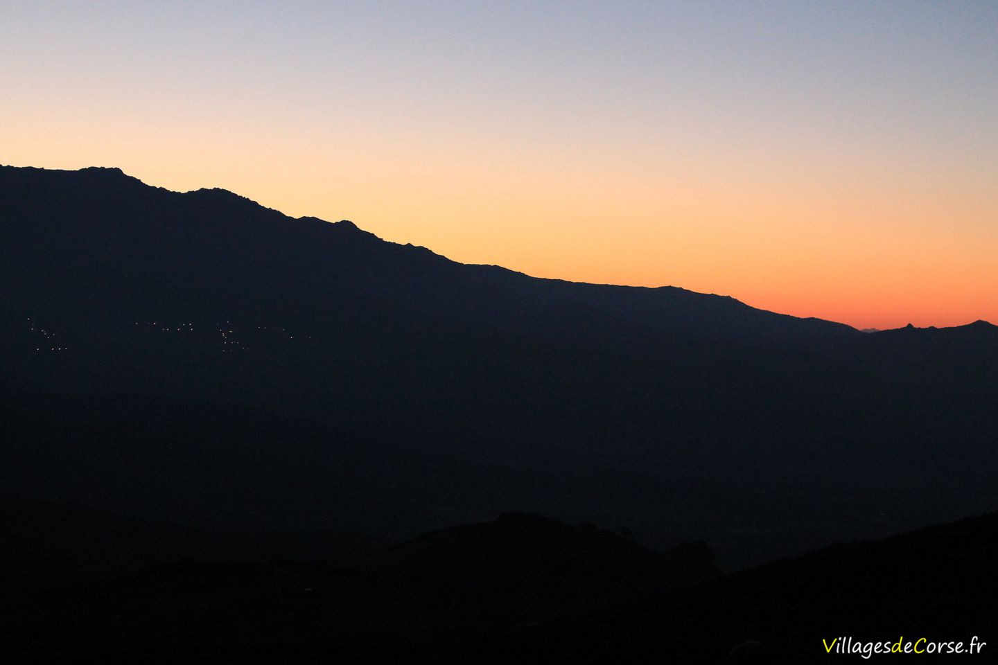
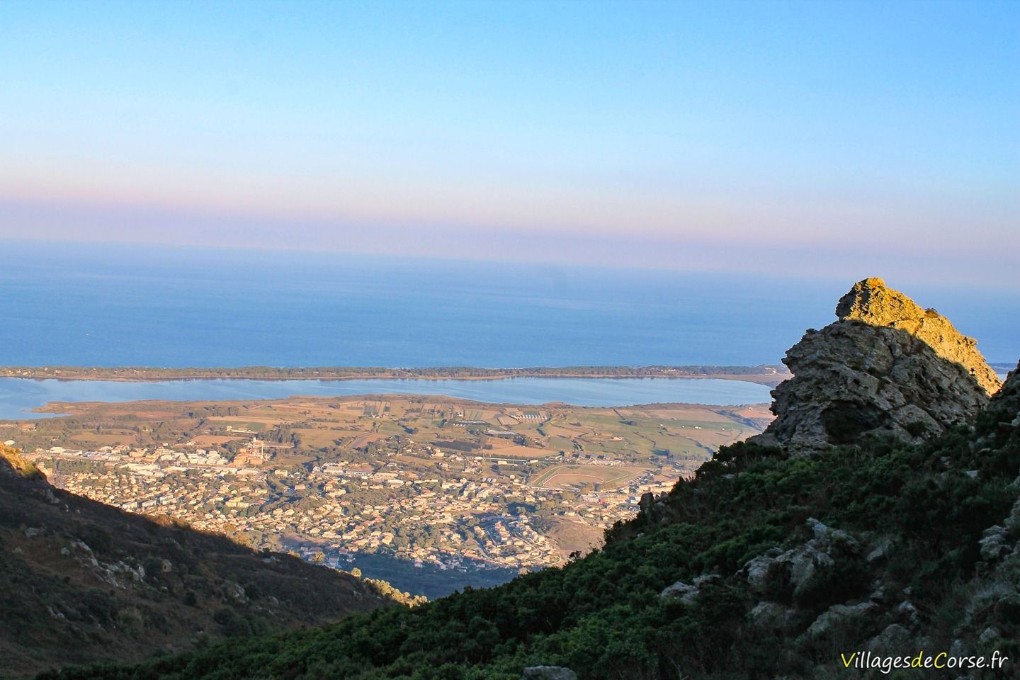
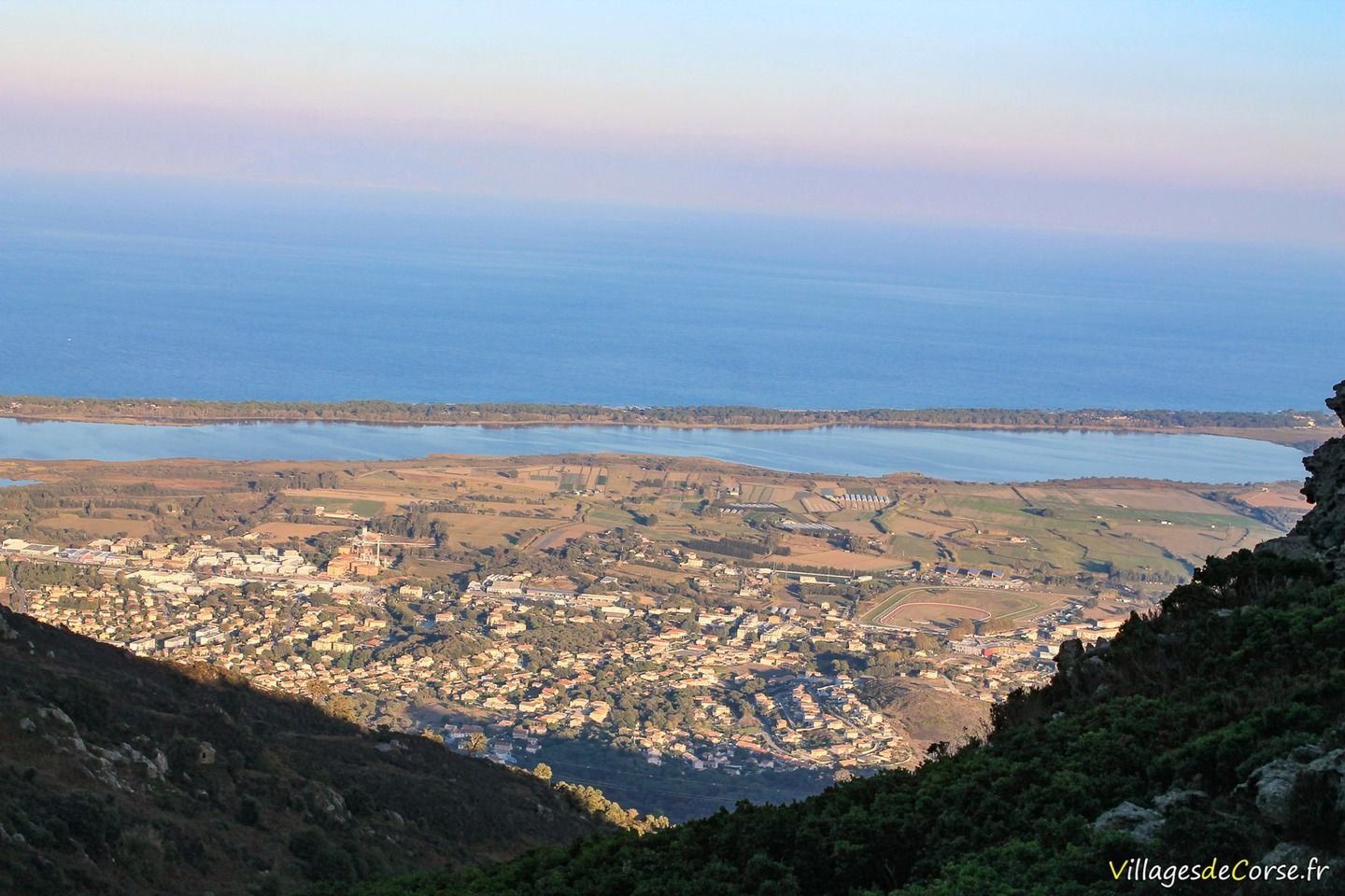
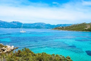
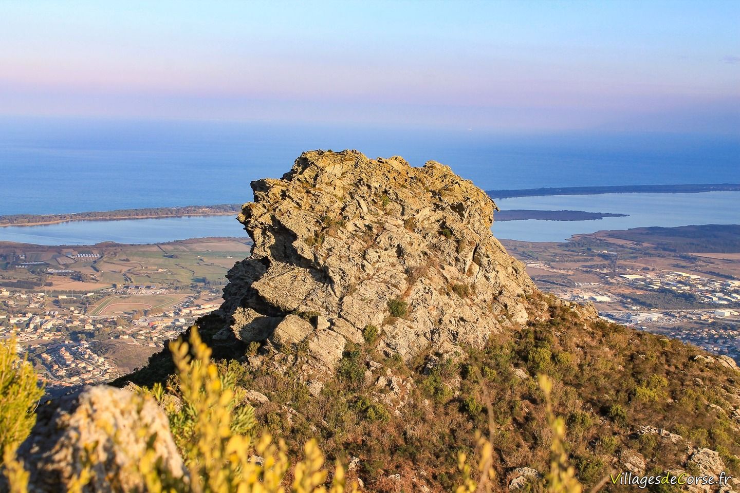
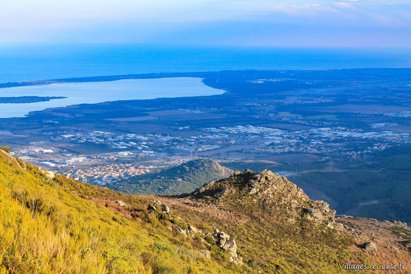
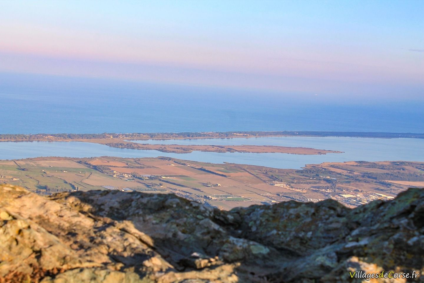
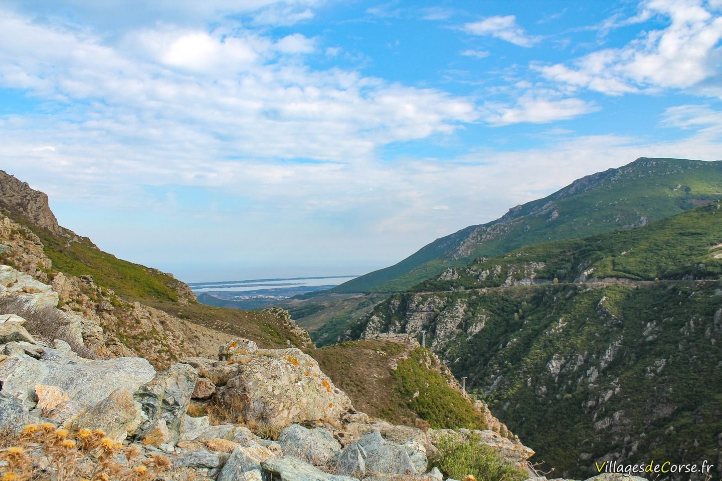
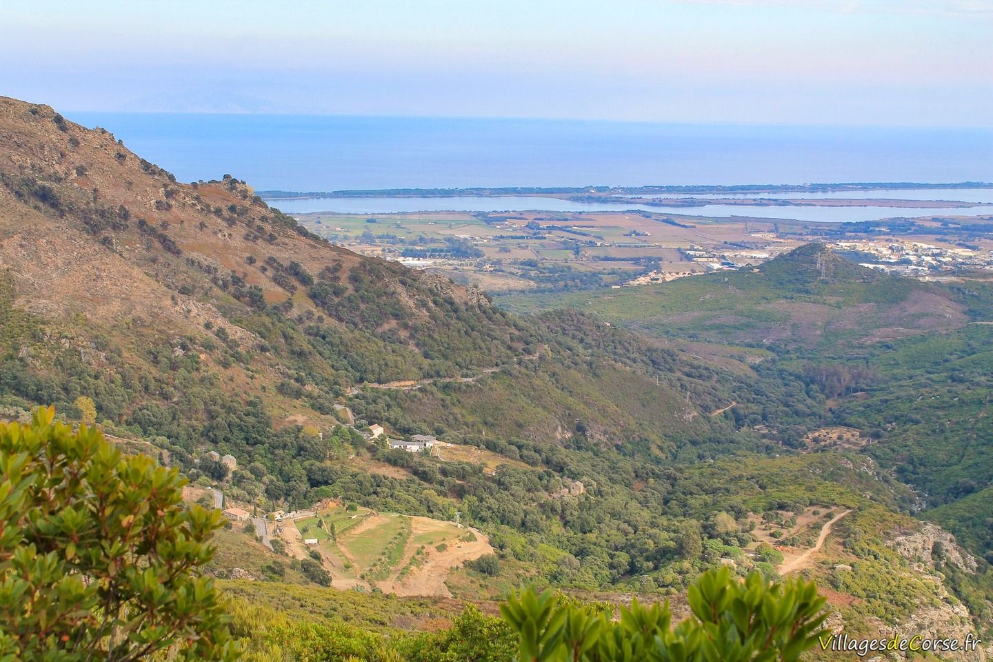
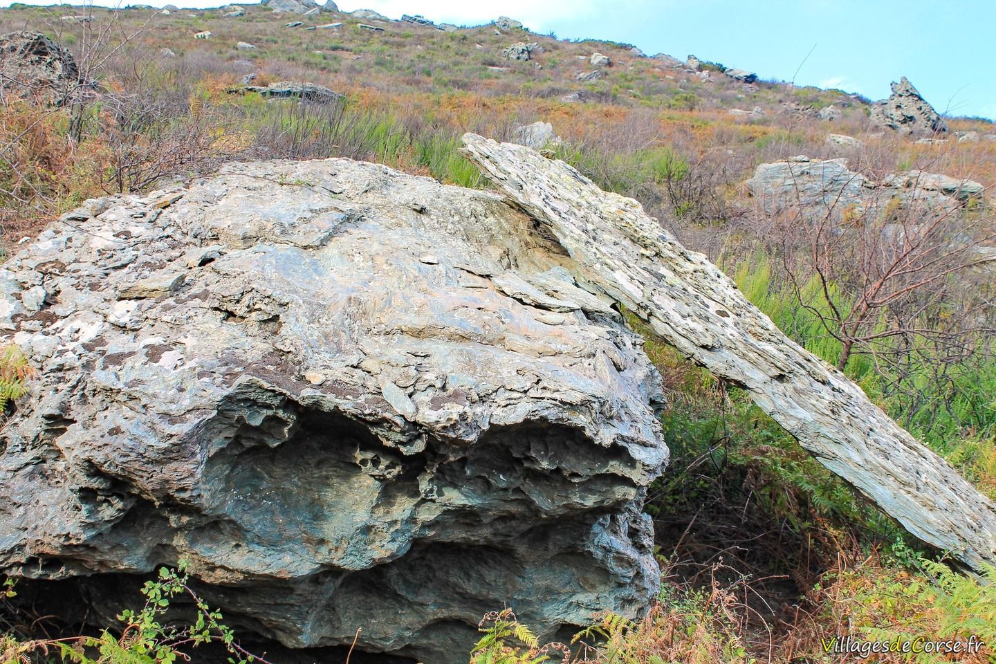
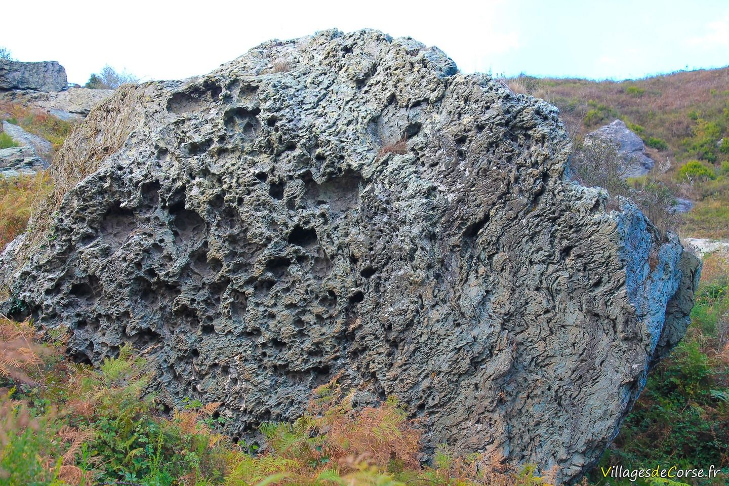
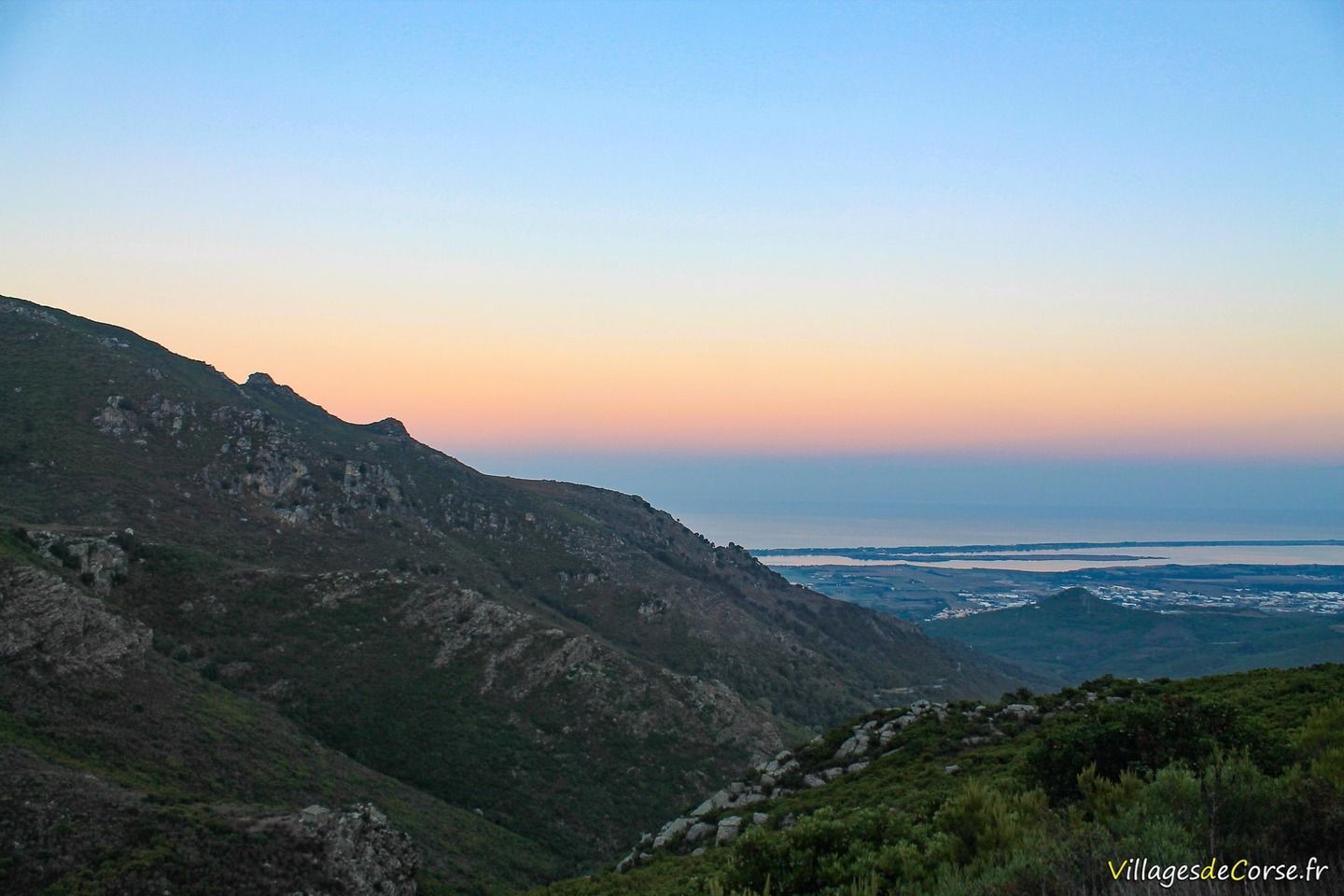
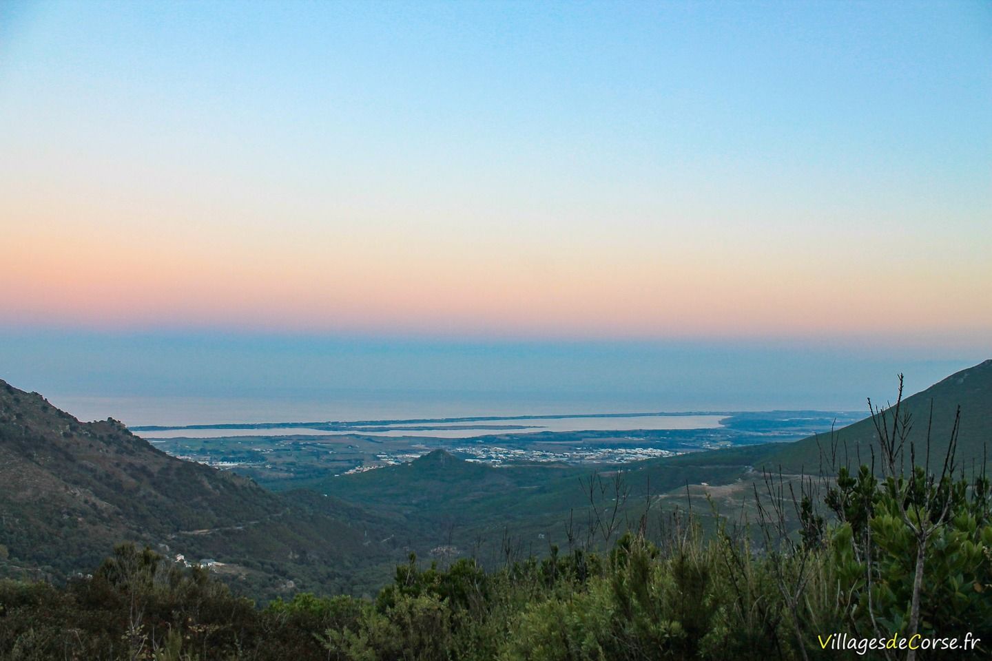
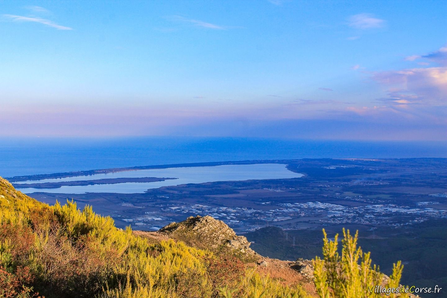
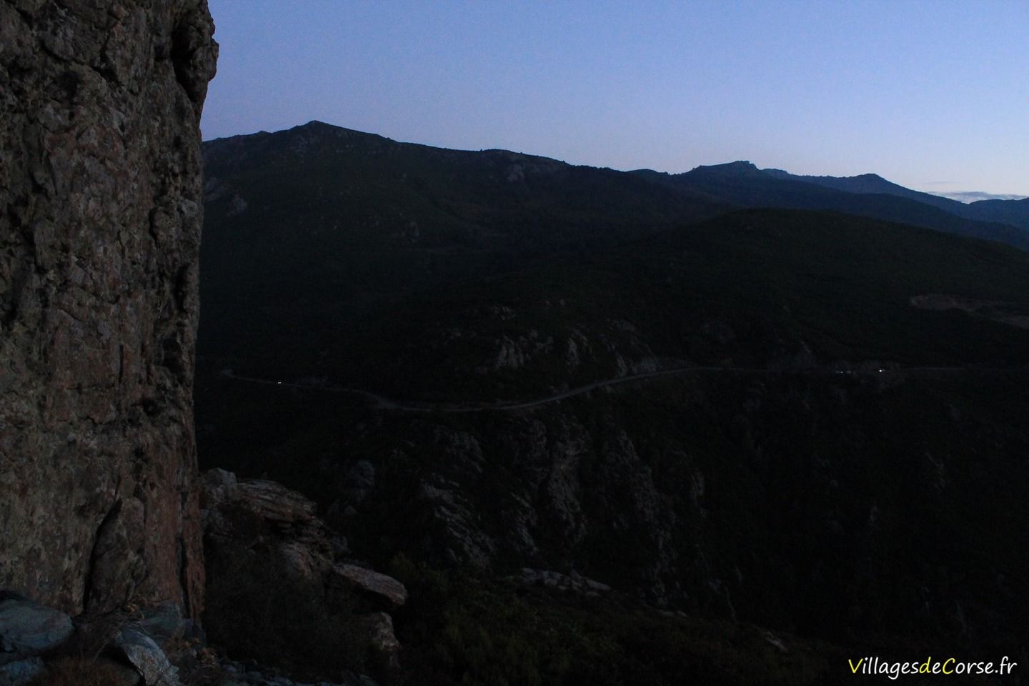
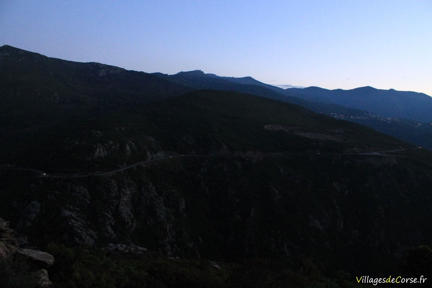
The panorama is unique and enjoyable all along the route, with an unobstructed view over the Bevinco valley to a view of the Tyrrhenian Sea and theBiguglia lake overlooked by imposing rocky peaks. Depending on the situation, you can barely hear the engines of the cars going up and down the Lancone.
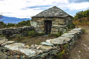
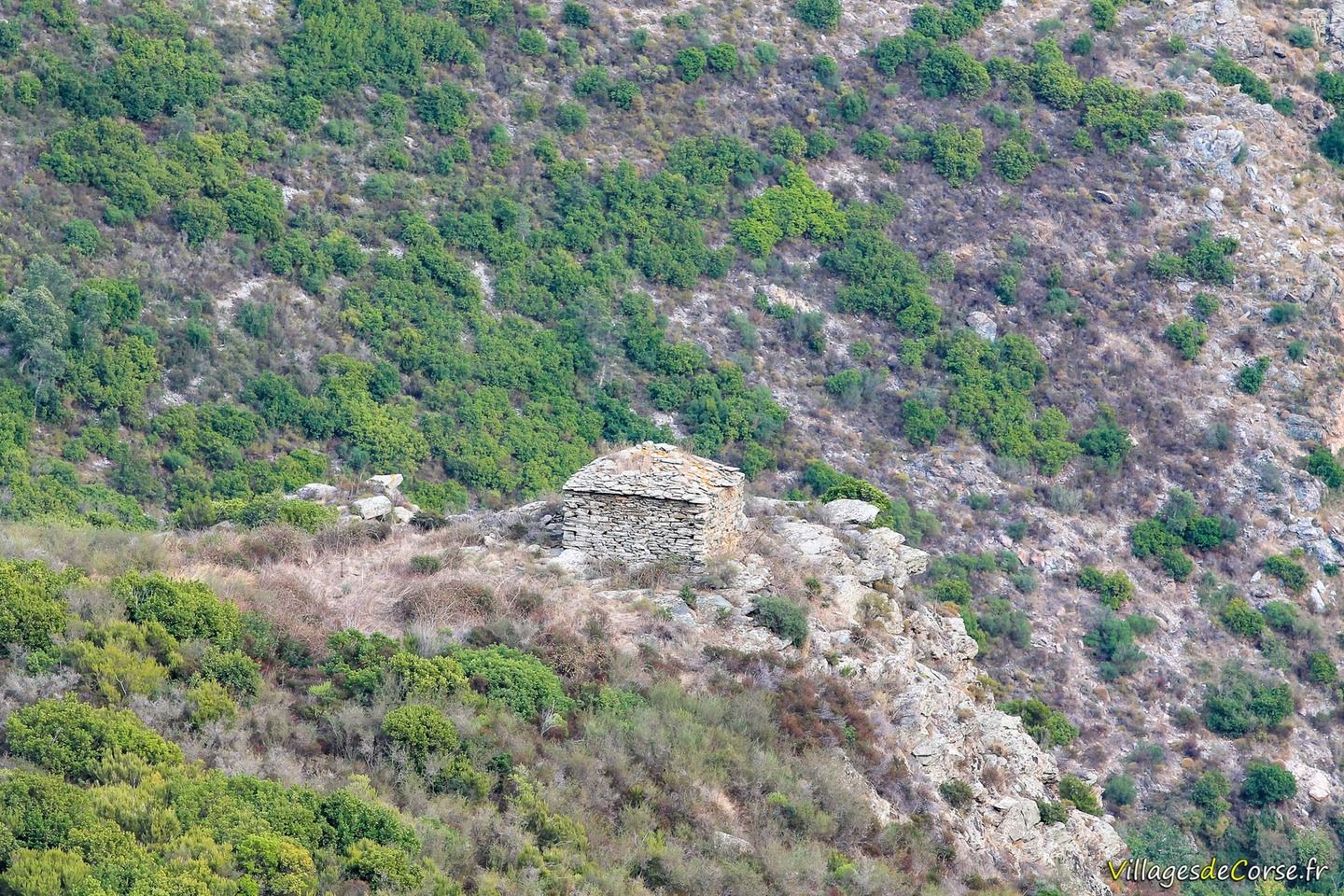
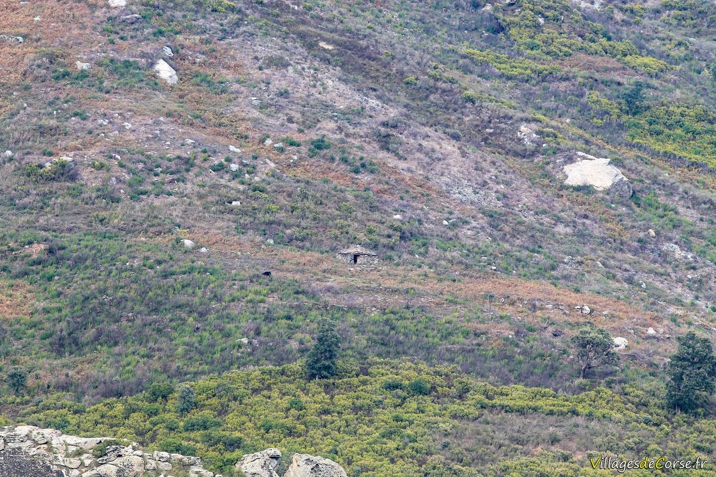
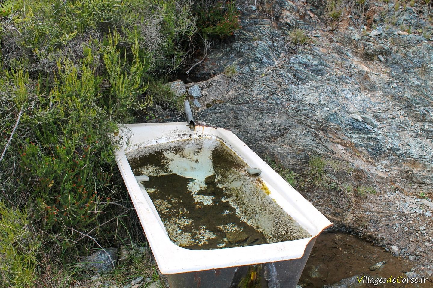
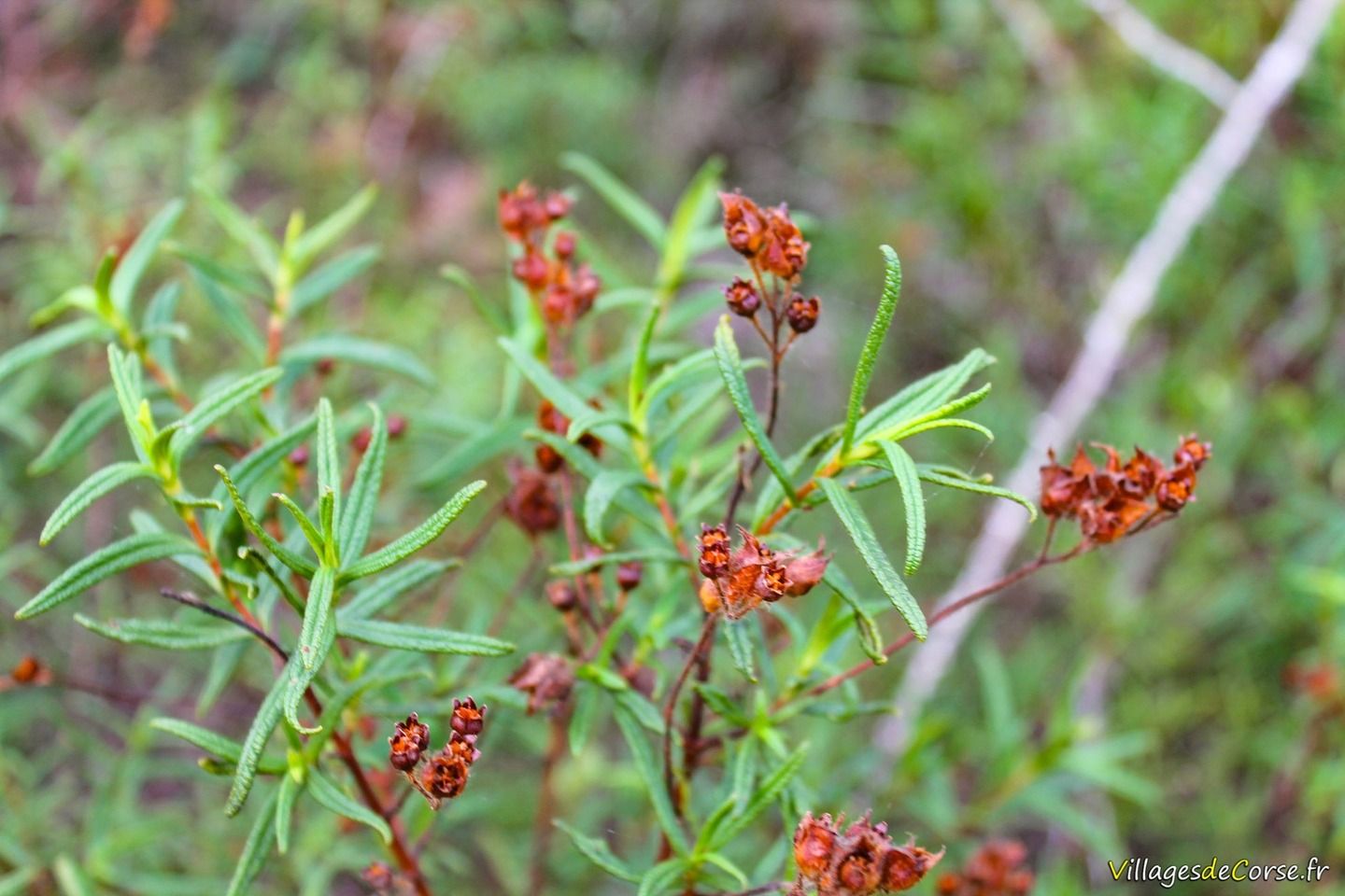
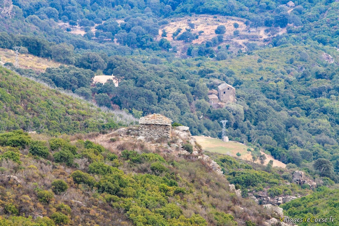
In the distance, you'll also come across pagliaghji that bear witness to pastoral life in days gone by, and cross small streams.
Old mule track
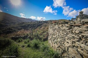
This is the same path on the southern slopes of Monte Pinzali that the nebbiulinchi used to take to reach the town. This mule track is clearly visible at the Rutali junction as you descend from the Col d'a Madonna di e Piane towards Ortale. In the past, it was used to buy goods that were in short supply, such as sugar, salt and spices, as well as to sell produce and trade.
The Lancone parade route
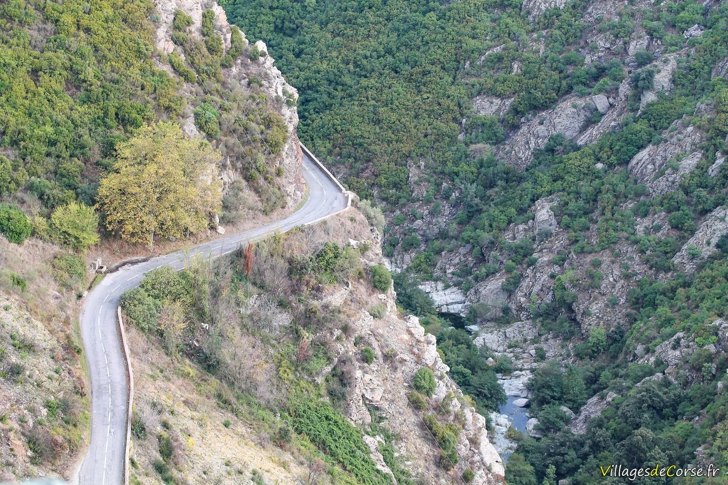
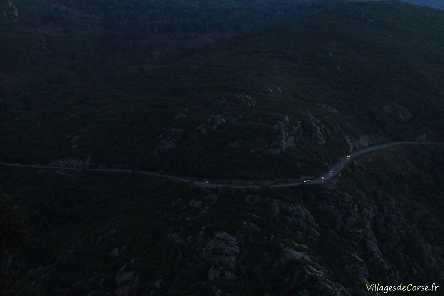
A locality of Olmeta di Tuda, Lancone also marks the D62, which was the first road to link the villages of the Nebbiu to the coast of greater Bastia, a road steeped in history, sometimes dramatic, built in difficult conditions on the mountainside, even in steep rock on the edge of a precipice.
The Lancone gorge has become a rally stage by its very nature, with its extreme scenery, hanging rocks and narrow, winding roads.