Customs Trail in Saint-Florent
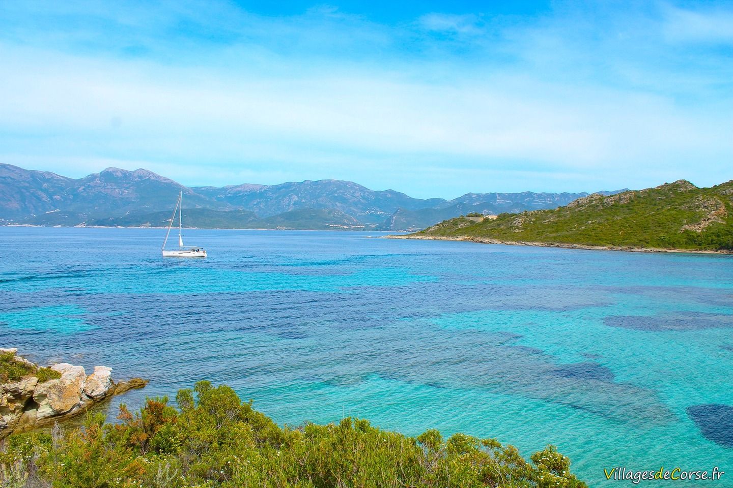
Coastal path through the Agriate desert
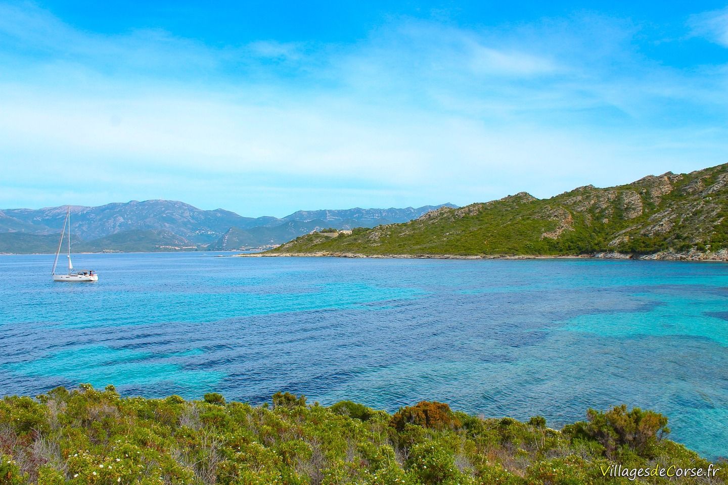
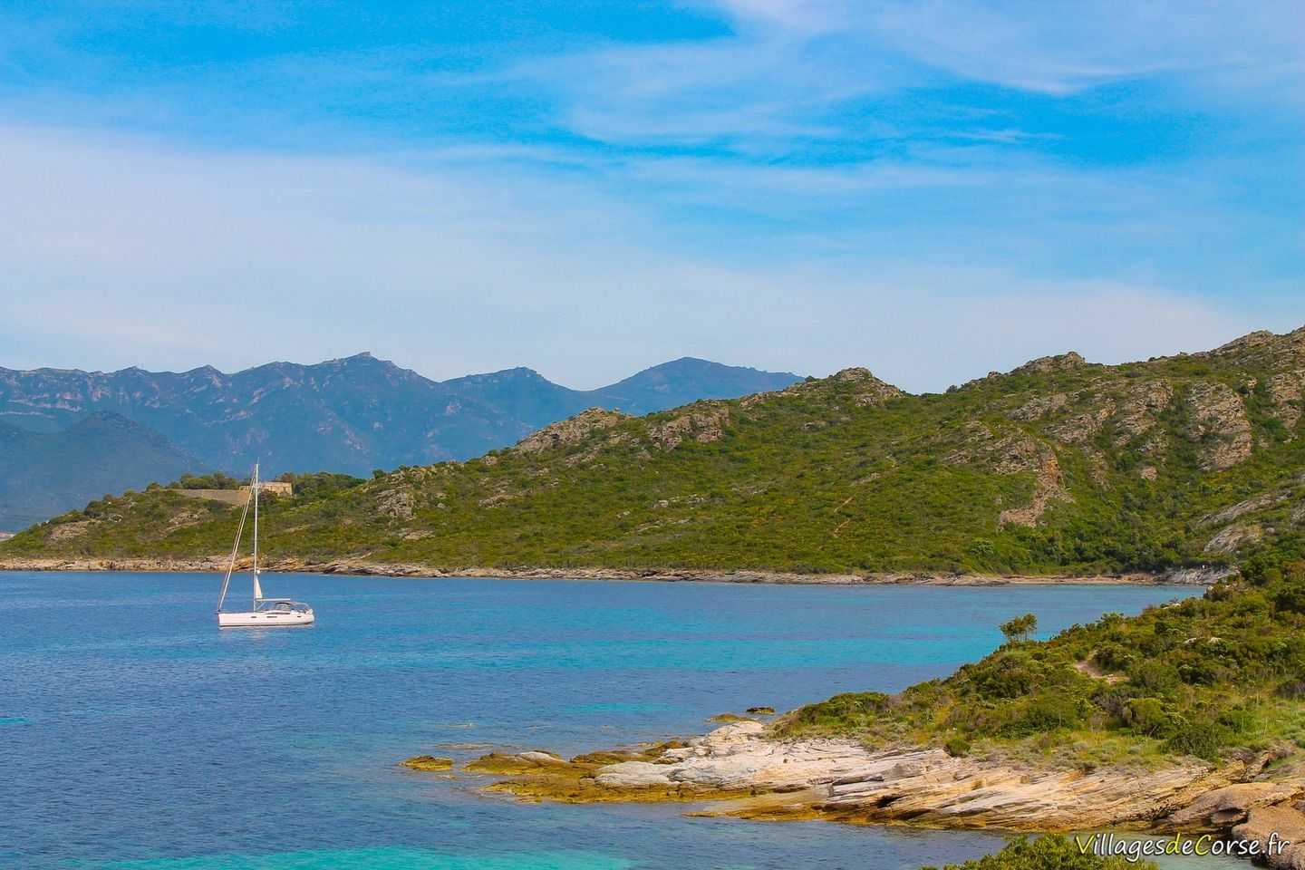
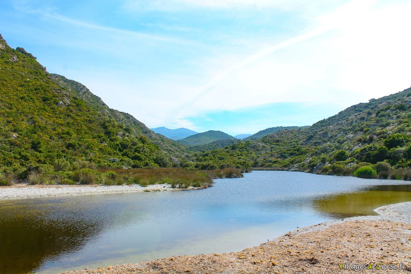
The Chemin des douaniers in Saint-Florent is a section of the coastal path that starts at the Anse de Fornali and runs along the coast of the Agriate desert, crossing the beaches of Lotu, Saleccia and Ghignu in the commune of Santu Petru di Tenda, as far as the beach of Ostriconi in Balagne, marking the border with the Nebbiu region. The proposed section stops at the mouth of the fiume Santu river.
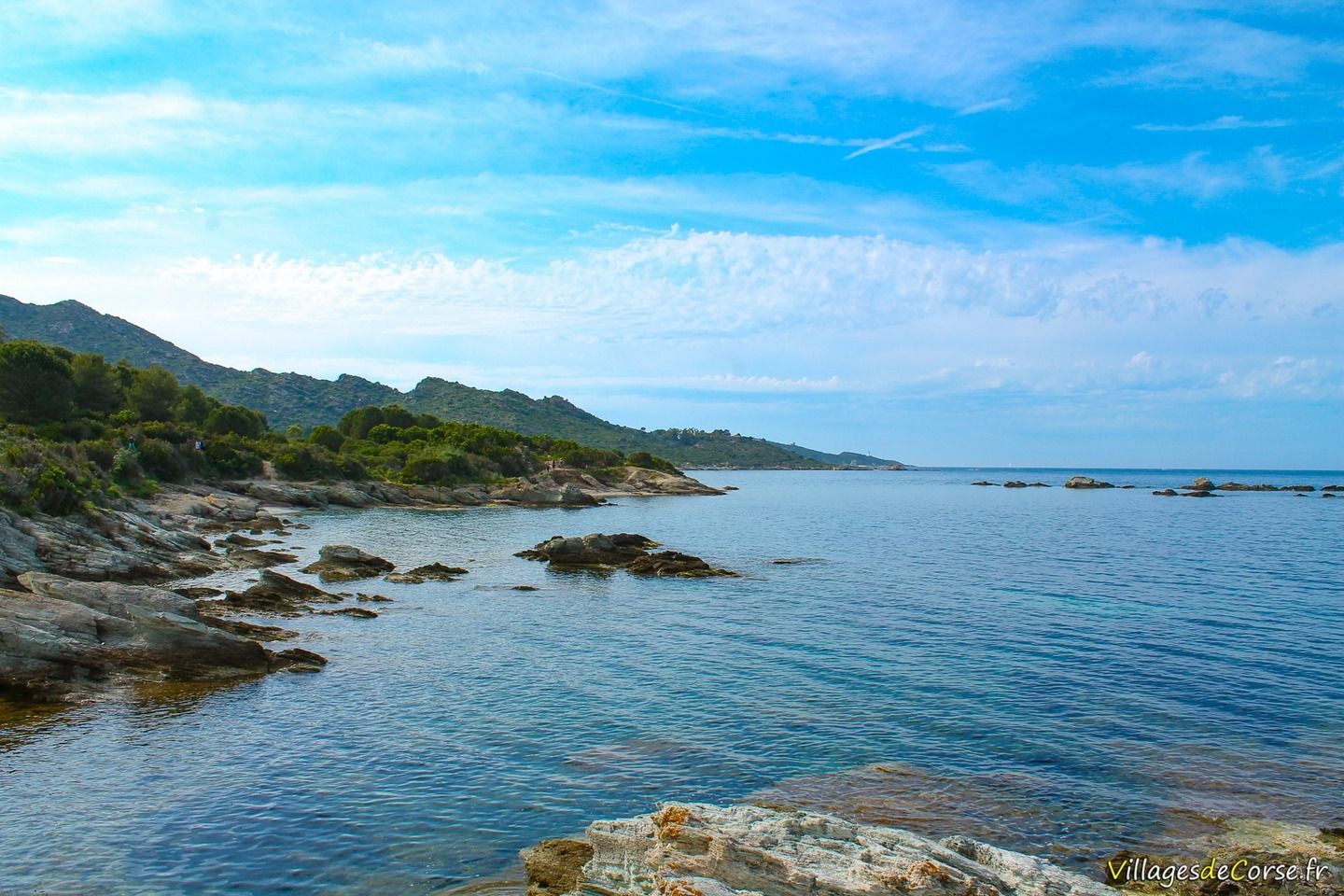
Swimming in creeks
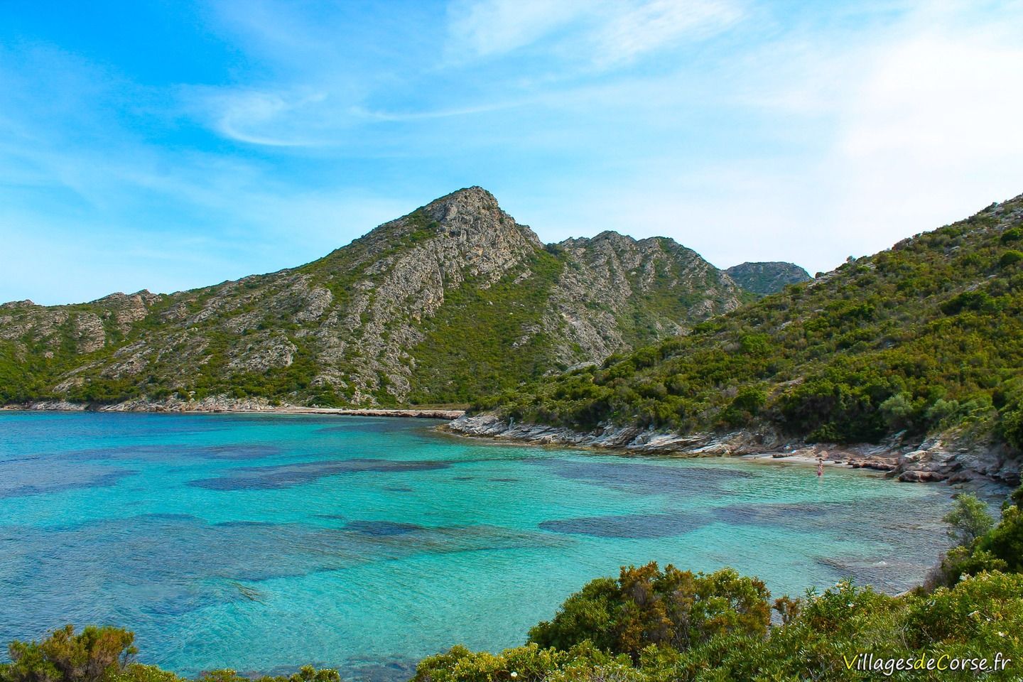
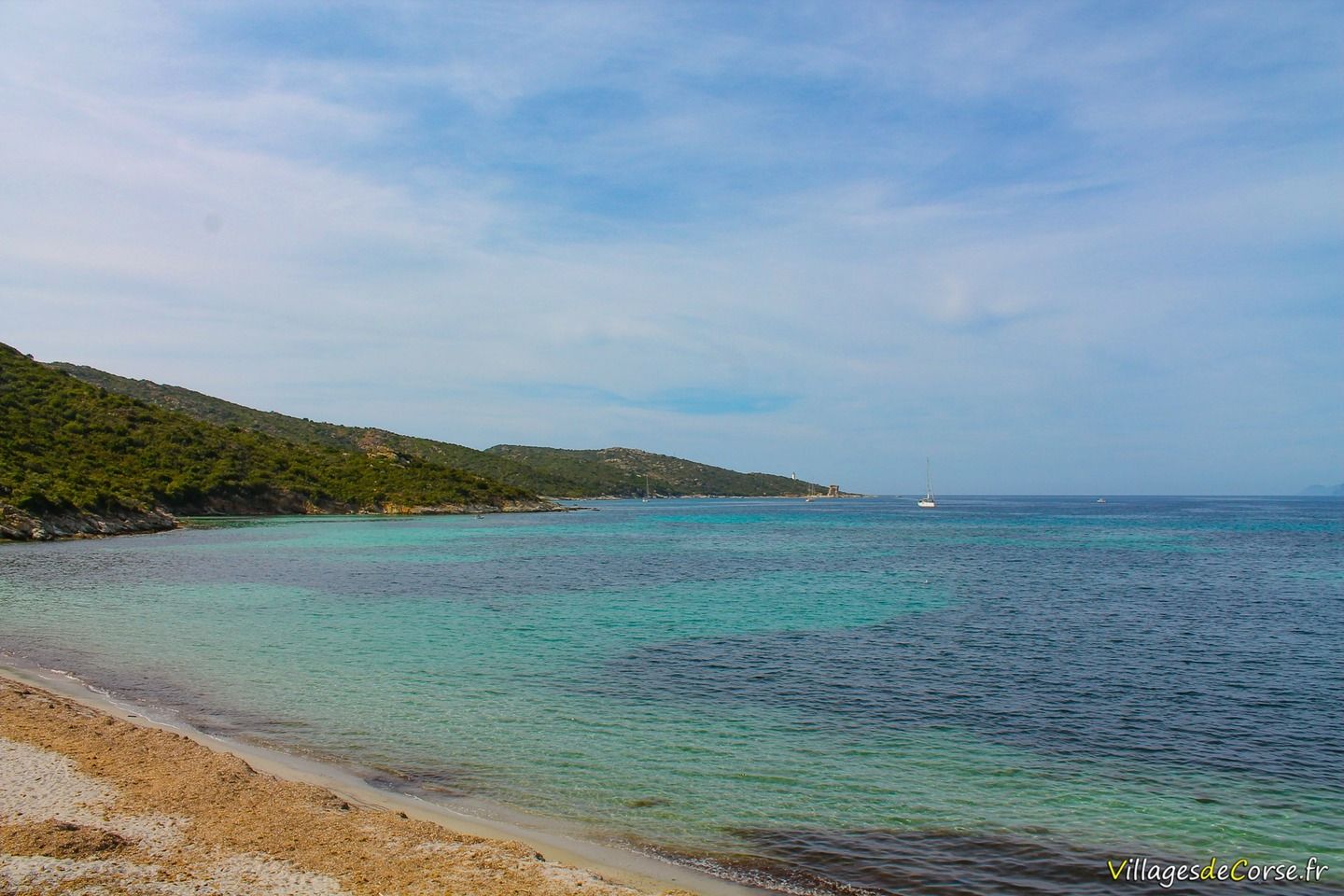
In summer, it's a good idea to bring your swimming costume and towels, as the promenade is dotted with a number of coves overlooking turquoise waters speckled with the dark blue of the seaweed found in the shallows. Beware of jellyfish, which can sometimes wash up on the beaches as a result of sea currents.
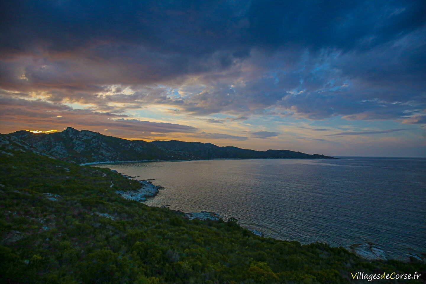
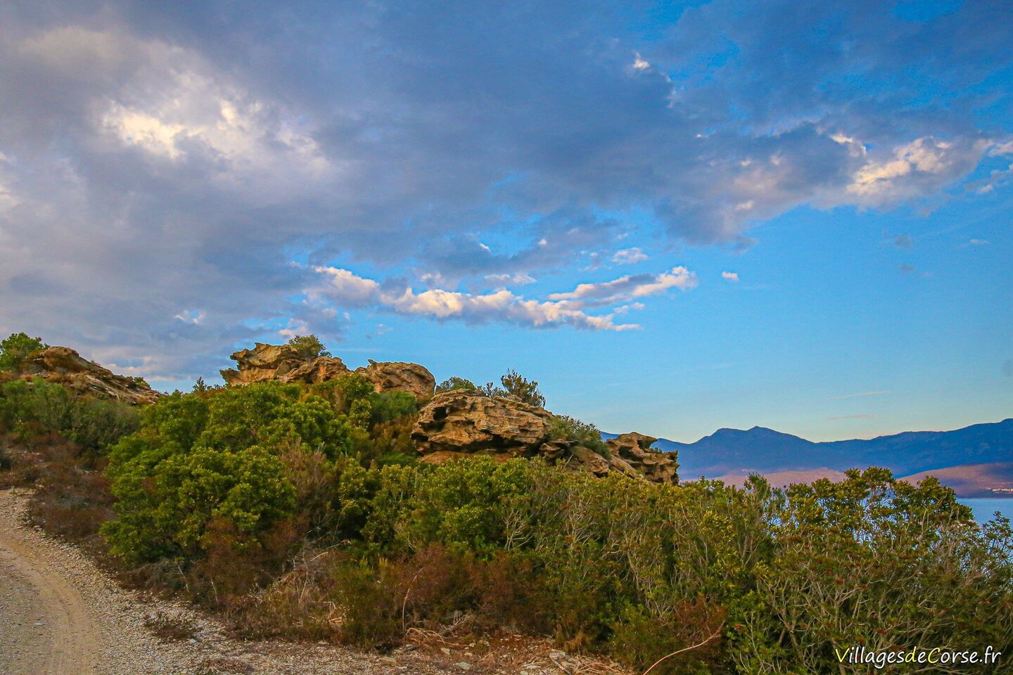
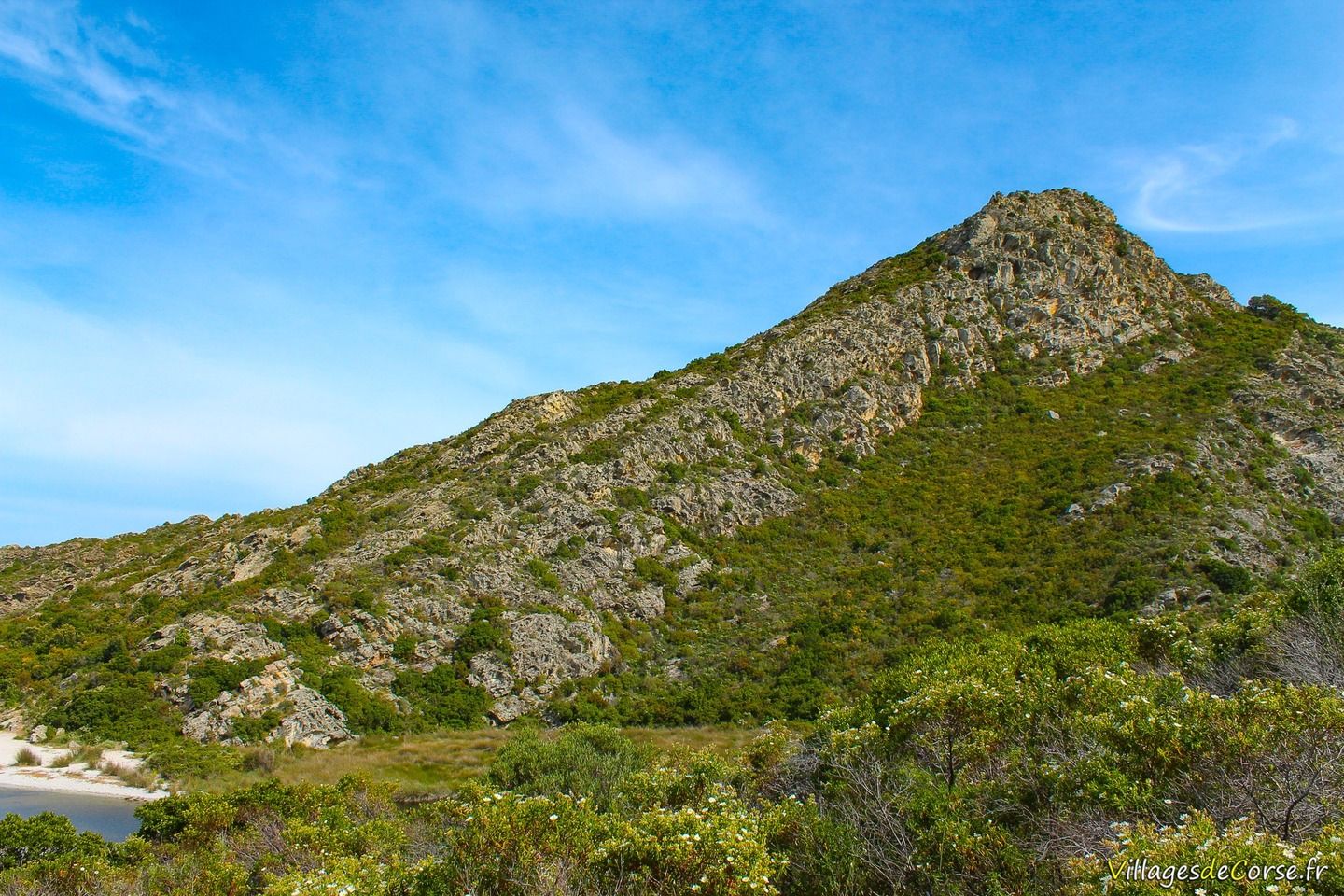
The Agriate desert at dusk
Easy walk
The route is perfectly passable and flat, presenting no difficulties. However, as there is no shade, it requires a lot of water and protection for the head and skin exposed to the sun throughout the expedition.
Bughju and Santu rivers
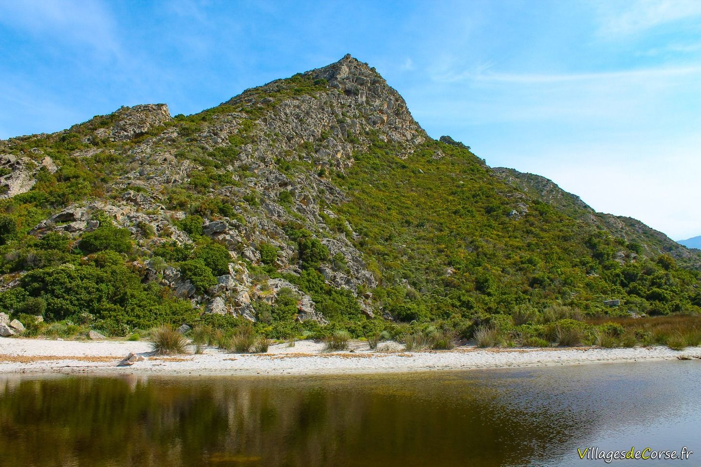
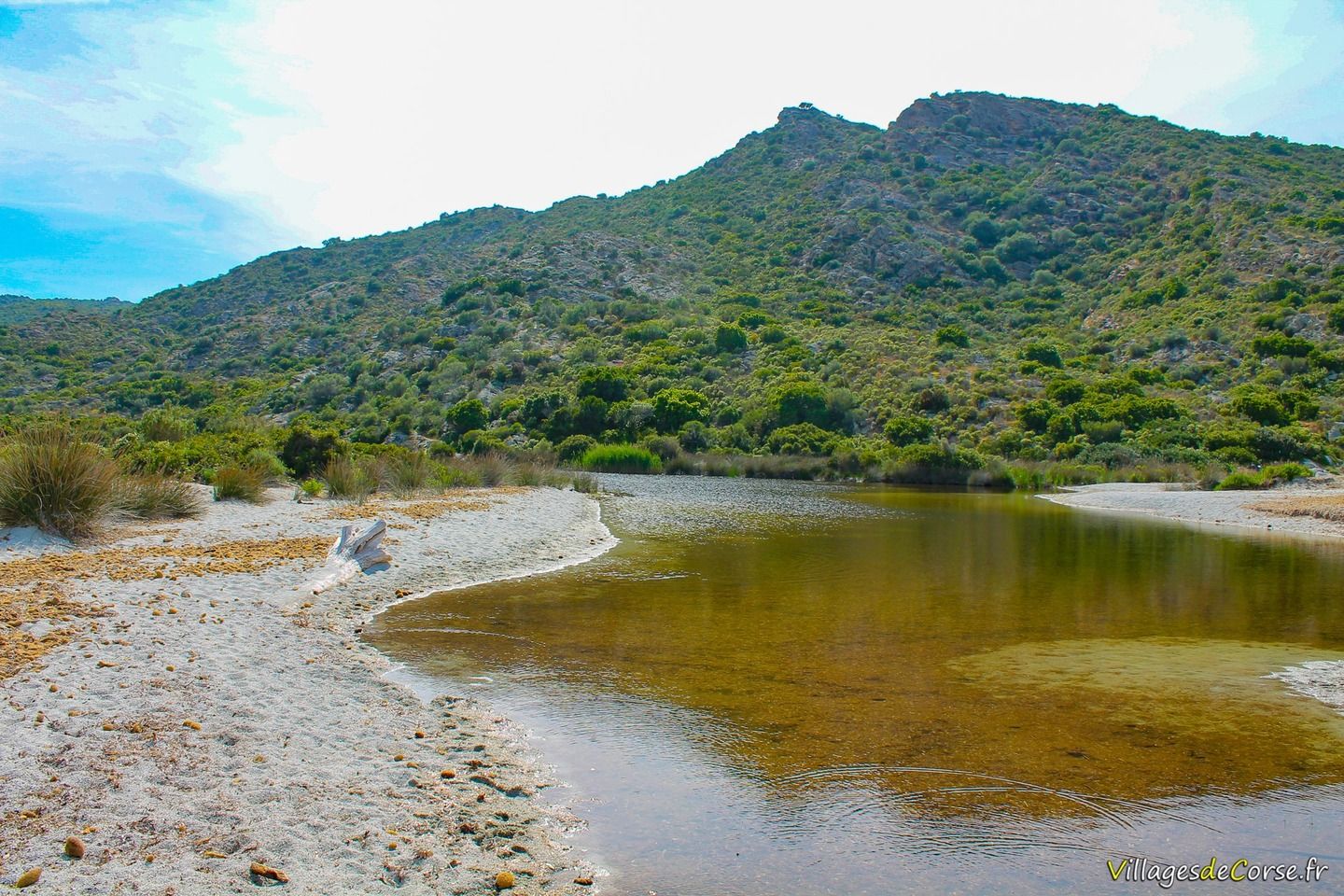
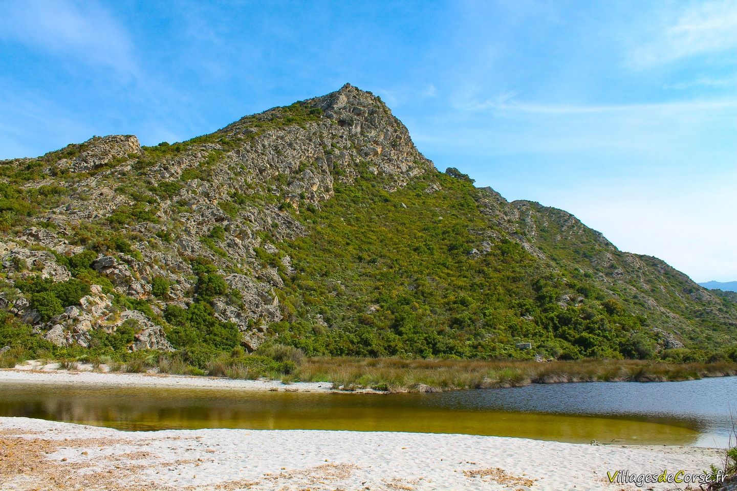
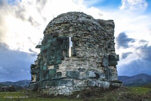
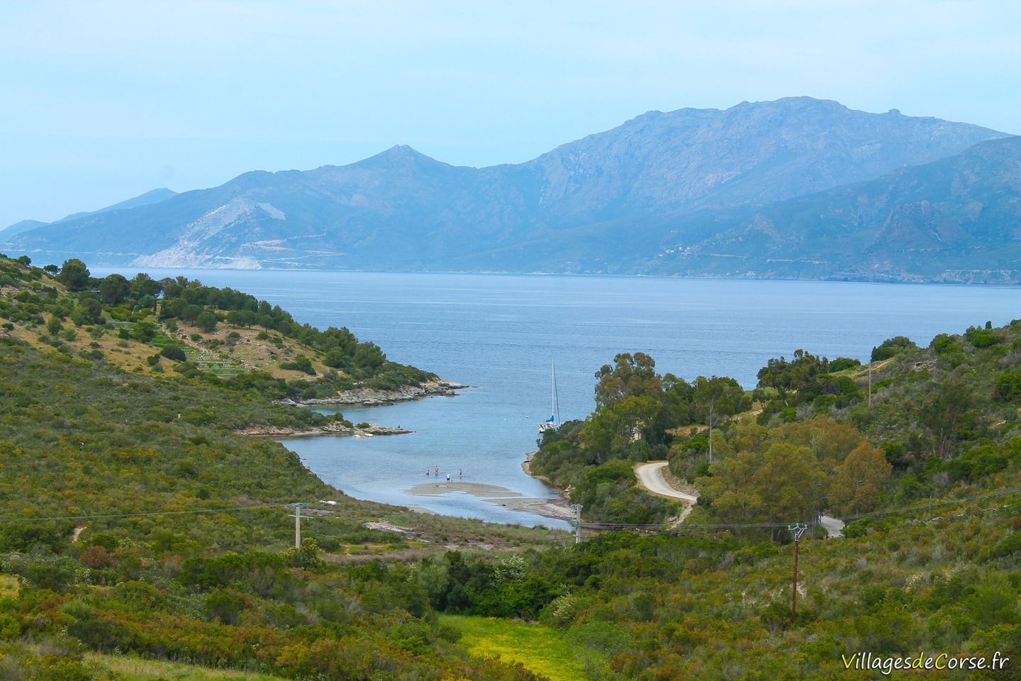
During the walk, you'll cross two rivers that flow into the Tyrrhenian Sea at the foot of the Cima di Castincaccia, starting with the Bughju, which flows under the sand, and then the Fiume Santu, which requires a compulsory water passage to cross this protected site. The Mortella tower stands out from this mouth.
As the route stretches along the entire Agriate coastline, it can be extended as far as the Lotu or Saleccia beach, depending on the walker's preference. For more leisurely family walks, however, it should be segmented according to general fitness.
Departure from Fornali after the Roya
Access to the car park by car
To get to the starting point of the walk, you need to go along the Roya beach, which ends with a bend to the left, then turn right 100 metres further on. From this point, allow around 2km to reach the parking area, where you will change from a tarmac road to a dirt track that can be a little rough. Follow the road as far as a 45° bend on the left, then don't take the first hairpin bend on the right, but the one that follows 400 metres further on, still on your right.
A slightly sloping area of land in the middle of the scrubland serves as a car park. During the summer months, some holidaymakers prefer to park their cars at the start of the track and continue on foot, due to lack of space or fear of damaging their vehicles.
The Fornali cove, the starting point for the hike, is 100 metres below the car park.