Hiking to Monte Aragnascu in Cuttoli Corticchiato
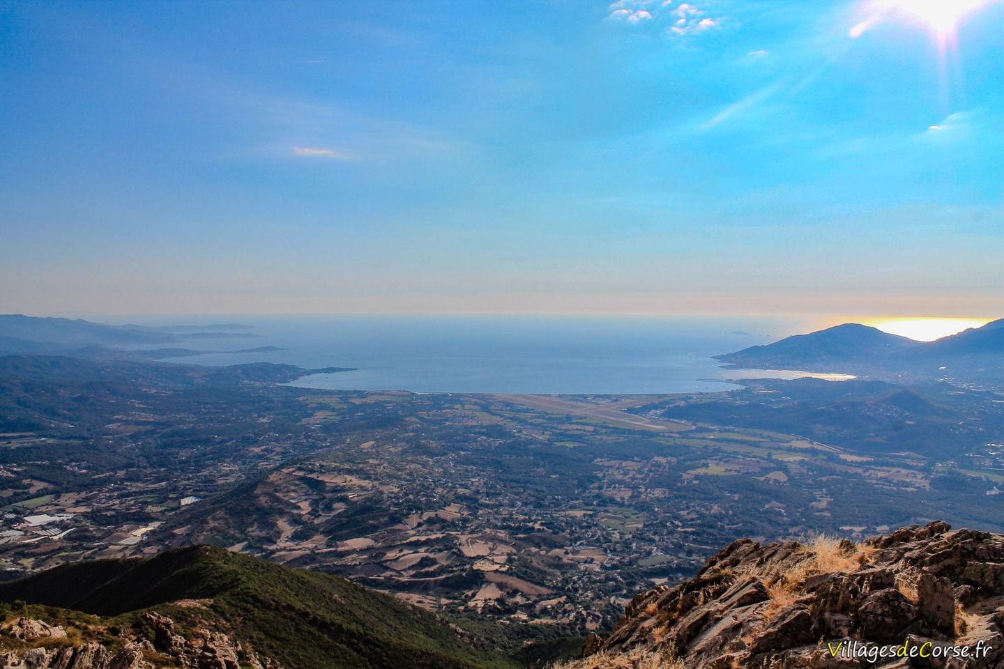
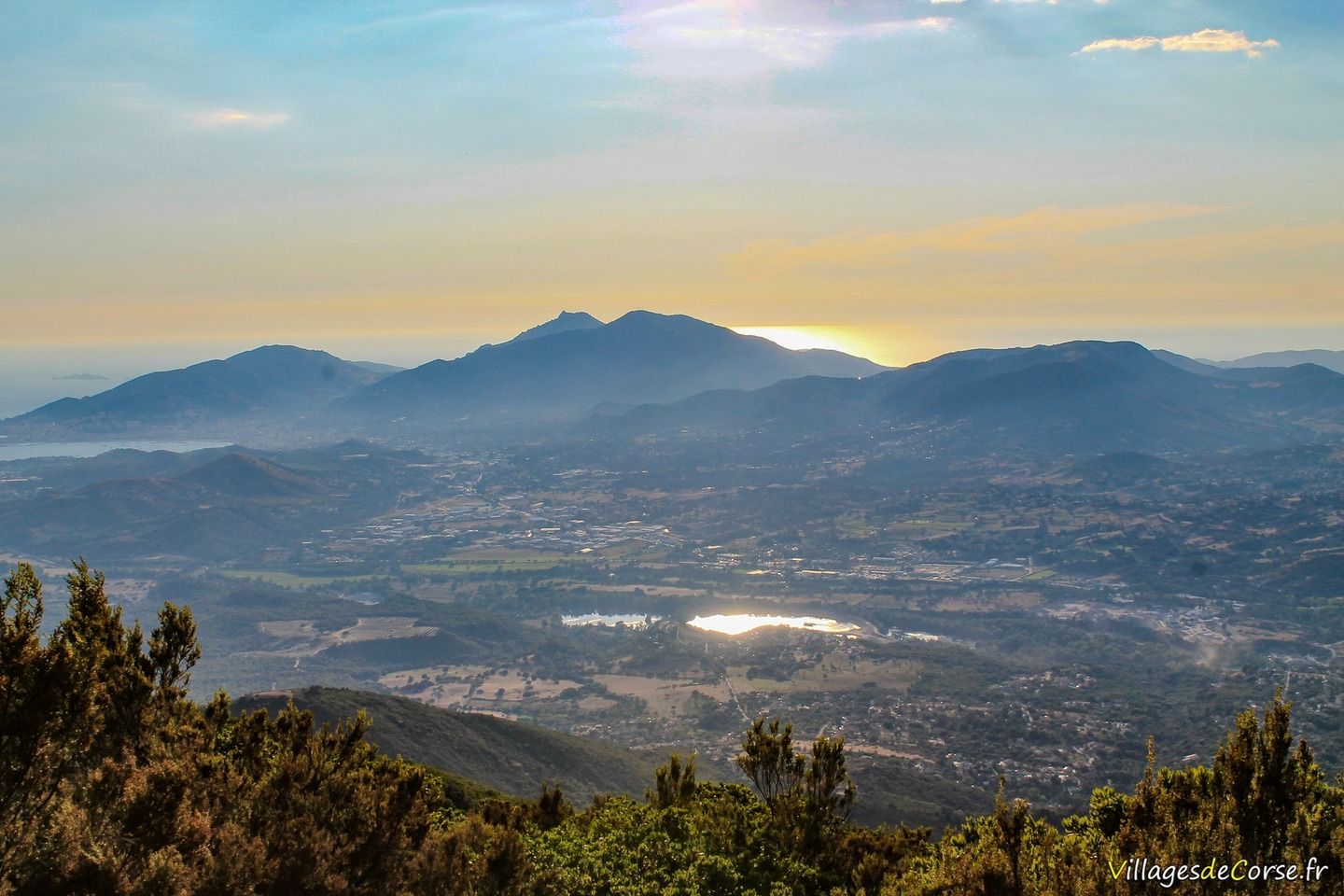
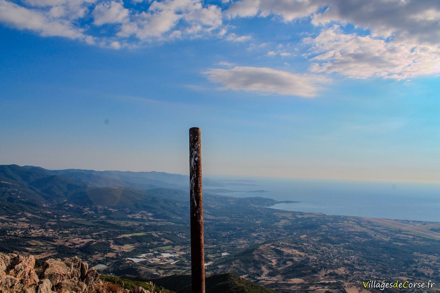
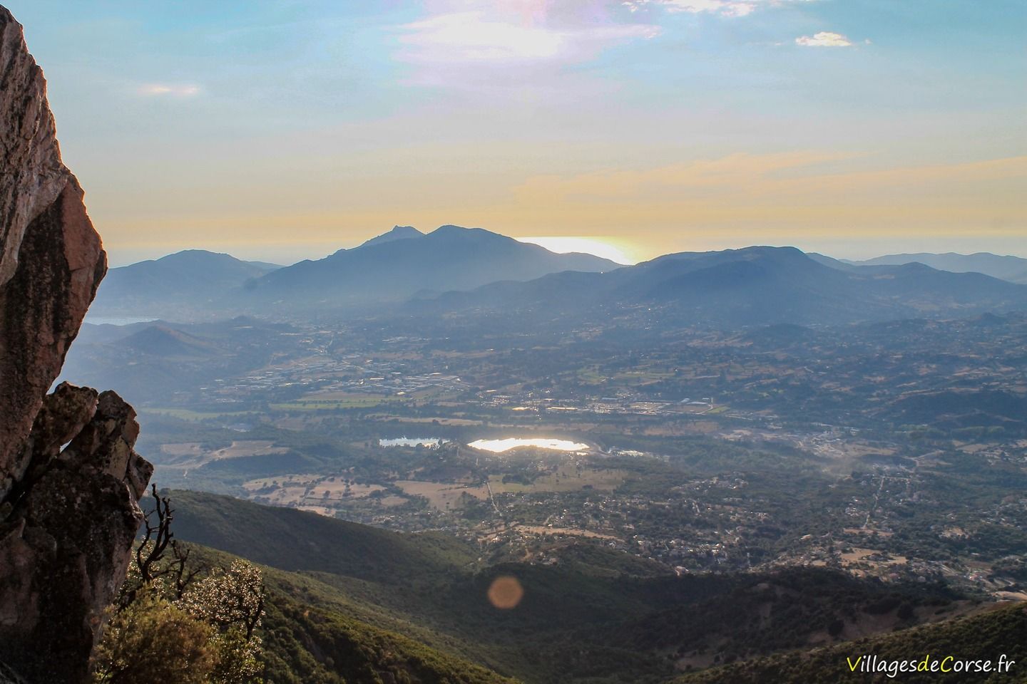
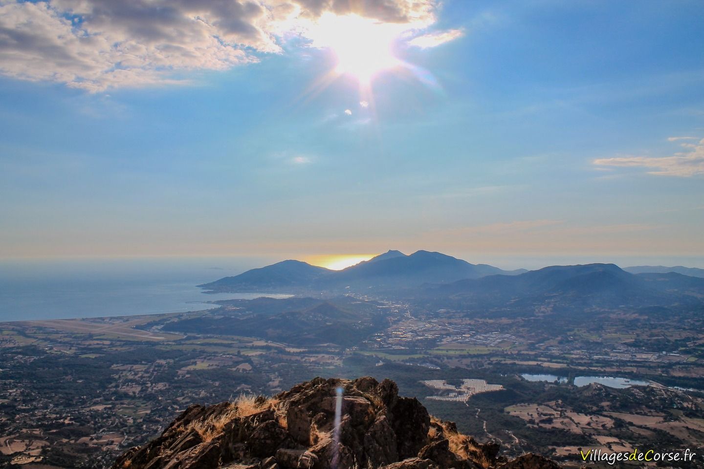
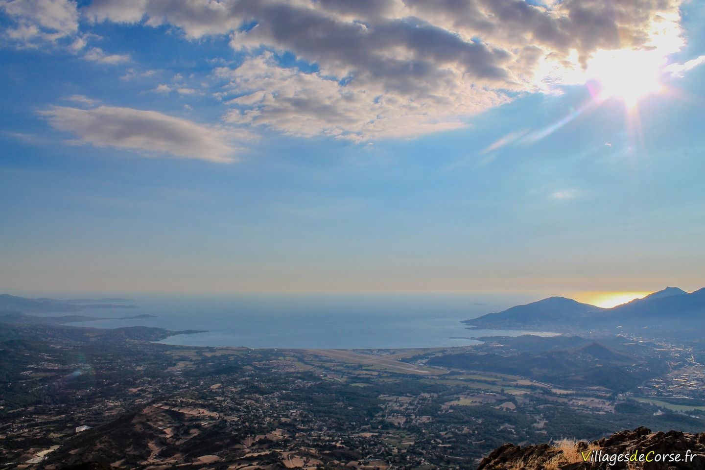
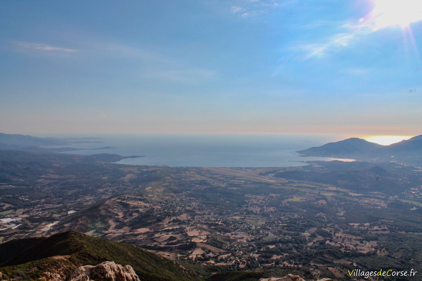
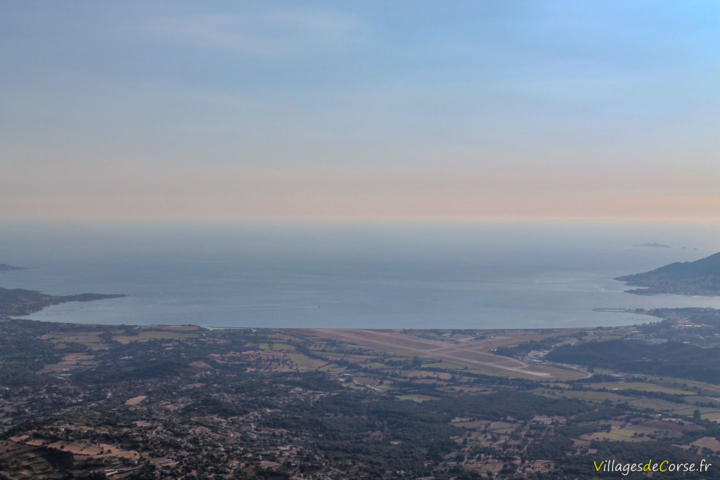
A panoramic view of the Gulf of Ajaccio
The Monte Aragnascu hike begins at the Col San Petru at an altitude of 710 metres, in the village of Cuttoli-Corticchiato in the Prunelli region, 35 minutes from Ajaccio. The circuit is a 2? hour loop walk along the mountain ridge. The access path starts as you descend the pass, just after the house on the right. It is possible to follow other routes, such as the Alcudina path or the Turricedda path.
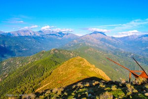
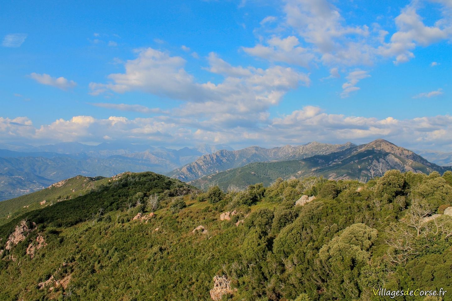
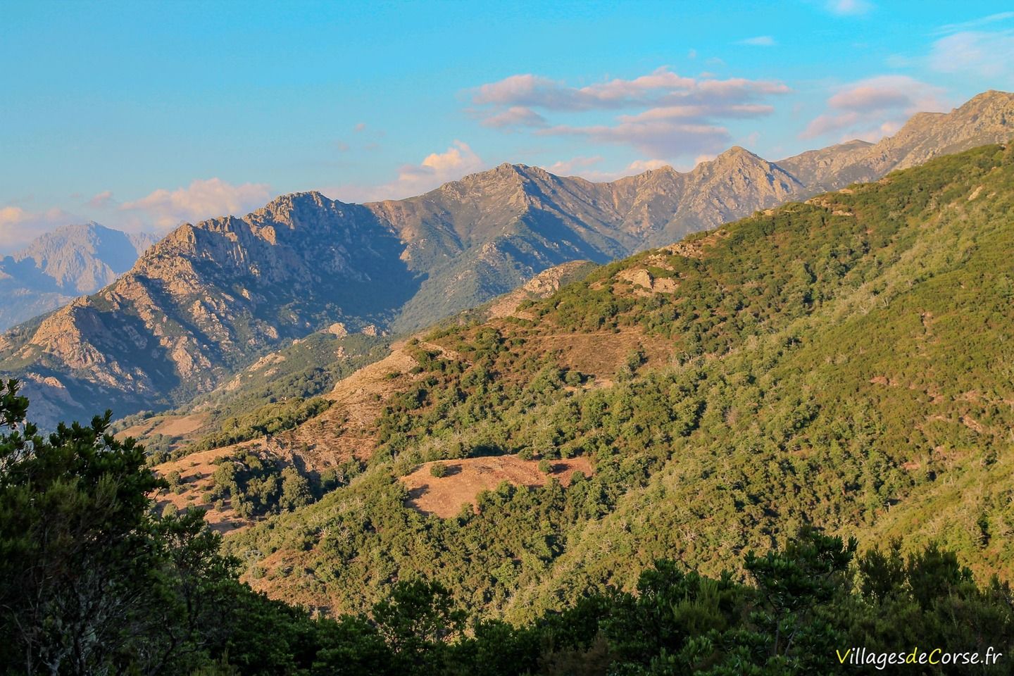
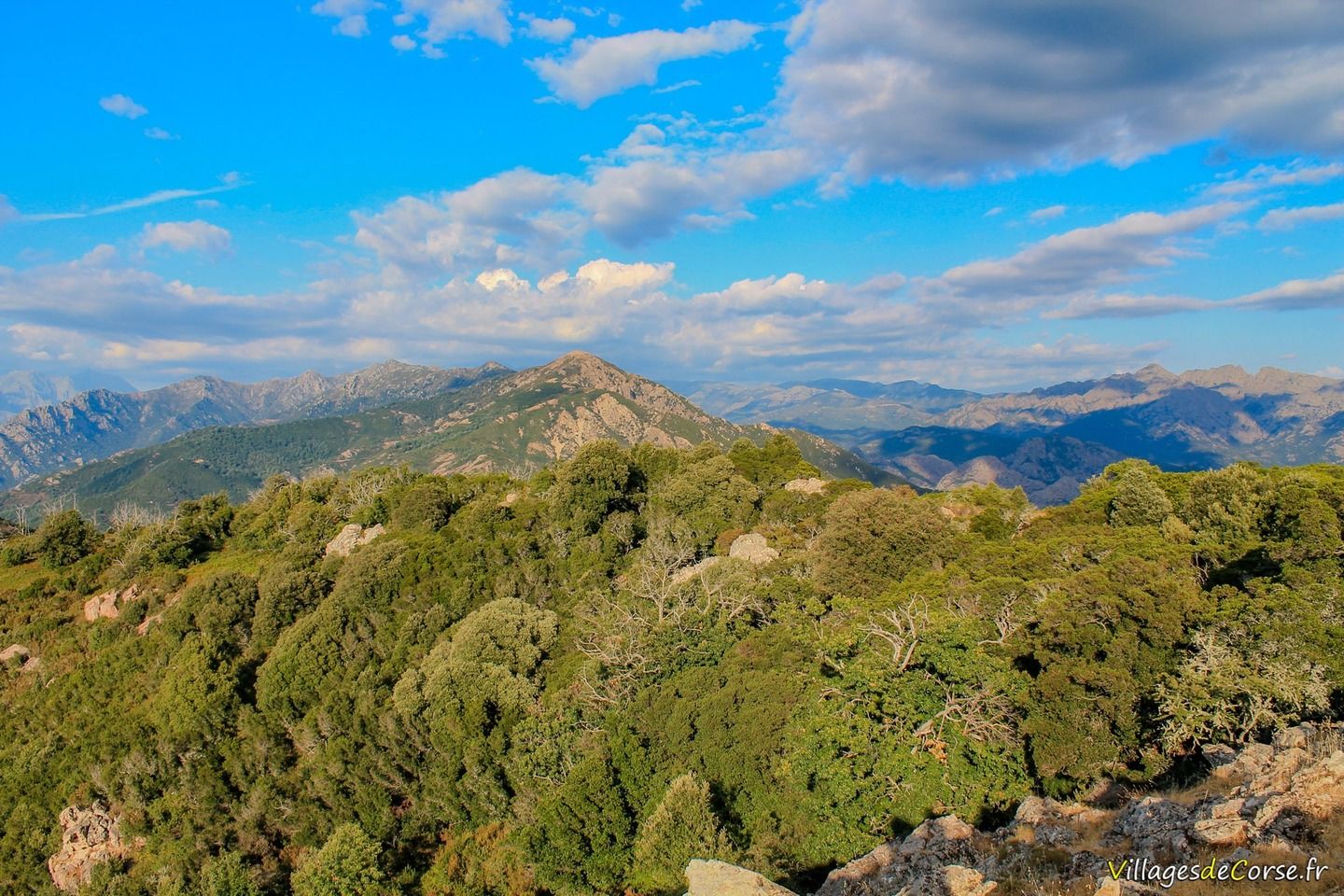
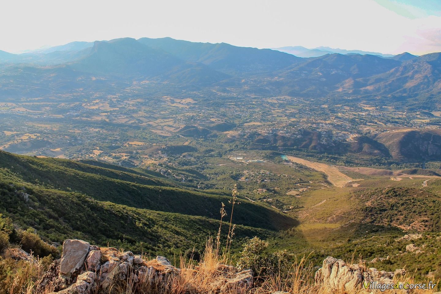
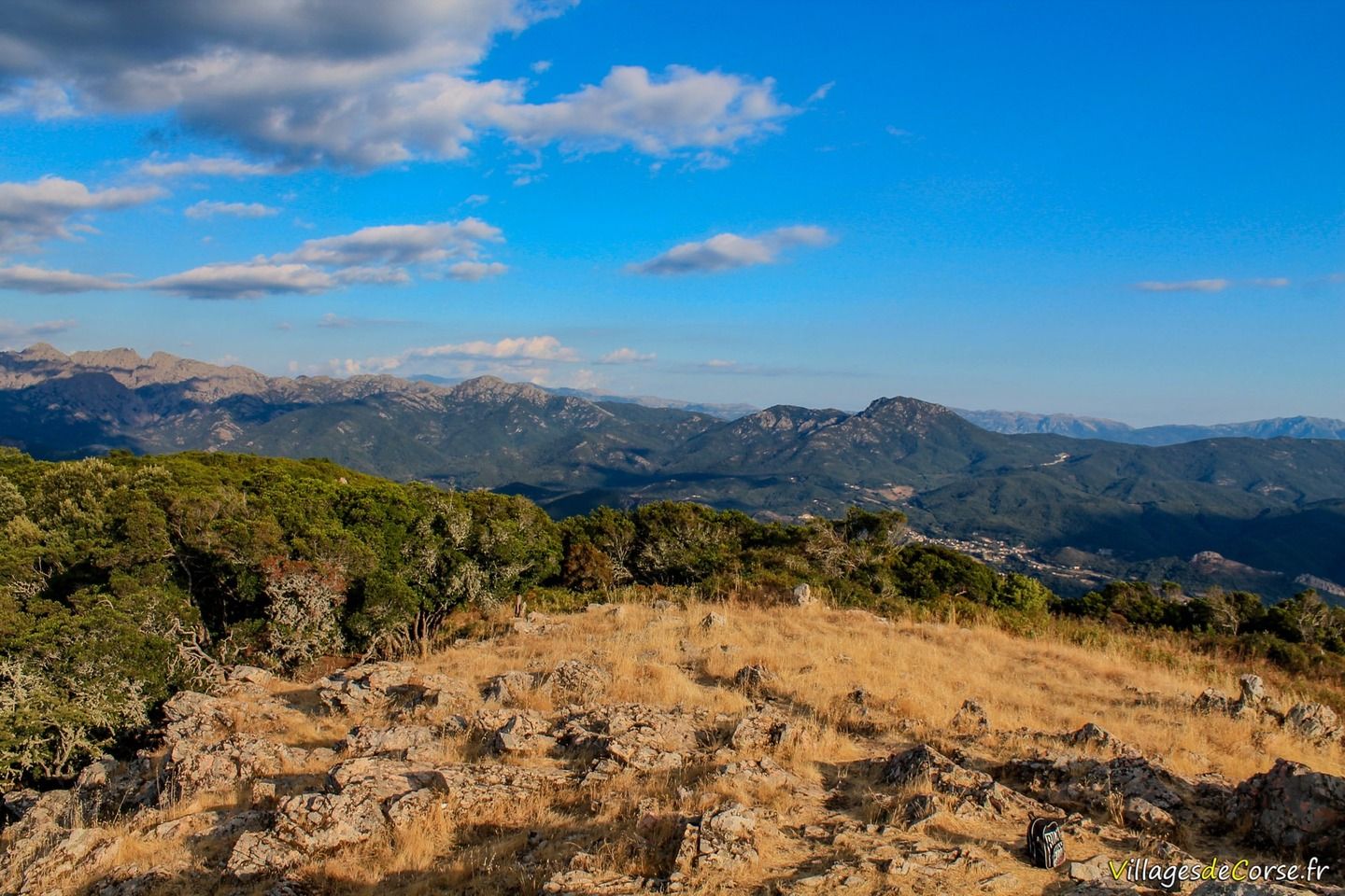
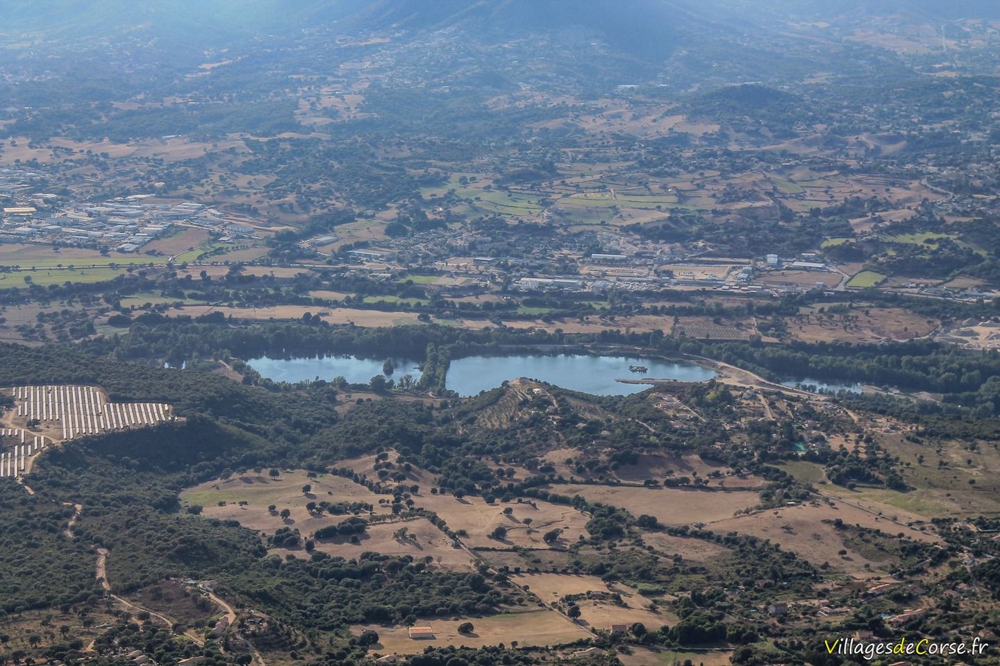
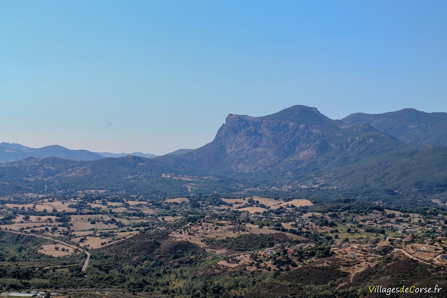
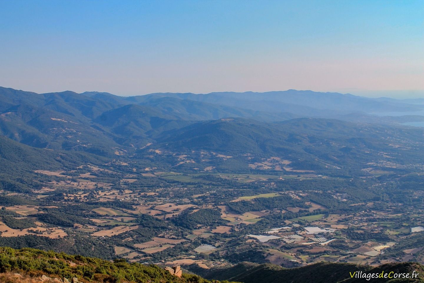
The route to Monte Aragnascu - also known as Monti d'Ignascu - takes you through unspoilt Corsican countryside, chestnut groves and, above all, the reward of the summit. Monte Aragnascu - at an altitude of 888 metres - offers the best views of the Gulf of Ajaccio to the south-west, and the Peri and Afa plains to the west (particularly on the descent).
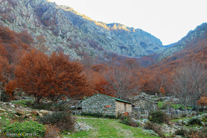
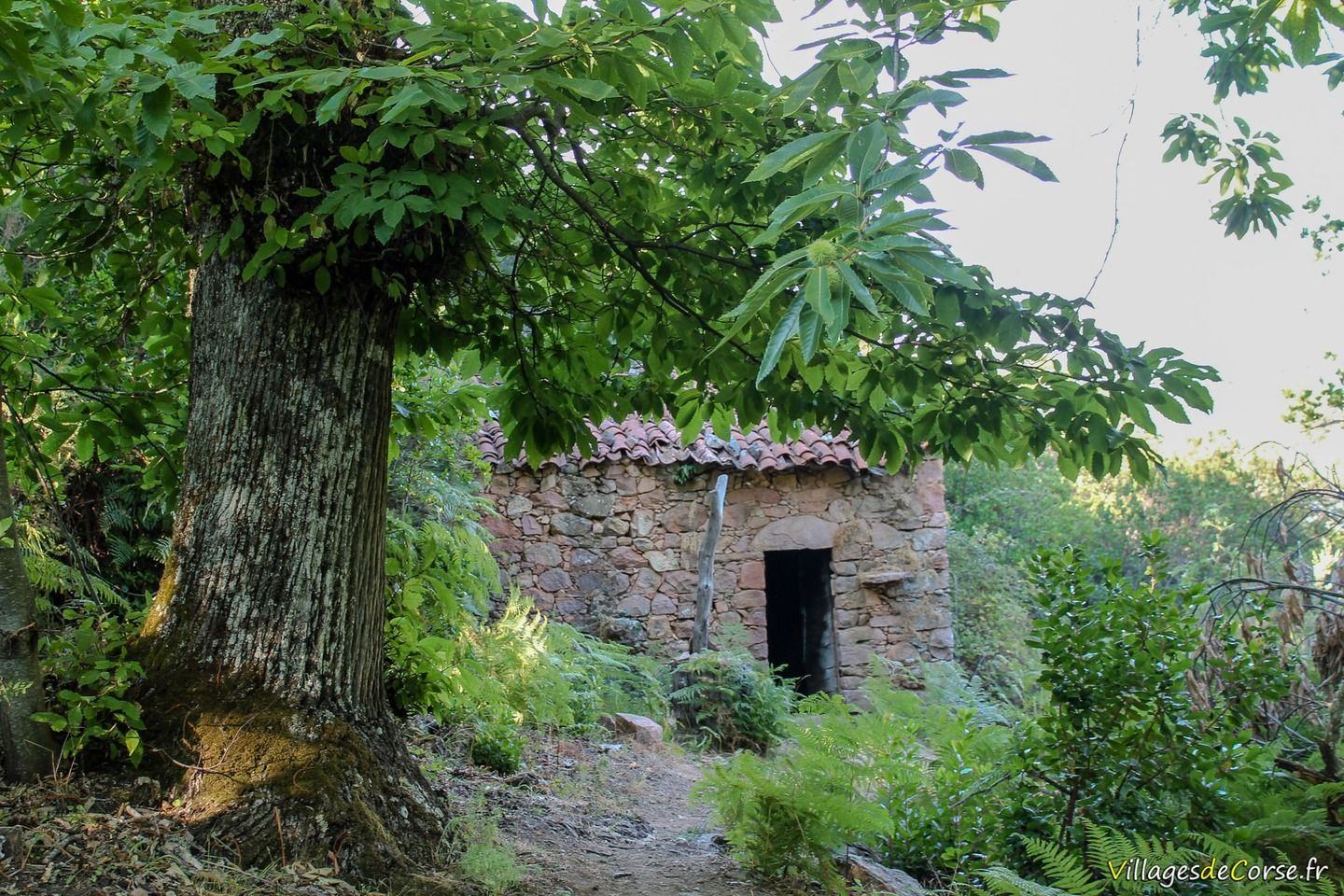
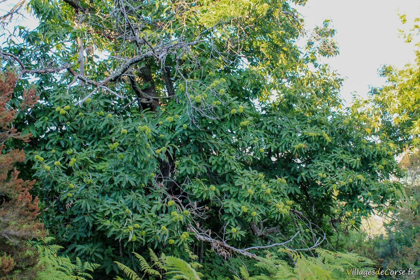
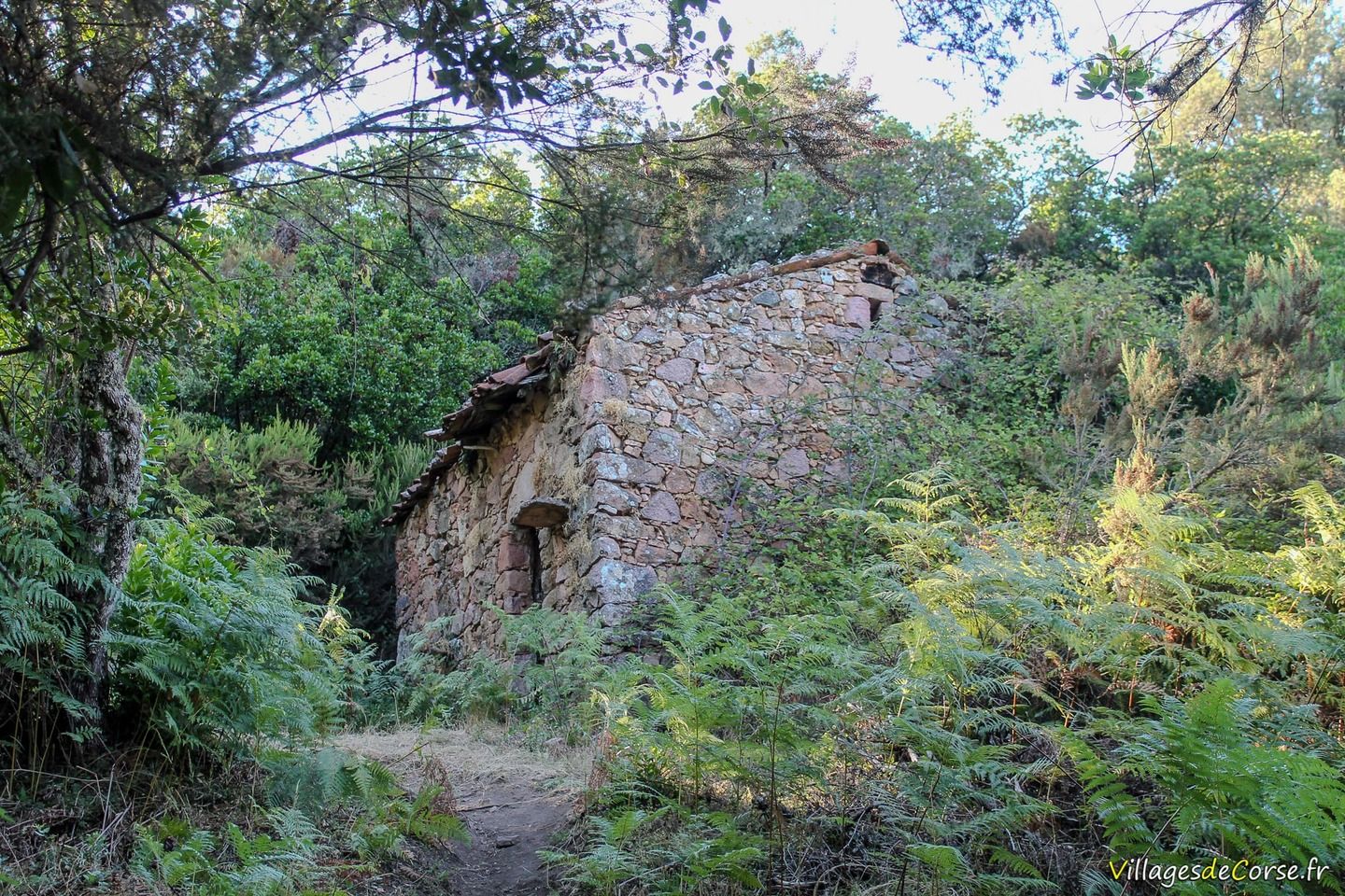
Chestnut trees and old sheepfold
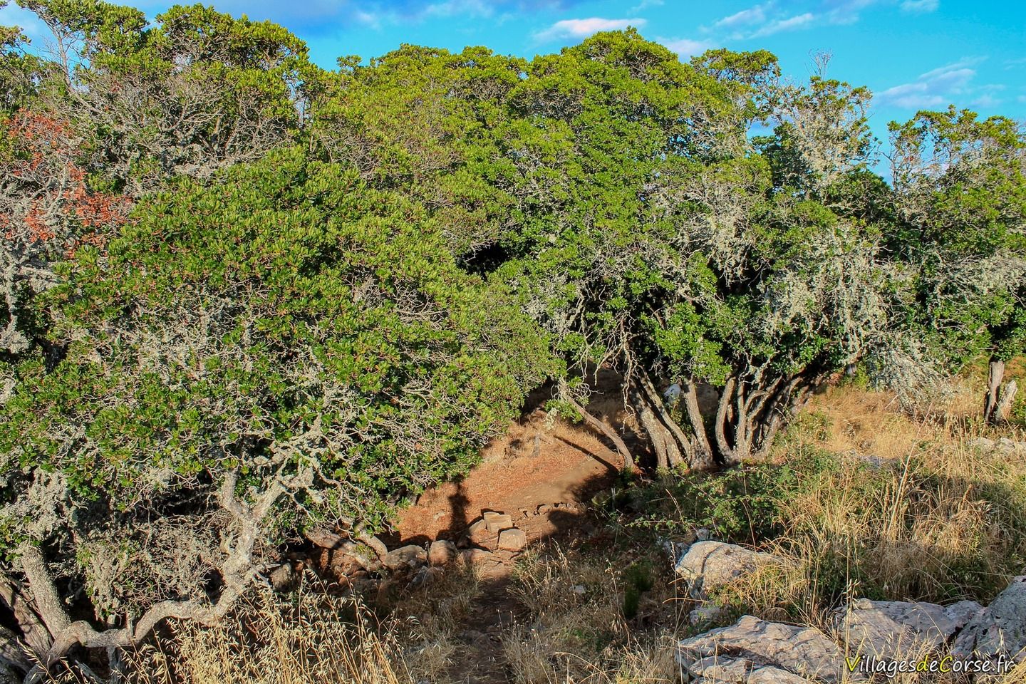
The sometimes narrow path is accessible and well-maintained, crossing ferns and chestnut groves on the way up to the summit of Mount Ignascu.
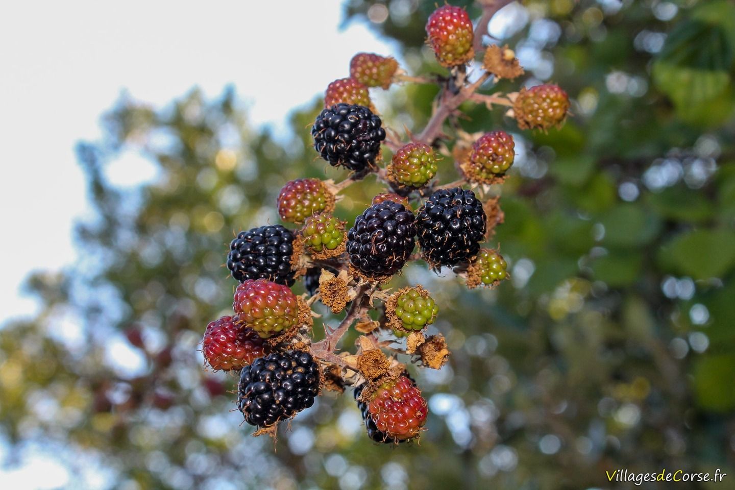
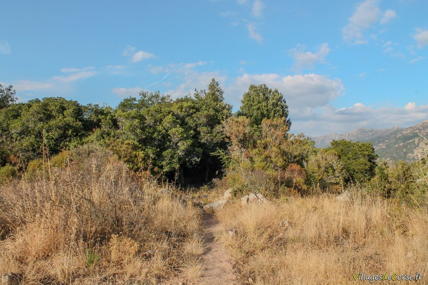
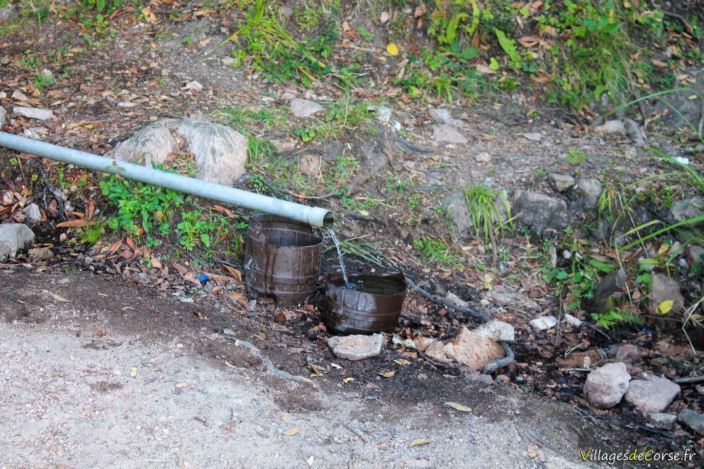
It begins with scrubland, and you come across a few springs at the start, oaks and arbutus, ferns and chestnut trees, as well as a few blackberries if you take it in late summer.
We also come across an old sheepfold on the way up.
Tour difficulty
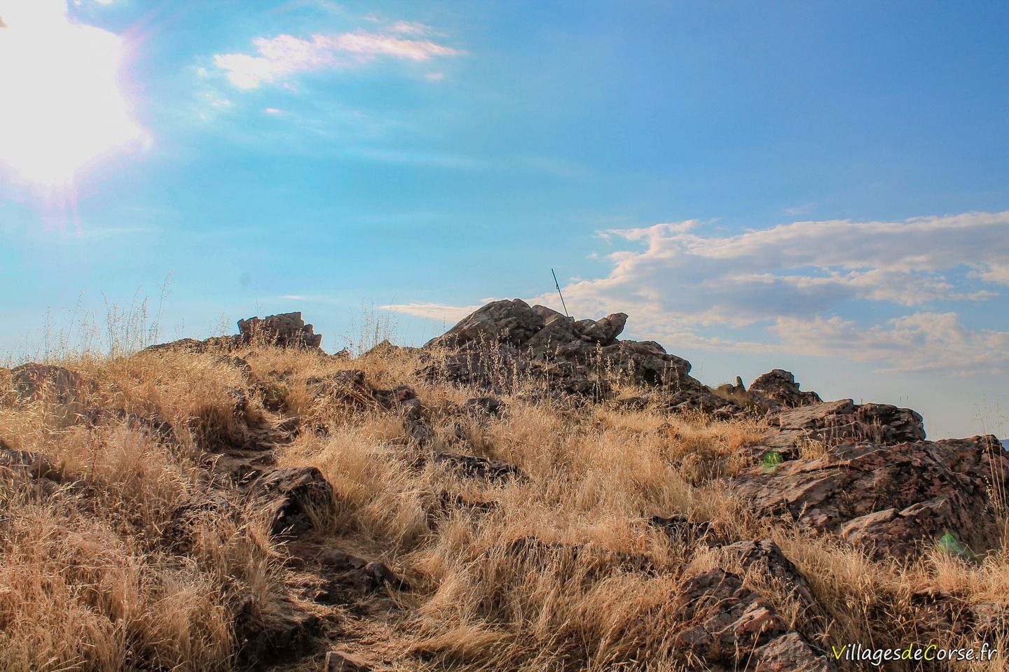
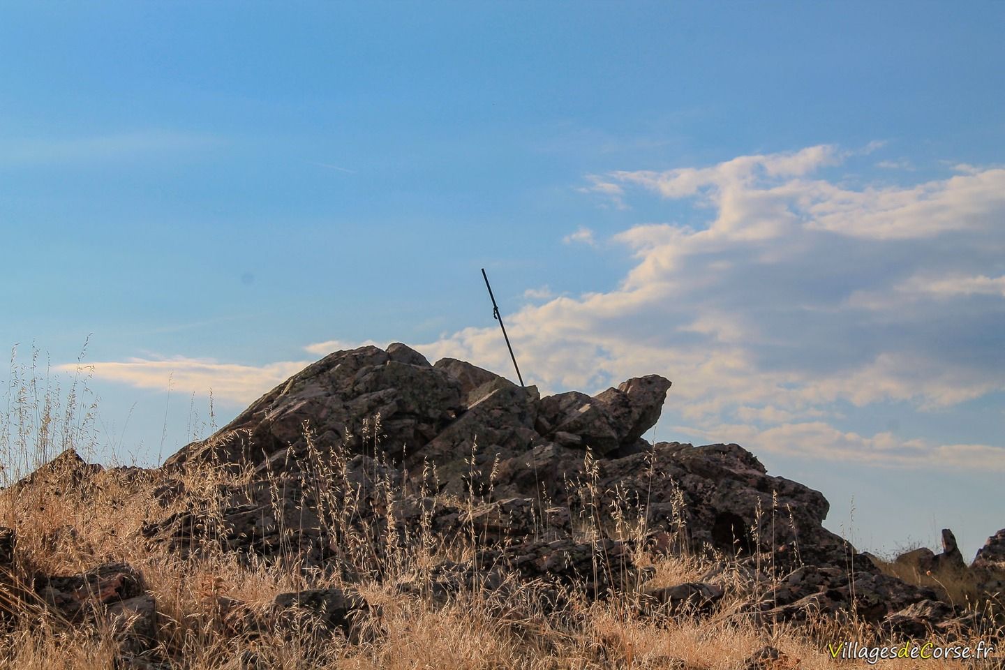
The hike alternates between the flat and the more rugged sections, particularly on the ascent to the summit, which accounts for most of the positive altitude difference (almost 500 metres). On the return leg, after climbing to the summit, the descent is much smoother and therefore less demanding, but more exposed to the sun.
As the route can be difficult, it is not suitable for children under the age of 6 or for those who are ill-prepared. Covering 8km, the loop can be completed in 2? to 3 hours, depending on how long you stop at the summit.