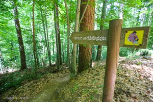
- Hiking
- Centre Corse
- Lacs du Melu et Capitellu
Hiking to the Lakes of Melu and Capitellu in Corte
Access via the Restonica by Shuttle
Walk before/after the Domingos Storm
Before the storm, the level of difficulty to reach Lake Melo was moderate and increased to reach Lake Capitello. The hike is not suitable for young children, as there are rocky sections requiring good footing.
The storm that hit at the beginning of November 2023 has since reshuffled the deck, taking the ascent to the Melo and Capitello lakes from medium to difficult, multiplying the distance by 3 and the altitude difference by 2. It now takes a day to get there, compared with an afternoon in the past. Below is a table comparing the hike before and after the storm:
| Period | Distance | Time | Vertical rise |
|---|---|---|---|
| Before the storm | 5.8 km | 3h30 | 544 m |
| After the storm | 18.22 km | 8h25 | 1123 m |
Bergeries de Grotelle, former starting point
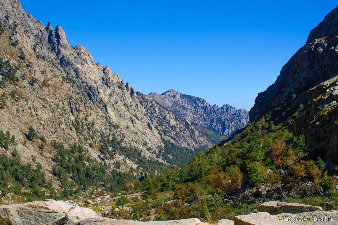
The old starting point (before the storm) was just over 10km from Corte by car, up the Restonica valley through the pines to a dirt car park at 1384 metres altitude.
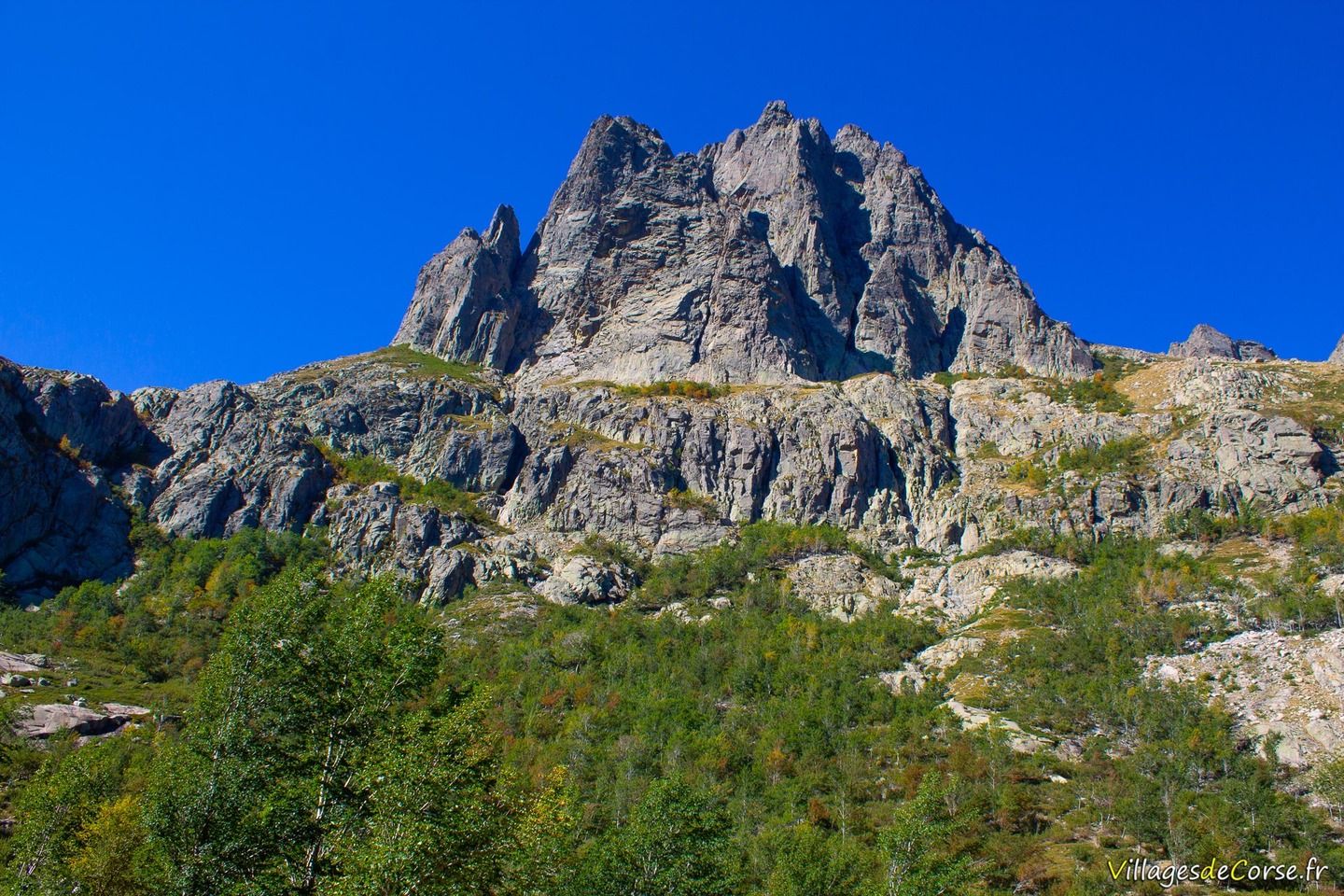
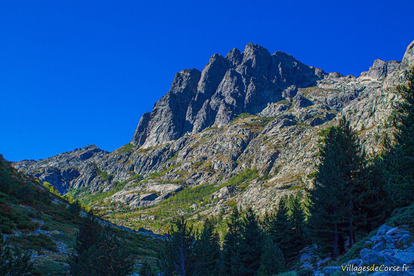
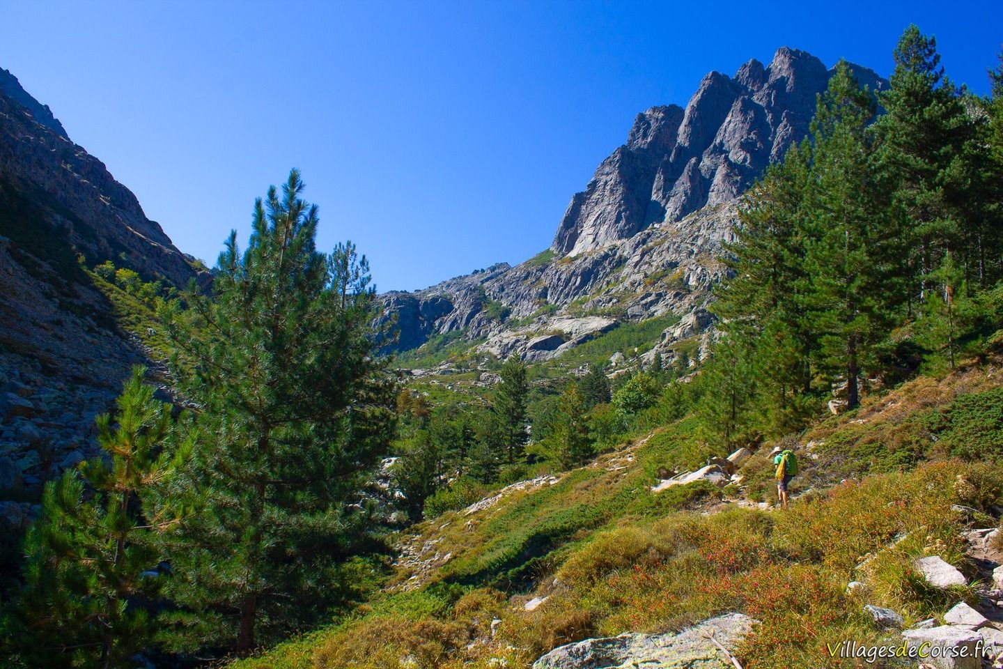
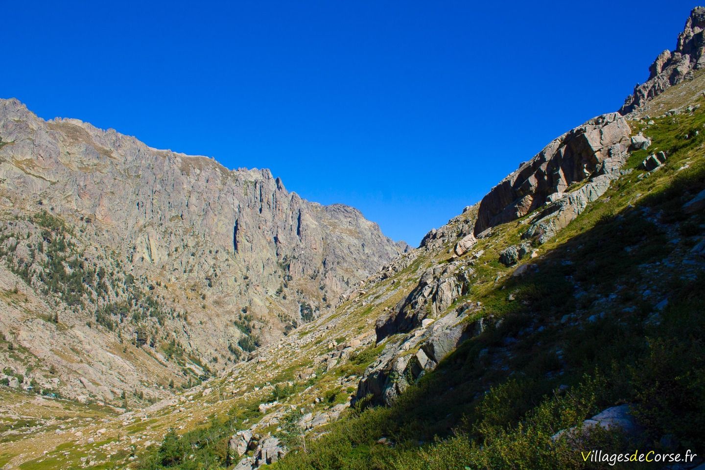
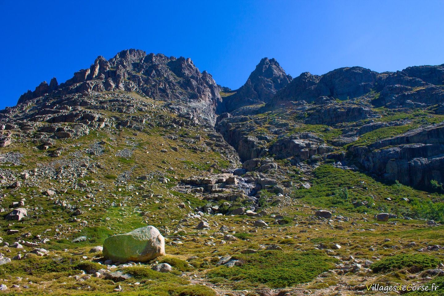
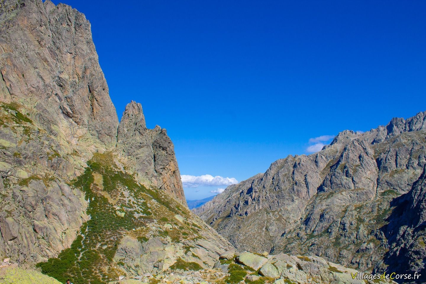
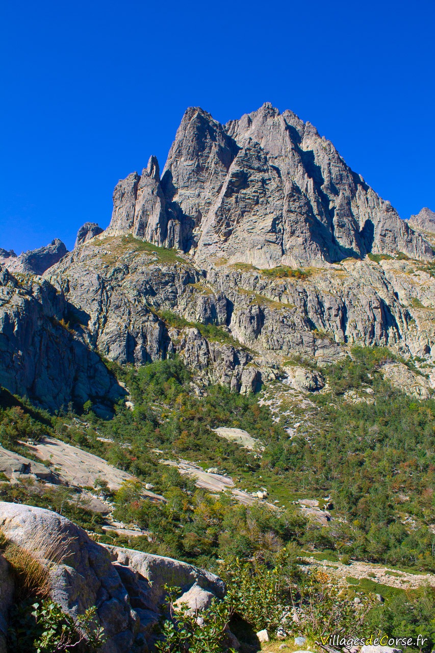
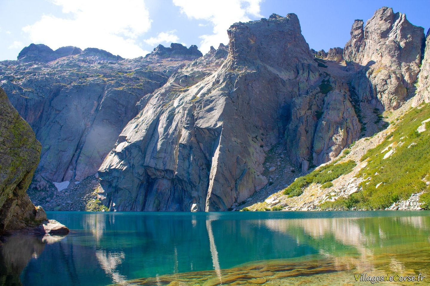
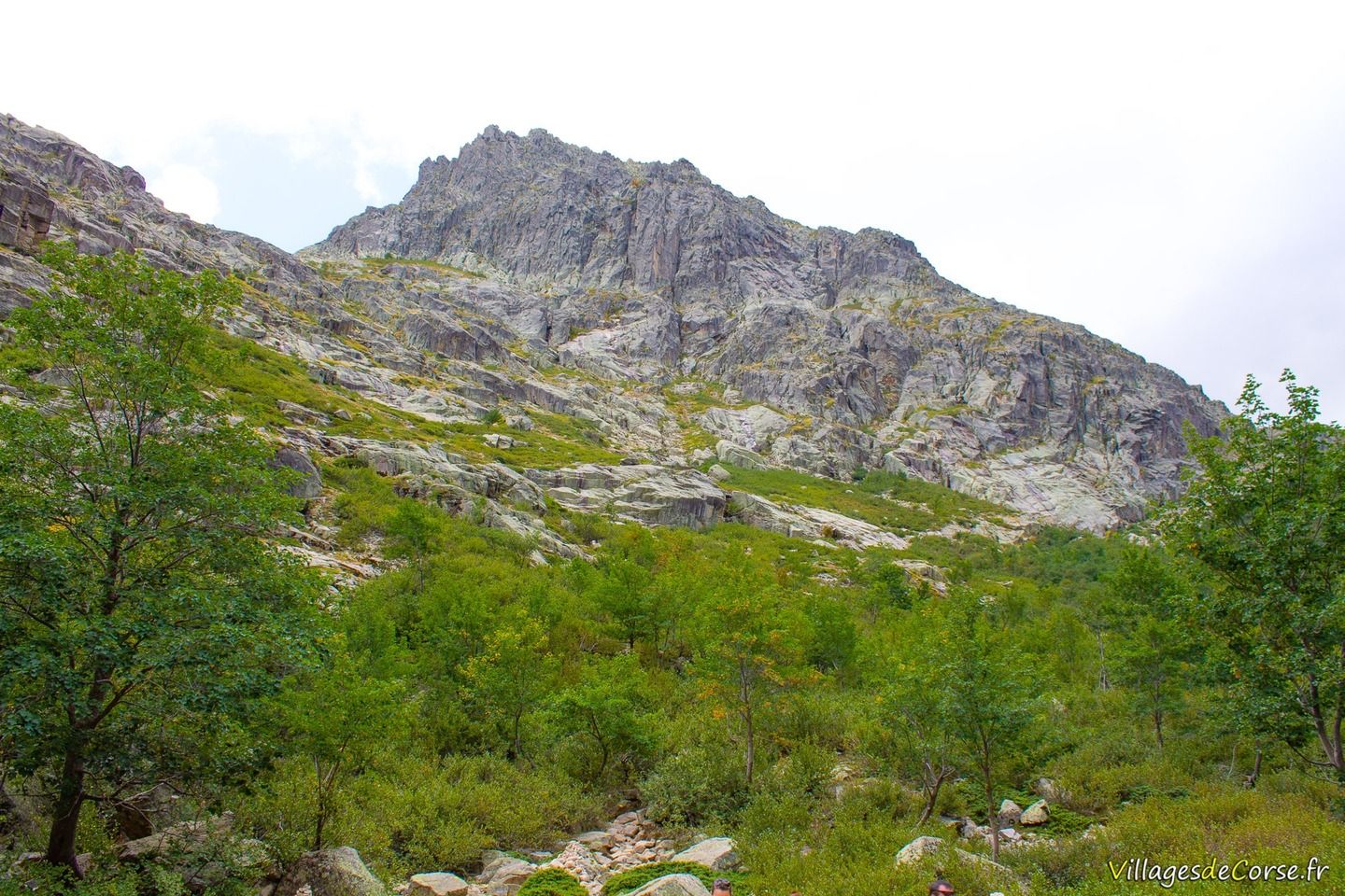
You'll pass a sheepfold, and then have to climb back up to the river's headwaters, where the ground is clear, soft and pleasant. At the top of the valley, you'll see Lombarducciu, a rocky peak that rises to 2,268 metres above sea level and overlooks the Melu and Capitellu lakes.
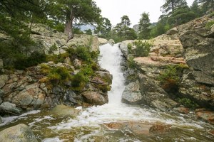
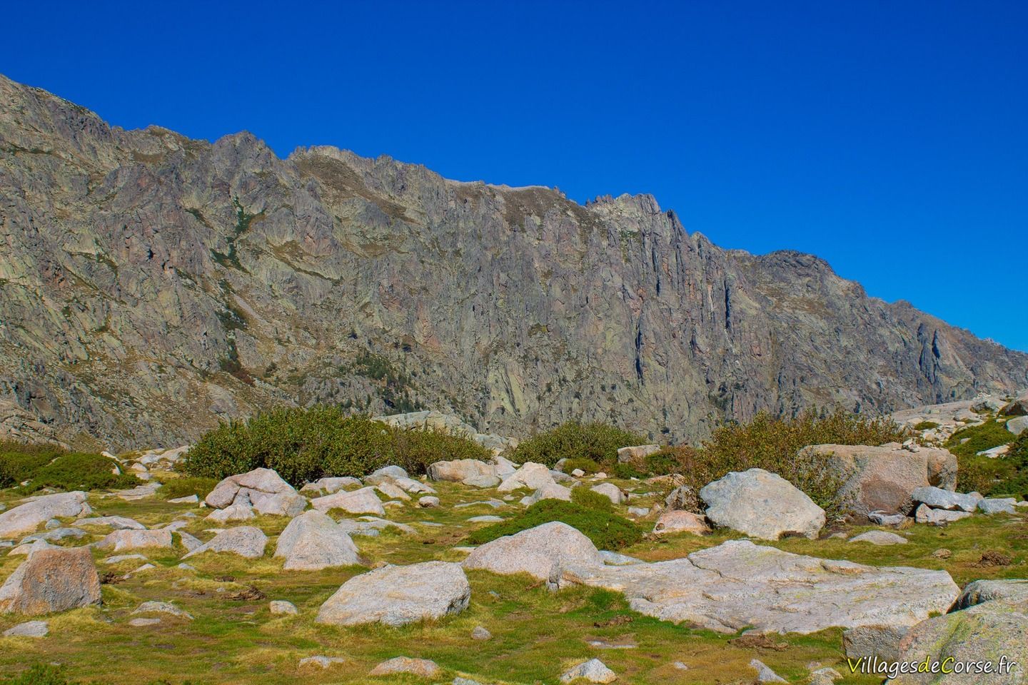
The valley, made up of clusters of pine trees and rocky outcrops, is dominated by the remarkable peaks of Melu and Capitello. Just a few metres below, the river flows almost the entire way up to Lake Melo.
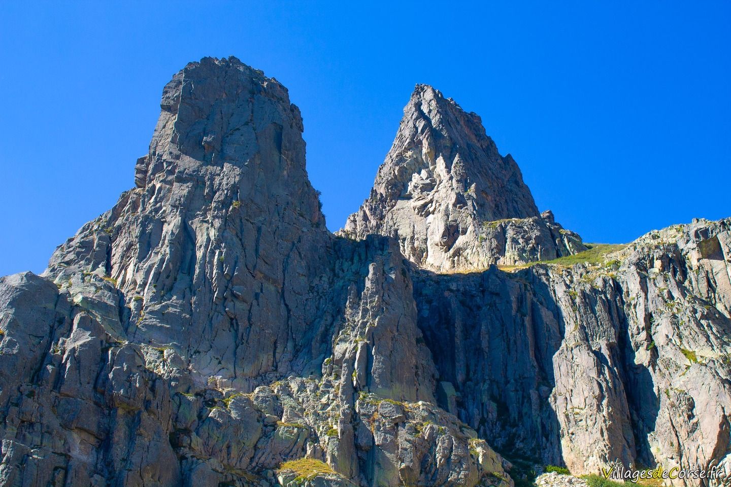
The Lac de Melu hike is coupled with the Capitellu hike, as the two lakes are only 700m apart as the crow flies, just under 1km of walking. The Capitellu hike is also the most demanding and technical, with an ascent of 200 metres right on the rock.
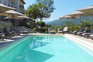
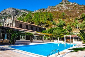
On-site accommodation
Leaving the centre of Corte and heading up the valley, you will pass the Auberge de la Restonica hotel-restaurant on the banks of the river, which serves lunch and dinner except Mondays, and has a large swimming pool. You can also get all the information you need about hiking in the valley at the 3-star Hotel Si Mea, which also has a swimming pool and is located at the northern entrance to Corte.
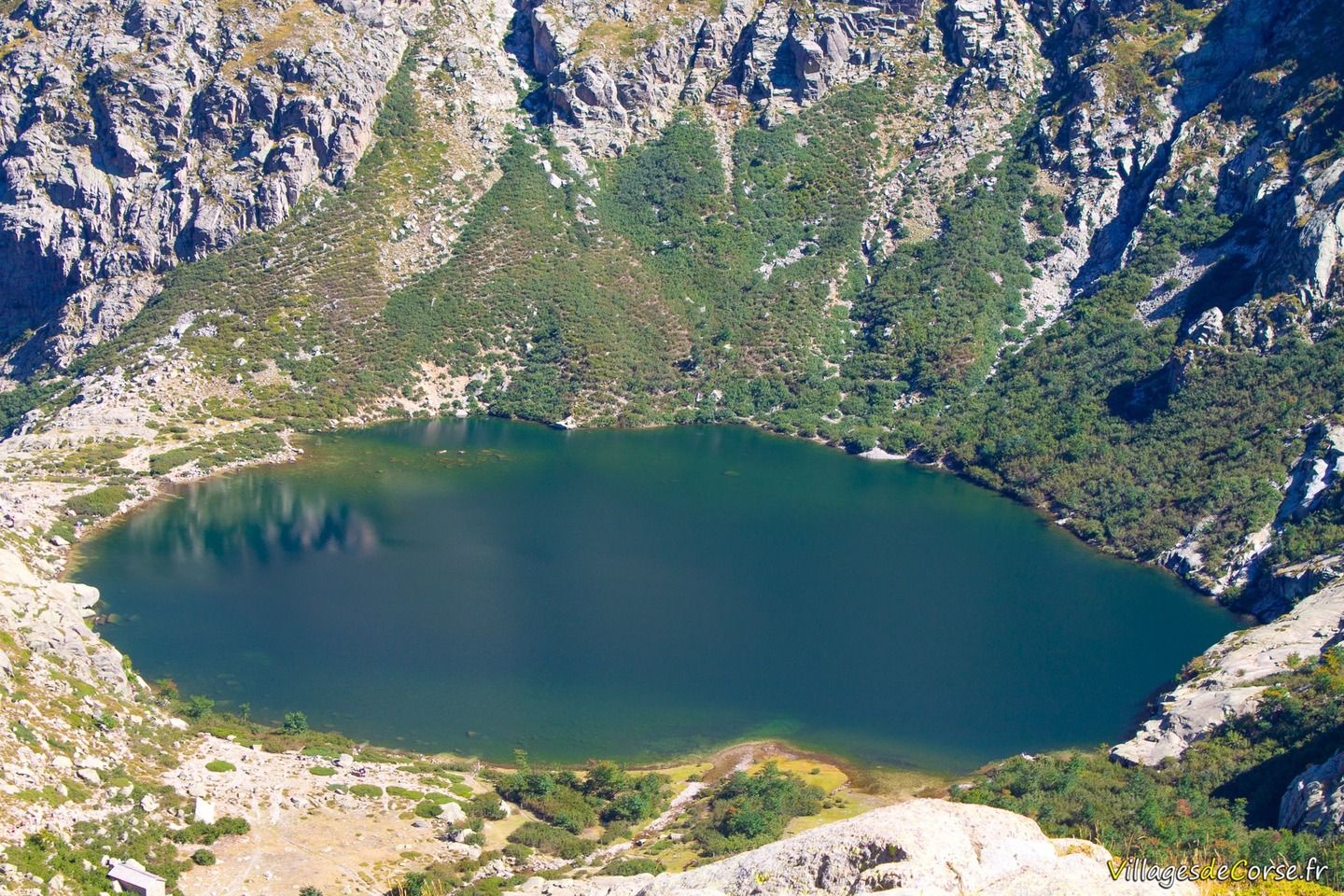
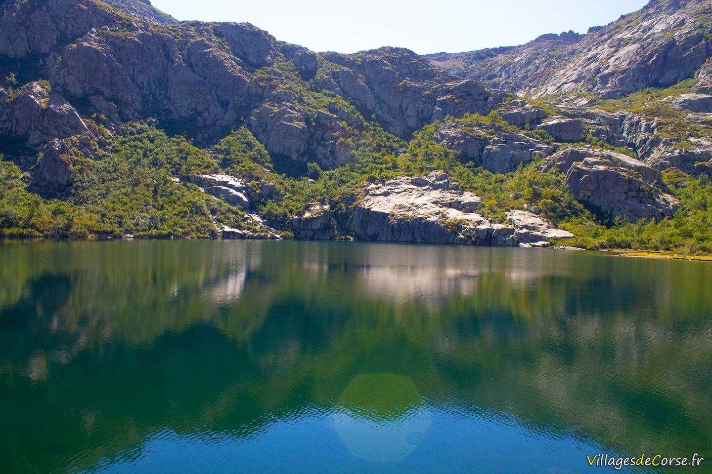
Lake Melo
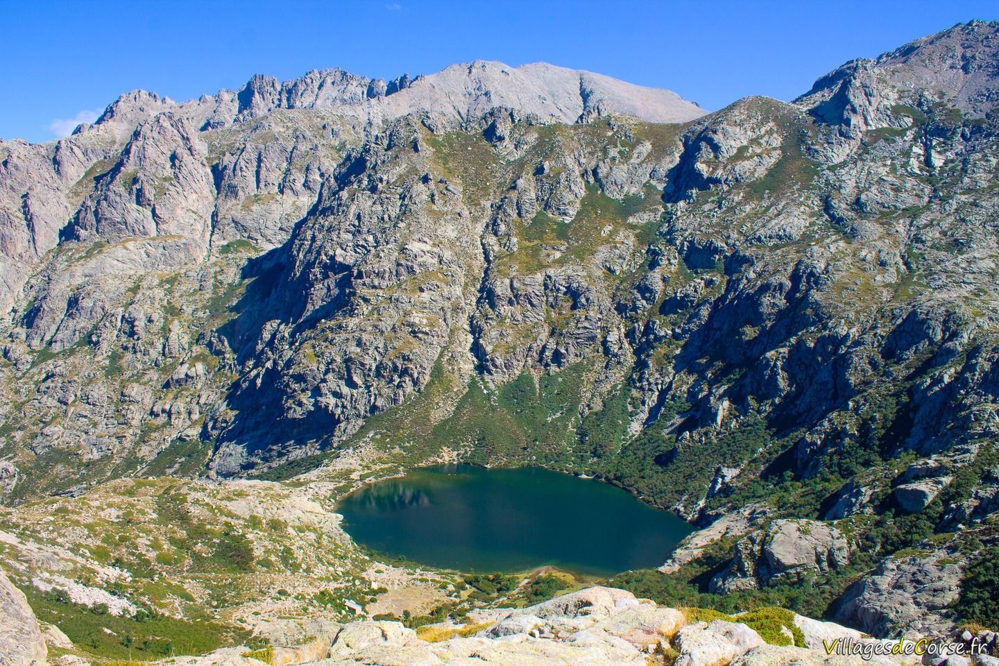
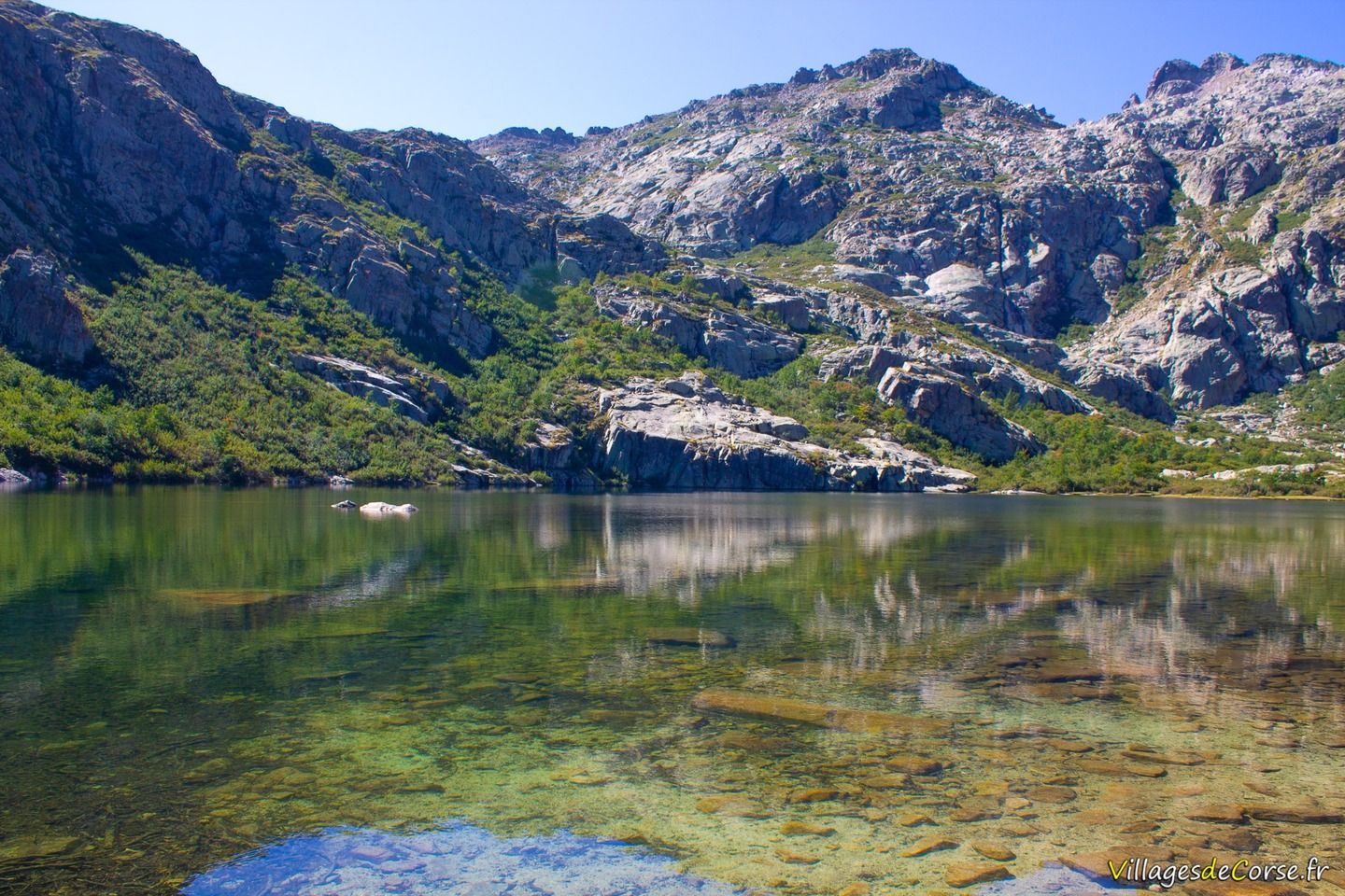
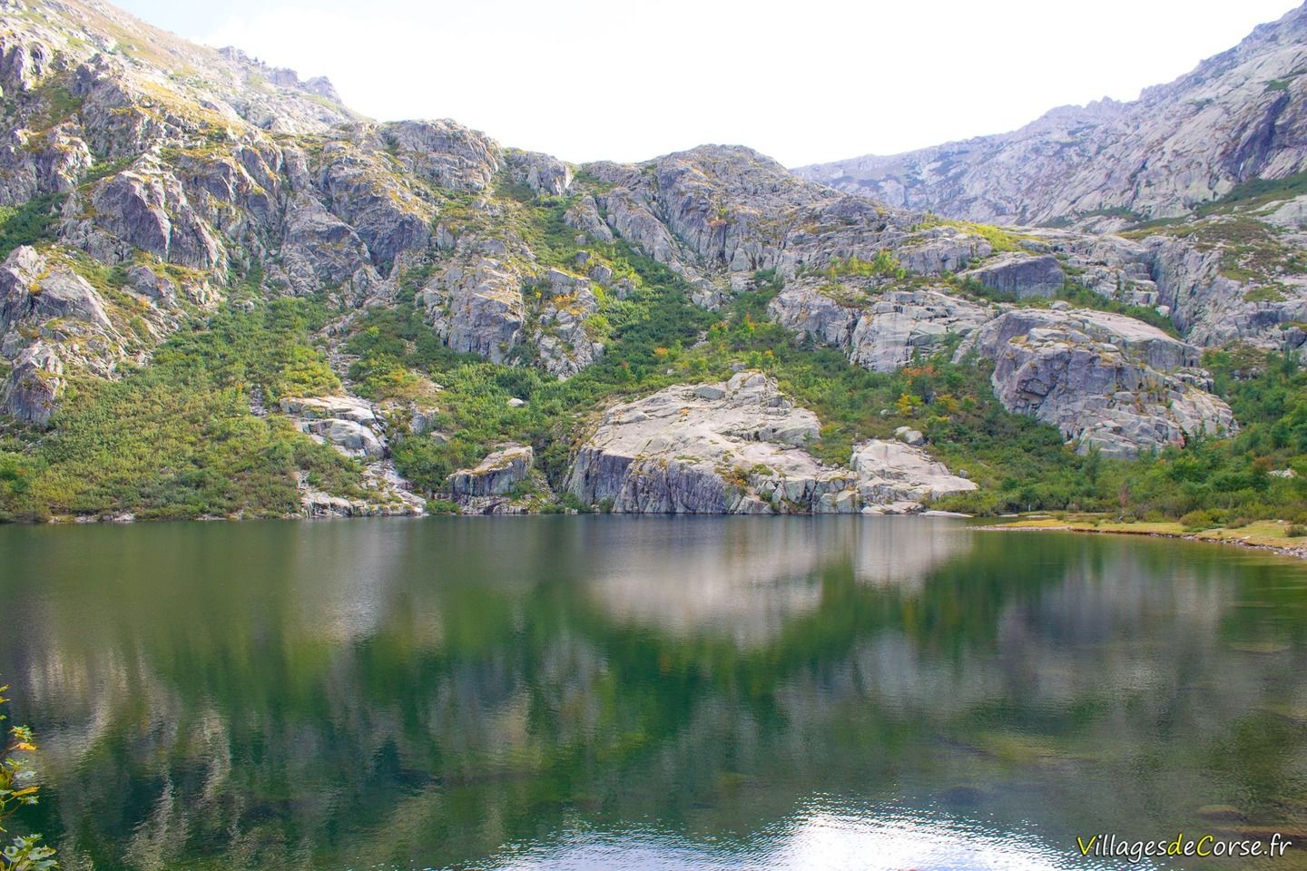
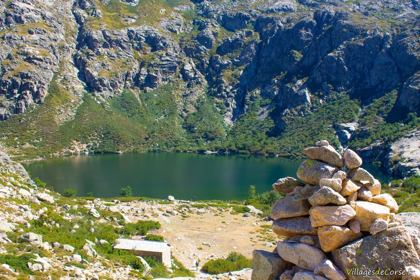
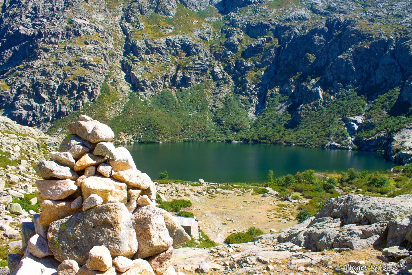
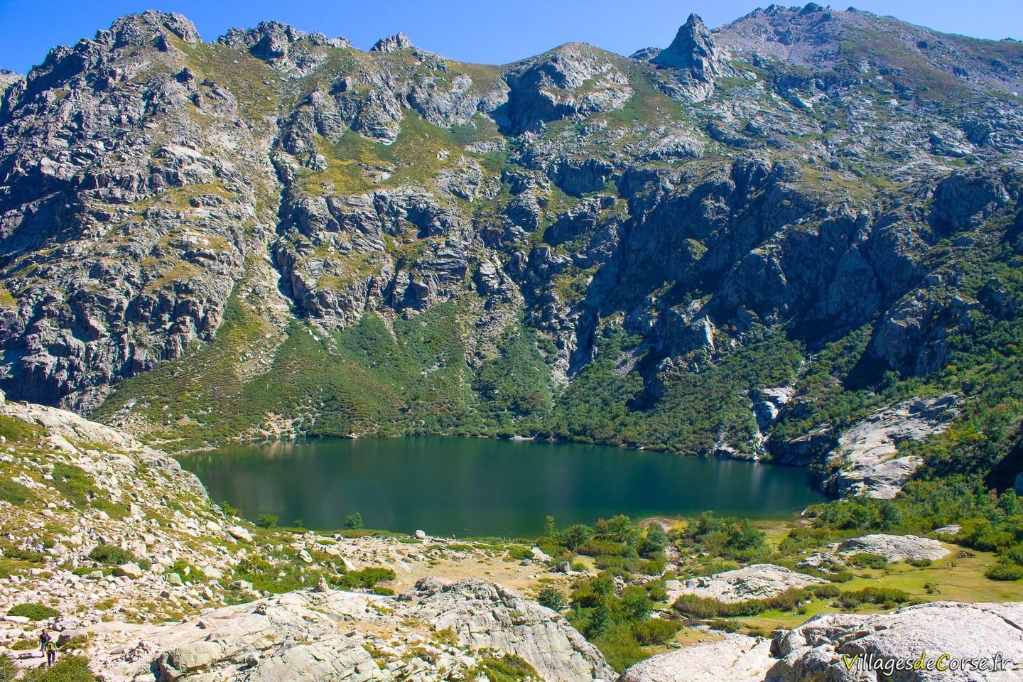
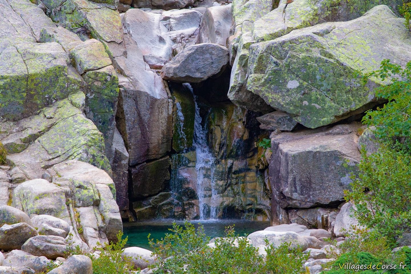
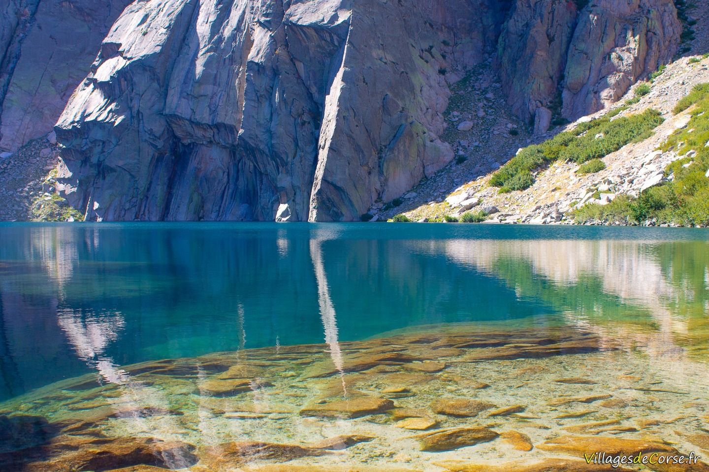
Lac de Melo - lavu di Melu - is a glacial lake located at an altitude of 1,711 metres and frozen for 5 to 6 months of the year. The Restonica rises at Lake Melo - itself fed by Lake Capitello - and flows for 13 km before joining the Tavignano river at Corte.
Circular in shape, with a diameter of around 300 metres and a surface area of 7 hectares, the Melo is impressive in its size. Its maximum depth is 15.5 metres.
The most visited in Corsica
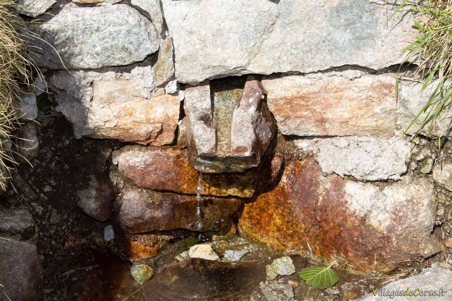
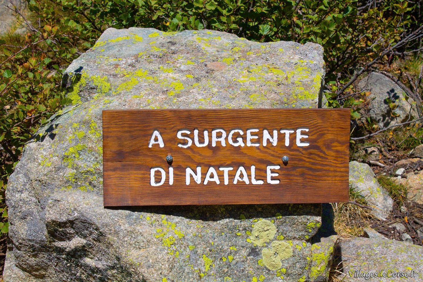
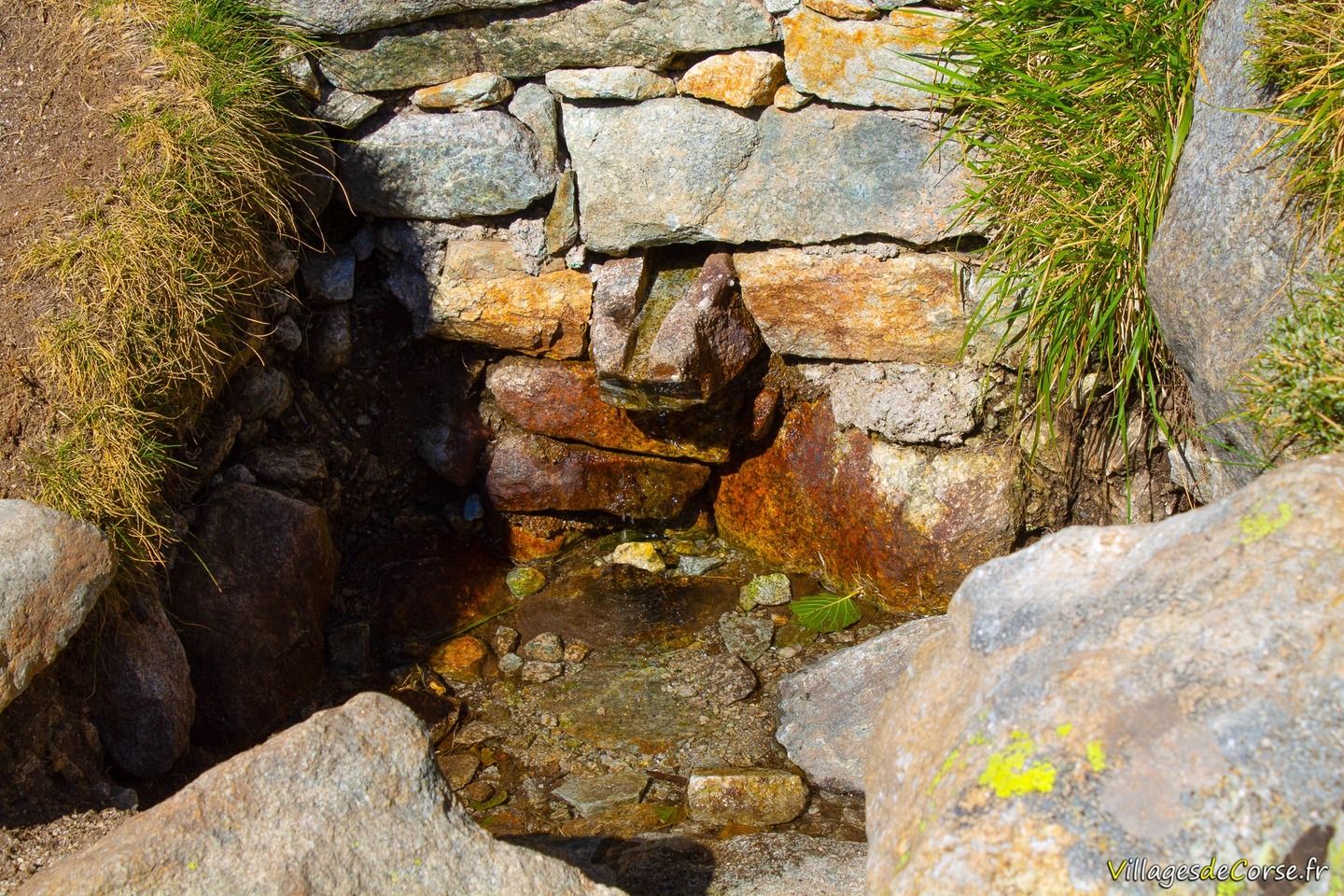
Melo is the island's most popular lake. It can be reached after an hour's easy walk, with a slightly tougher finish. But the eye candy is well worth the effort. However, it would be a shame not to continue the hike as far as Lake Capitello, where the view is even more enchanting. Note the small spring indicated - A Surgente di Natale - on the banks of the Melu.
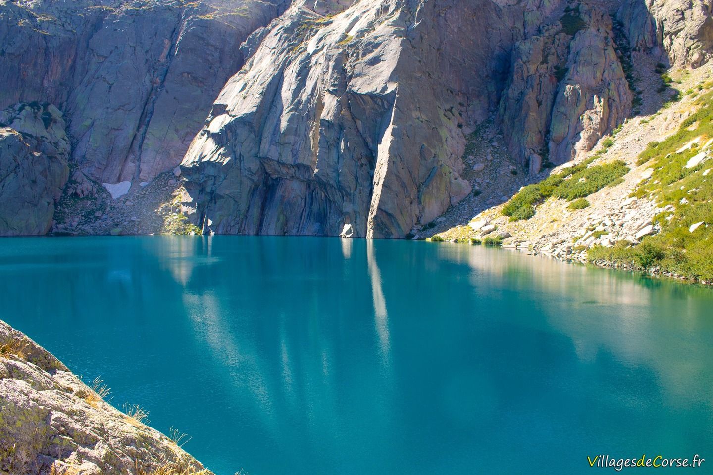
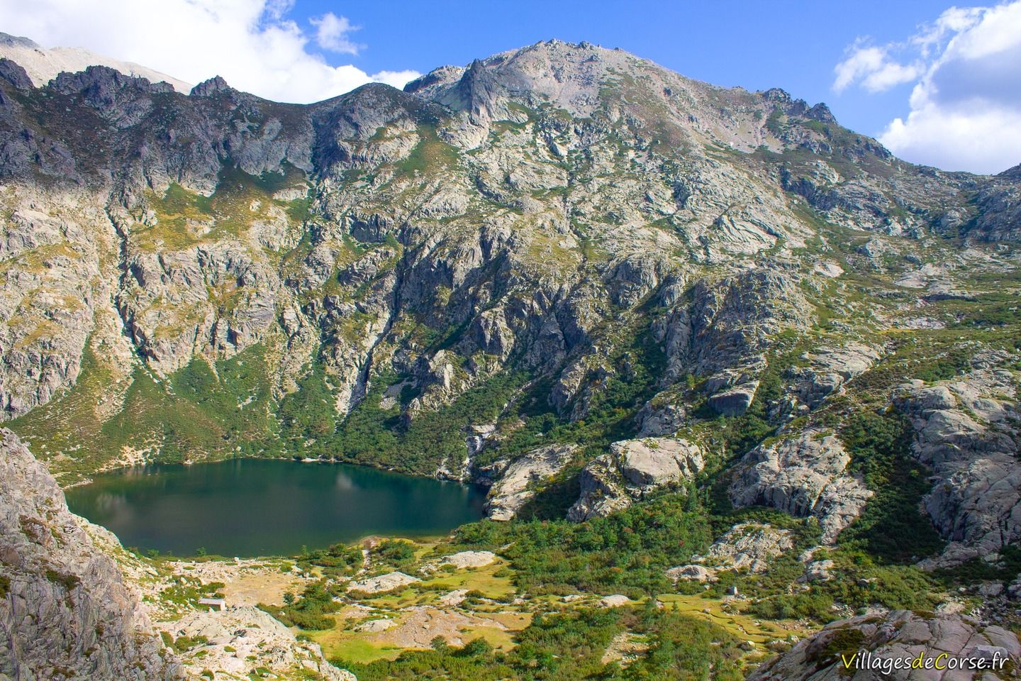
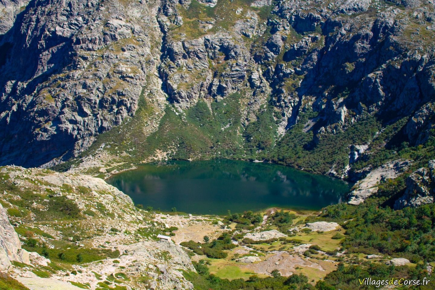
Lake Capitello
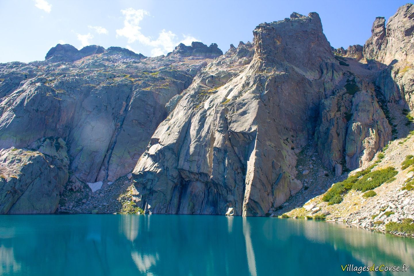
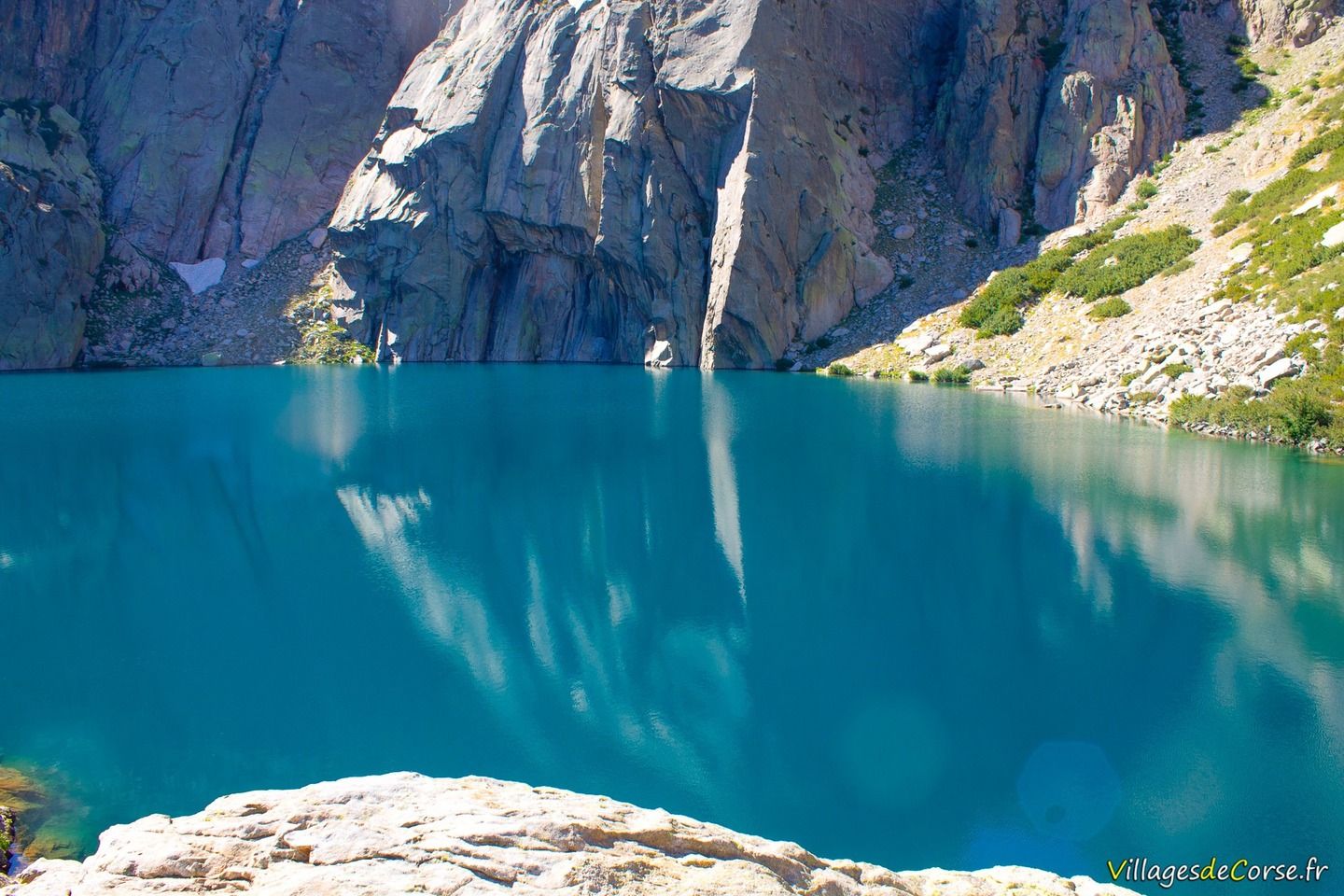
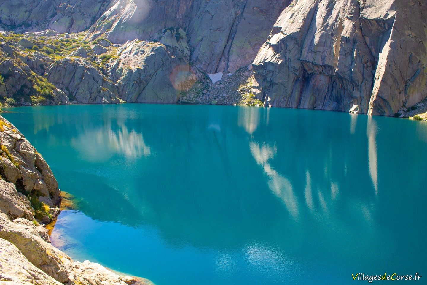
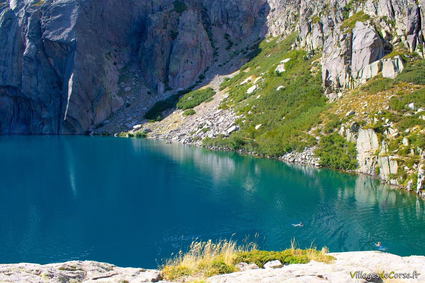
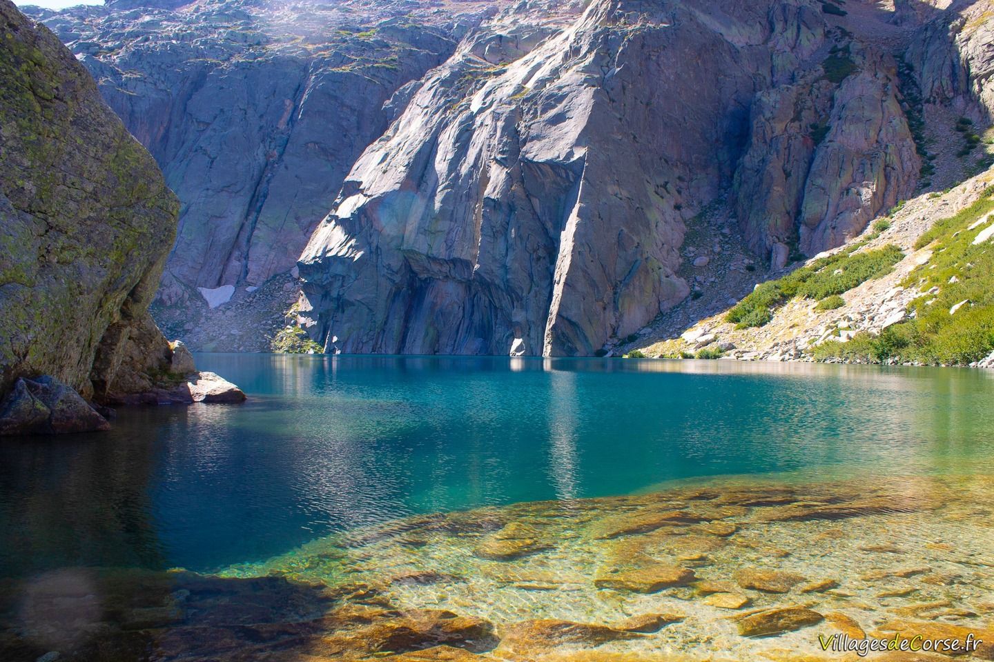
Located above Lake Melo, access to Lake Capitello is steeper among the rocks and requires good footwear to enjoy the beauty of this listed site. Perched at an altitude of 1930 metres, the lake is frozen for 8 months of the year. The water is clear, sparkling, turquoise and remarkably transparent.
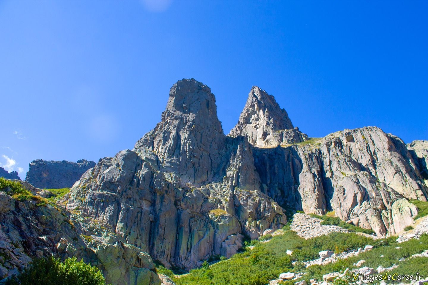
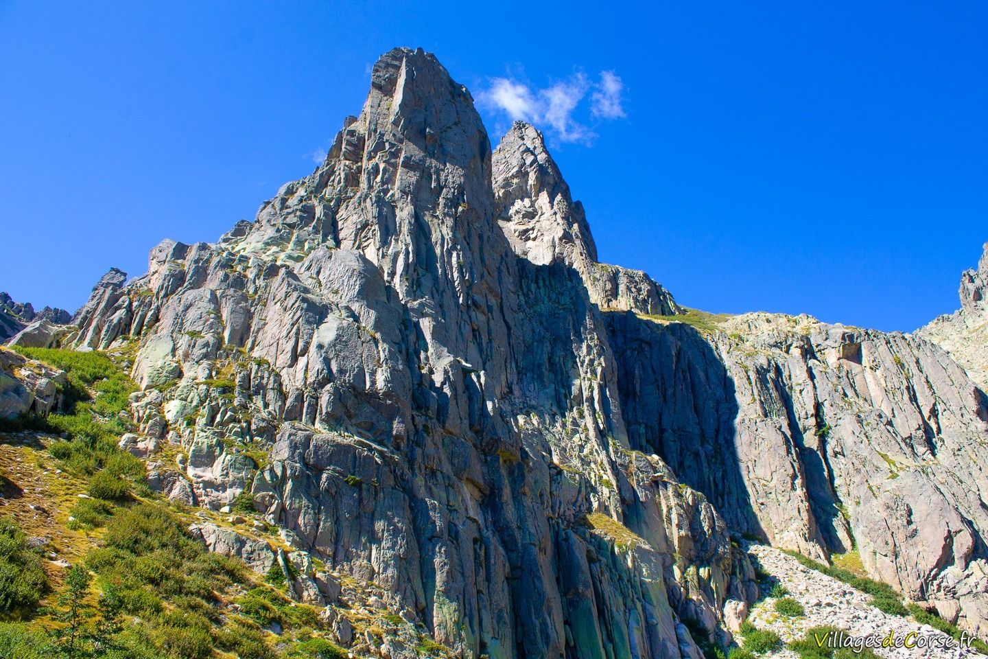
Just over 300 metres long and around 250 metres wide, it has an estimated surface area of 5.5 hectares. Its maximum depth is over 40 metres. Capitellu is dominated by the peak of the same name - Punta Capitello - at 2245 metres and Punta alle Porte at 2323 metres. If you're lucky, you may catch a glimpse of the Royal Eagle soaring over these high peaks.
Lake Capitello feeds Lake Melo, which lies 200 metres below and cannot be seen from Capitello.
Protected and listed site since 1966
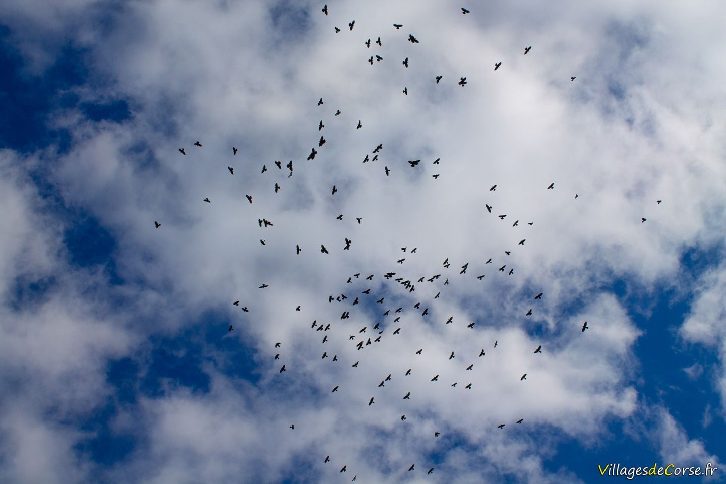
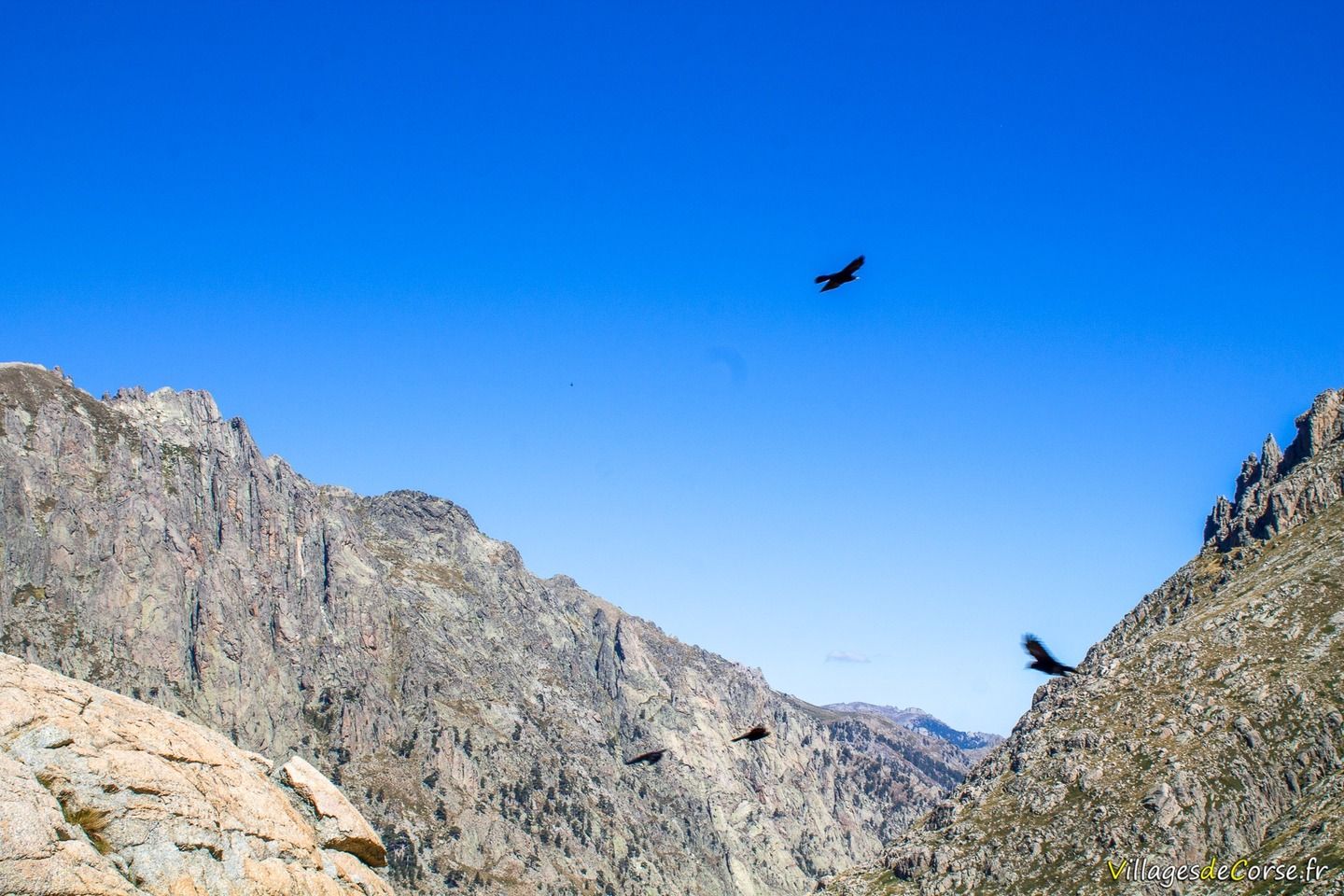
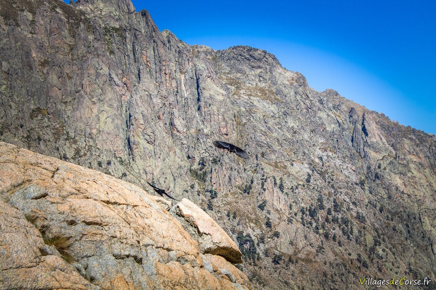
The site is home to flora and fauna threatened by human activity. You'll come across black birds that soar in the sky - yellow-billed choughs - as well as birds of prey such as the red kite.
The two lakes and their surroundings are a protected site under surveillance. The agents of the Corsican Regional Park are responsible for preserving this ecosystem to ensure the natural balance of the area.
It is forbidden to camp, light fires, leave rubbish or remove vegetation from the site.